Follow in the footsteps of Jane Austen on this self-guided walking tour of Bath, which takes you through the highlights of its UNESCO World Heritage listed historic centre, with spectacular Georgian architecture, leafy garden squares, thermal baths, museums and churches.
The route takes in some of Bath’s best-known sights, including the Royal Crescent, Bath Abbey, Pulteney Bridge and the Roman Baths. It starts at the Holburne Museum on the edge of Sydney Gardens and crosses the River Avon, running past the Abbey and through Royal Victoria Park to the Royal Crescent before climbing up through Bath’s quieter, hillside Georgian terraces.
This Bath walking tour covers 3.1 miles/5km and takes around 1–1.5 hours to walk straight through. But you could easily spread it out over a day or more if you want to visit some of the attractions along the route, browse the shops or stop off at Bath’s cafés, pubs and restaurants.
The walk is easy to moderate, with some hilly and cobbled sections – though there is a shortcut available if you want to avoid the steepest climbs, which cuts it down to 2.5 miles/4km.
Self-guided walking tour of Bath details and map
- Distance: 3.1 miles/5km.
- Time: 1–1.5 hours.
- Elevation: 184 feet elevation gain.
- Difficulty: Easy to moderate.
- Paths: Mainly pavements and concrete paths, with some cobbled sections.
- Accessibility: A few fairly steep up- and downhill sections in the second half.
- Map: 155 Bristol & Bath*
- Toilets: There are public toilets in Sydney Gardens (BA2 4DB) near the start of the walk. You can also find toilets along the route in the Parade Gardens, at the Roman Baths and in the Charlotte Street Car Park on the edge of Royal Victoria Park, near the Royal Crescent.
- Facilities: There’s a wide selection of shops, cafés and restaurants in Bath.

Click on the map above to be taken to Wikiloc, a free app where you can download a map and GPS directions for this self-guided walking tour of Bath.
Start/finish point
The starting point for the walk is the Holburne Museum on the edge of Sydney Park, to the northeast of the city centre. The finishing point is Pulteney Bridge, but if you want to end up back at the museum, just retrace your steps back down Great Pulteney Street (8 minutes’ walk).
If you’re travelling by car, there’s a small car park at the museum (BA2 4DB) which costs £7 for 3–4 hours. But Bath is notorious for its slow traffic, so another option would be to use one of the Park and Ride car parks around the edge of Bath and take their shuttle bus into the city.
Or it’s easy to reach Bath by public transport. From Bath Spa railway station it’s an 18-minute walk to the Holburne Museum. Or you could extend your walk by following the towpath of the Kennet and Avon canal from the station to the Bath Locks and then walk across Sydney Park to reach the museum, which would add on an extra 1.3 miles or 30 minutes’ walk to the route.
Self-guided walking tour of Bath route
Stage 1: Holburne Museum to the Royal Crescent
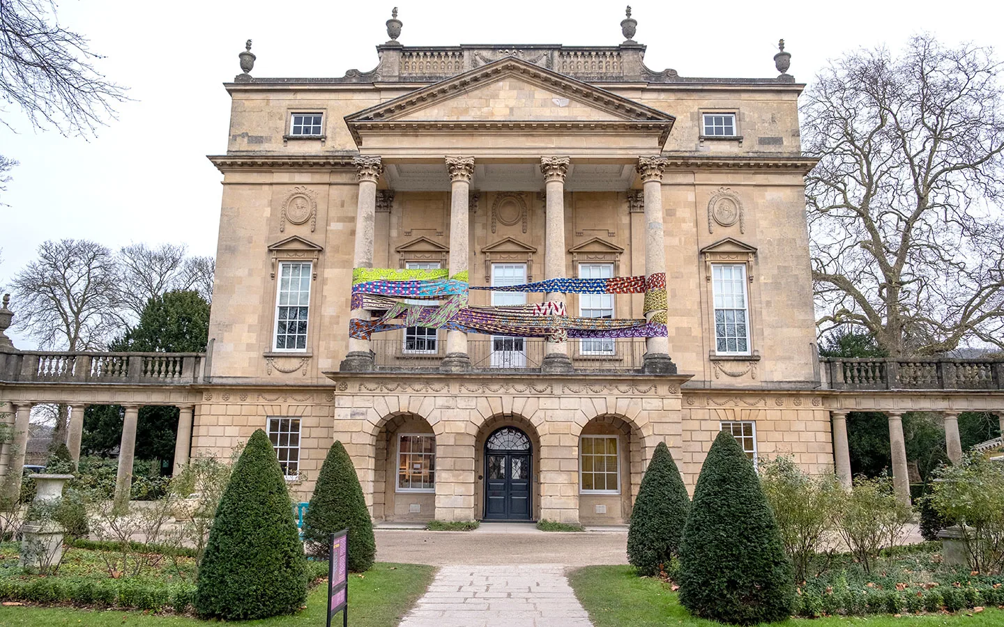
Start your Bath walk in front of the Holburne Museum. The museum is located in a grand former hotel on the edge of Sydney Park, former haunt of Jane Austen who lived across the street at 4 Sydney Place. Bridgerton fans might recognise the museum as Lady Danbury’s townhouse from the Netflix series. And inside there are 18th-century artworks, porcelain and silver on display.
With the museum behind you, walk down Great Pulteney Street. It was built in 1789 for Sir William Pulteney and is Bath’s widest street, lined with impressive Georgian townhouses. You pass through Laura Place, named after Pulteney’s daughter, with a pretty fountain in the centre.

At the end of the street, cross over Pulteney Bridge. It’s one of Bath’s most iconic sights and one of only four bridges in the world with shops built into each side (if you look through the windows on the left you’ll see how narrow they are). The bridge was built for William Pulteney to help drive up land prices on the other side of the River Avon, and was inspired by classical design.
Once you’ve crossed the bridge, turn left down Grand Parade. If you look behind you there’s a great view of Pulteney Bridge and the horseshoe-shaped weir beneath it – this was used as a location for the 2012 film Les Misérables, with Javert jumping to his death into the weir.

Follow the road as far as the Parade Gardens, built on the site of an 18th-century pleasure garden and known for their beautiful floral displays. Cross the road with Bath Abbey in front of you, and walk down Terrace Walk, taking the pathway between The Abbey Hotel and The Huntsman.
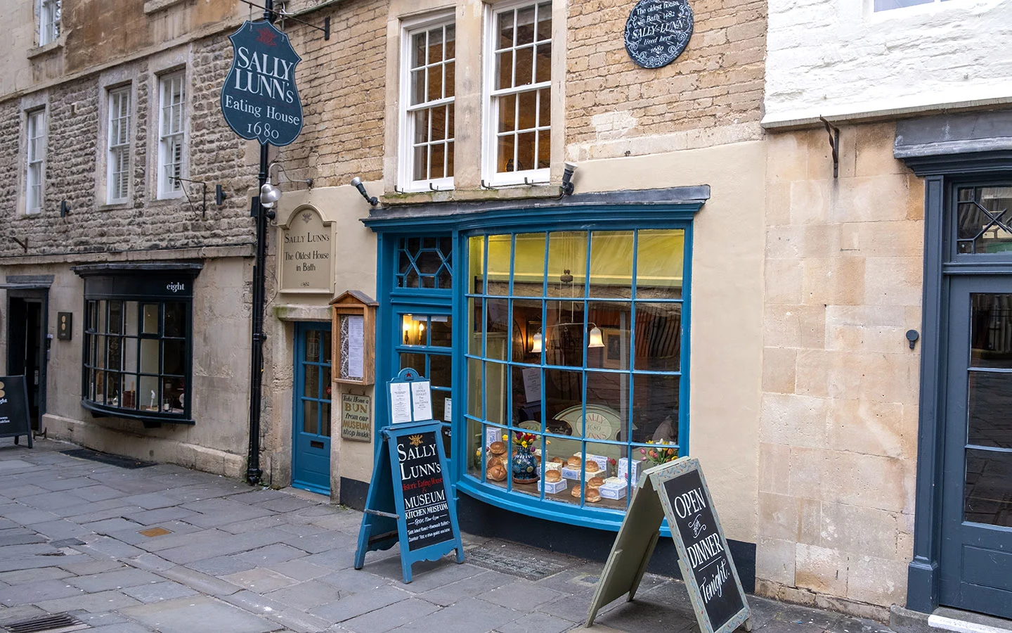
Walk along North Parade Passage past Sally Lunn’s, one of the oldest houses in Bath from around 1482. It’s the home of the Sally Lunn bun, a kind of brioche brought to Bath by a 17th-century French emigrant – you can see her original kitchen in a small museum in the basement.
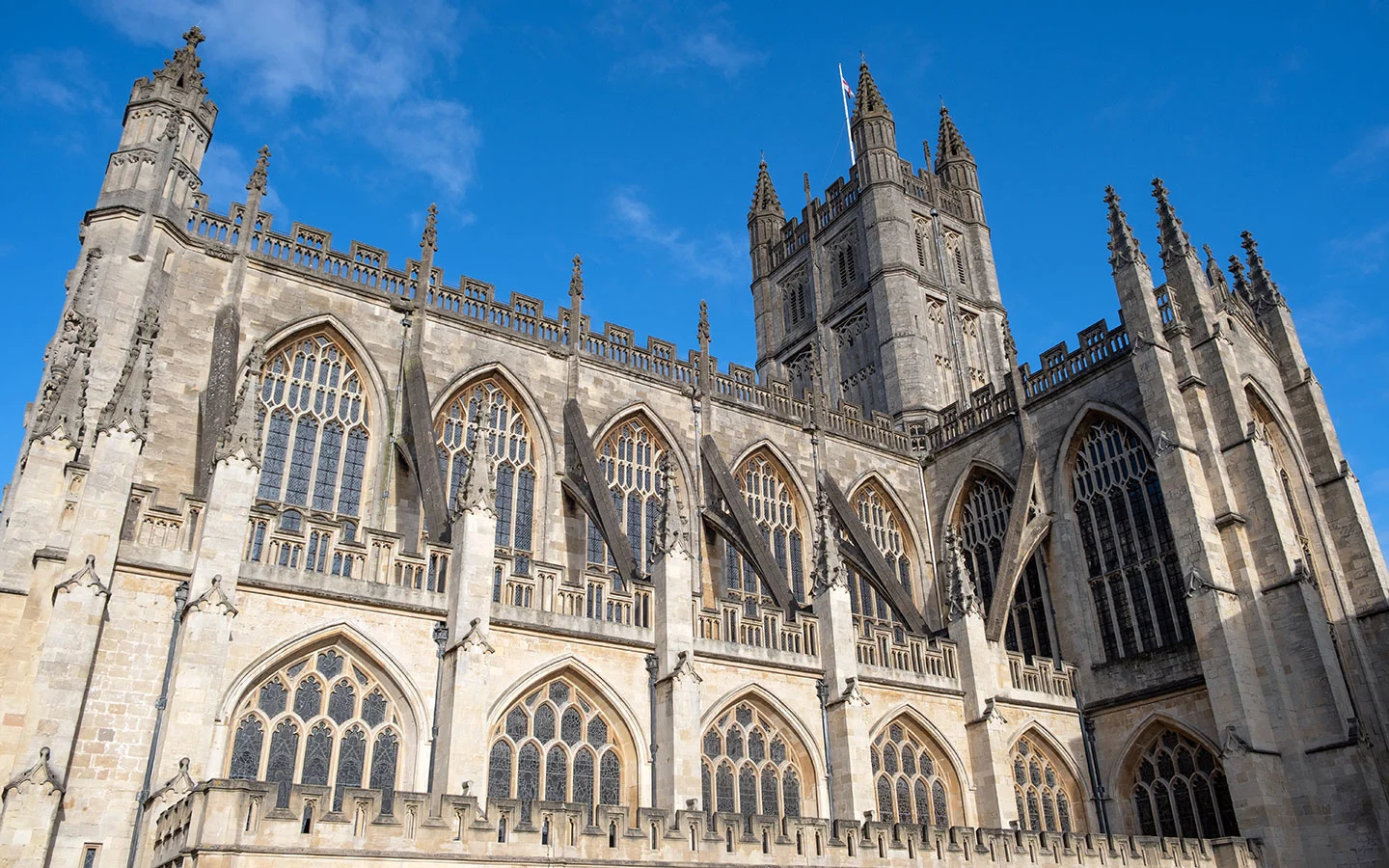
At the end of the passage, turn right down Church Street and you’ll see Bath Abbey ahead. The abbey was built in 1499 on the site of an older church, and has impressive fan-vaulted ceilings and stained-glass windows – you can also climb the tower for great views over Bath. Look out for the stone roundel in the Abbey Churchyard too which marks the end of the Cotswold Way.
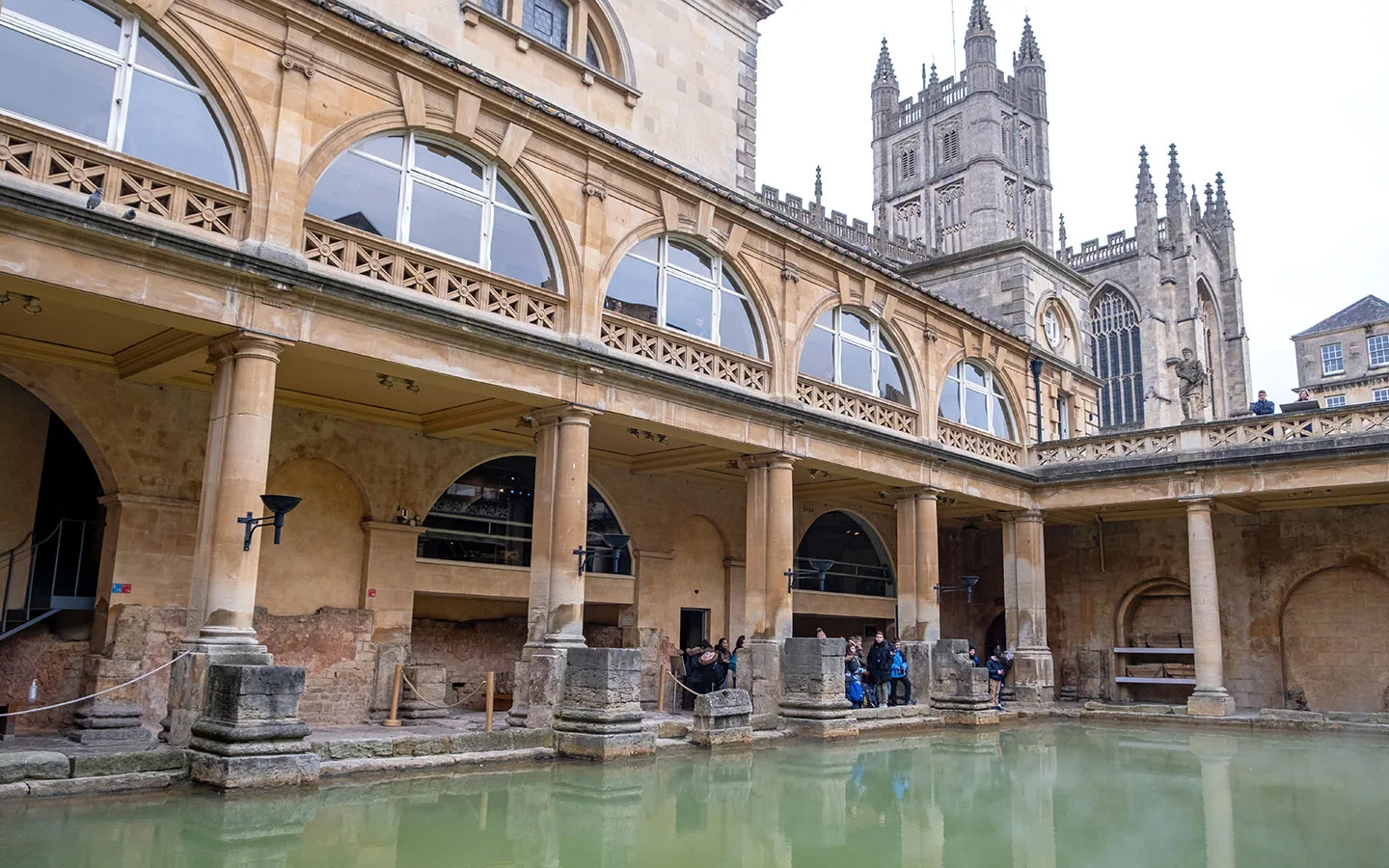
Opposite the abbey are the Roman Baths, built in 70 BC on the site of Britain’s only natural hot springs with water heated to 46°C. They were part of a large Roman site which also included a temple to the goddess Sulis Minerva. And next door are the Pump Rooms, built in 1776 for visitors coming to take the waters and still a popular spot for a traditional afternoon tea.
Go under the arches at the end of the Abbey Churchyard and turn left onto Stall Street, taking the first right down Bath Street. At the end of the street you’ll see the Cross Bath ahead. This is part of the Thermae Bath Spa complex to your left, where you can soak in Bath’s naturally heated spring waters – you can just see their rooftop pool as you walk round to the left of the Cross Baths.
Turn right down Hetling Court, then right at the end and follow Westgate Buildings uphill. Carry straight on along Saw Close and then Barton Street. On your left you’ll see Queen Square, surrounded by elegant Georgian buildings with a stone obelisk in the centre. This was erected in 1738 by Beau Nash, the dandy and socialite who helped Bath become a fashionable resort.

Carry on past Queen Square along Gay Street, passing two museums dedicated to authors who lived in Bath in the 1800s – the Jane Austen Centre and Mary Shelley’s House of Frankenstein. Then turn left down Queen’s Parade Place, taking the steps on the left into the park.
Royal Victoria Park was dedicated to Princess (later Queen) Victoria, who opened it in 1830 on her one and only visit to Bath. It covers 57 acres, with botanic gardens, ponds, tennis courts and an adventure playground. Follow the Gravel Walk which runs along the edge of the park.
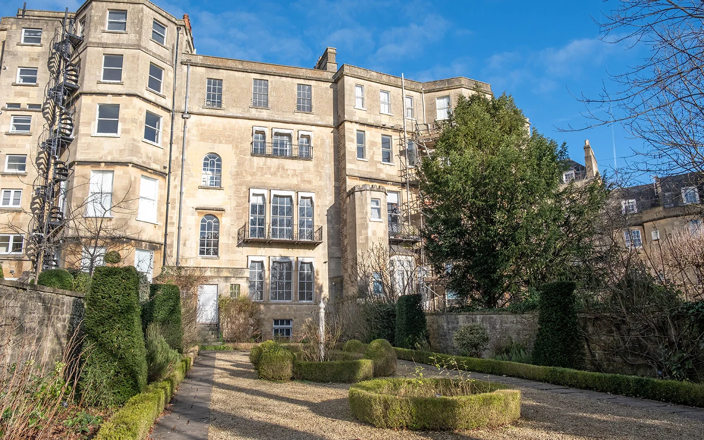
Look out for the Georgian Garden through a doorway in the wall on the right. This tucked-away garden recreates what it would’ve looked like around 1760–1770. Excavations uncovered the original position of flower beds and paths, and it’s been planted with species popular at the time.
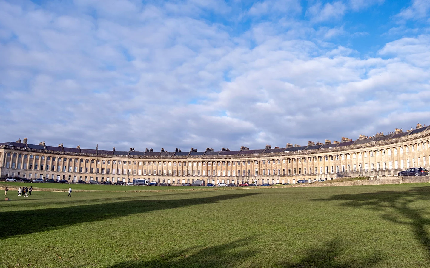
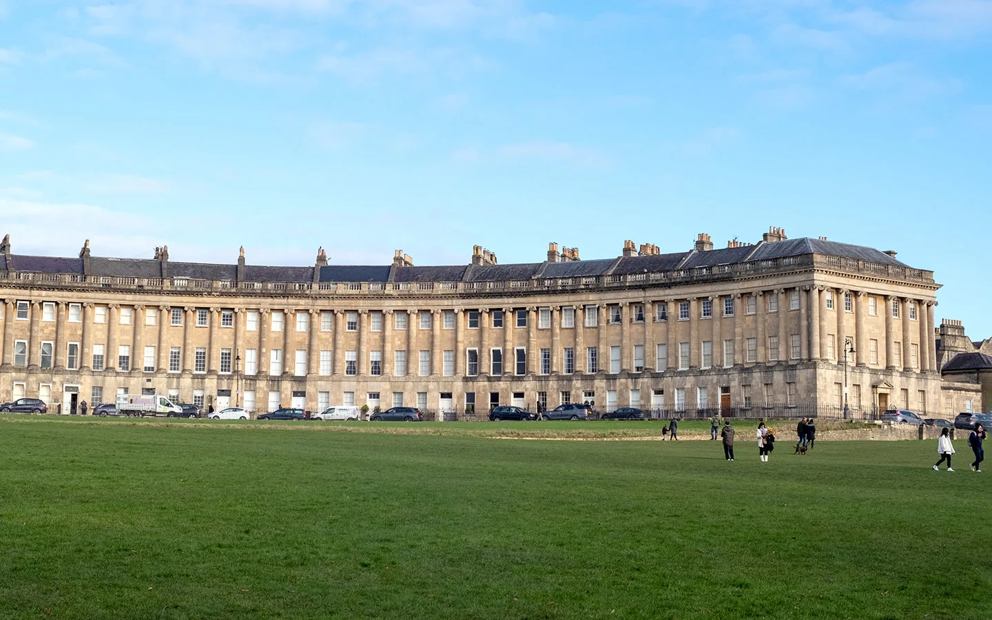
At the end of the path you’ll emerge into a grassy area with the Royal Crescent to your right. Follow the path ahead for a great view of the whole crescent. Then turn right at the end and walk along Marlborough Buildings before turning into the crescent to take a closer look.
One of Bath’s most iconic landmarks, the Royal Crescent was built between 1767 and 1775, and is made up of 30 houses. It’s been seen on screen in period dramas like The Duchess (2008) and Persuasion (2022). In the middle is the luxurious, five-star Royal Crescent Hotel, and No 1 Royal Crescent is a museum showing what life would’ve been like for its Georgian residents.
Stage 2: The Royal Crescent to Pulteney Bridge
When you reach the end of the Royal Crescent, go straight on down Brock Street. At the end of the street is another of Bath’s most impressive addresses – The Circus. This circular street was designed by architect John Wood the Elder, and completed by his son in 1768 after his death.
Wood was fascinated by druids, and designed the Circus to have the same diameter as Stonehenge. If you look closely at the stonework you can see carvings of animals, plants and symbols, and there are plaques showing where famous residents like painter Thomas Gainsborough once lived.

Follow the Circus around to the left, and then turn off down Bennett Street. On your left is the Museum of East Asian Art, and on your right is the Bath Assembly Rooms. This was where members of Georgian high society would gather to be entertained with ballroom dancing, card games and concerts. They’re now open to the public when not being used for events.
If you want a shorter walk (and to avoid the hills), you can turn right down Saville Row at this point, crossing the road to pick up the route at Milsom Street, cutting off 0.5 miles.
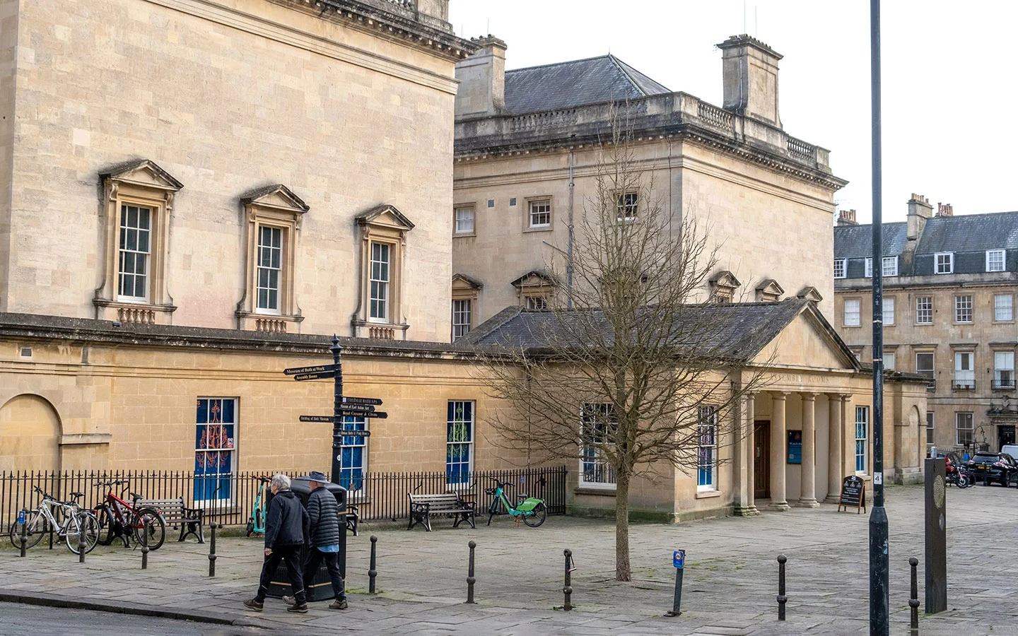
Turn left up Russell Street after the Assembly Rooms, then cross over the road and walk along the left-hand side of Christ Church towards the Museum of Bath at Work. This museum reconstructs different workplaces from Bath’s history, from stone mines to an ironmonger’s shop.
Walk up the steps towards the museum and go around to the left walking through the gateway onto Morford Street and climbing uphill. At the end of the street, cross over Lansdown Road (watch out for traffic as it can be busy) for a short diversion along Camden Crescent.
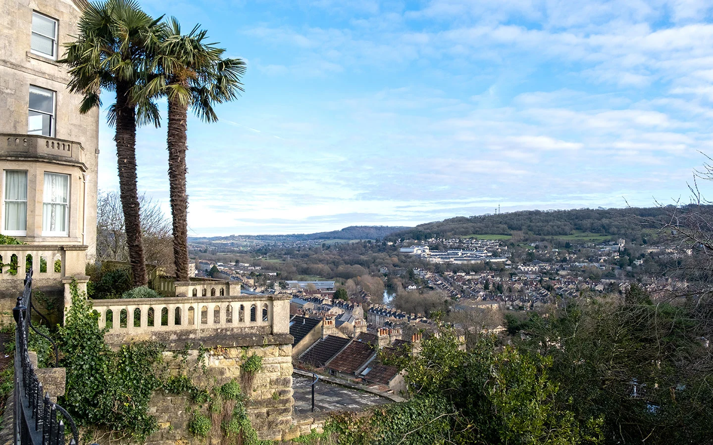
The crescent has beautiful Georgian houses – but if you look closely you can see that the central buildings with the pillars aren’t in the middle, as a landslide knocked down nine houses originally at the east end. Partway along there’s a bench with panoramic views out over Bath.
Retrace your steps back to the start of Camden Crescent and turn immediately left down Upper Hedgemead Road. Turn off into Hedgemead Park and walk through the park, passing the bandstand and children’s playground. The park was originally covered in houses, but a series of landslides made it unsafe so it was turned into a terraced pleasure gardens in 1889.
At the south end of the park, cross over Guinea Lane and walk down the steps next to the nursery to join The Paragon. Follow this wide street of Georgian houses to the right, passing the Countess of Huntingdon’s Chapel which houses the Museum of Bath Architecture (currently closed).

At the end of The Paragon, cross over Broad Street and take the next left down Milsom Street (shorter version of the walk rejoins at this point). Milsom Street is a popular shopping street with high-end stores, including Jolly’s which has been serving Bath shoppers since 1830.
When you reach the end of Milsom Street, carry on straight ahead, following Burton Street then Union Street. Turn left down pedestrianised Northumberland Place, which has a few good places to stop for food and drink, including the Victorian Coeur de Lion, Bath smallest pub.

At the end of Northumberland Place, go through the archway and you’ll see the Guildhall in front of you. Walk through the Guildhall Market, an indoor market selling food and drink, hardware, pet supplies and arts and crafts. There’s been a market here since 1284. The exit on the other side of the market takes you back out onto Grand Parade, with Pulteney Bridge in front of you.
If you want to return to the starting point at the Holburne Museum, cross Pulteney Bridge and walk straight ahead down Great Pulteney Street. Otherwise there are lots of cafés, pubs and restaurants nearby to finish your self-guided walking tour of Bath – or you can explore further on a boat trip along the River Avon, which departs from Pulteney Weir and takes around an hour.

Save for later

* This site contains affiliate links, where I get a small commission from purchases at no extra cost to you.
