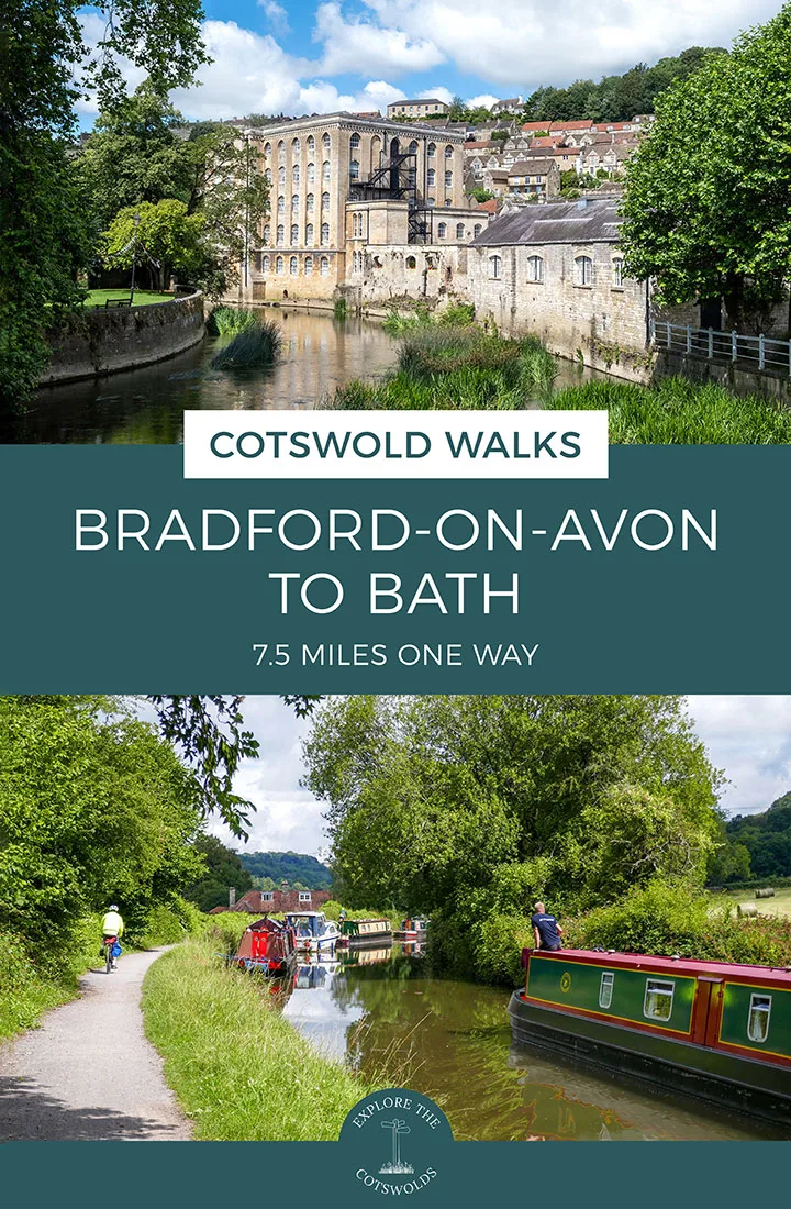
Take a walk along the peaceful Kennet and Avon Canal on this 7.5-mile/12km Bradford on Avon to Bath walk in the Cotswolds, which winds its way past colourful narrowboats, historic aqueducts and across wide open downs on its journey into the UNESCO World Heritage city of Bath.
The route is one way but it’s an easy walk to do by public transport as there are train stations at both ends of the route (and one partway through if you don’t want to walk the full distance).
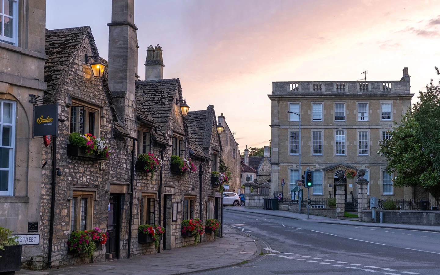
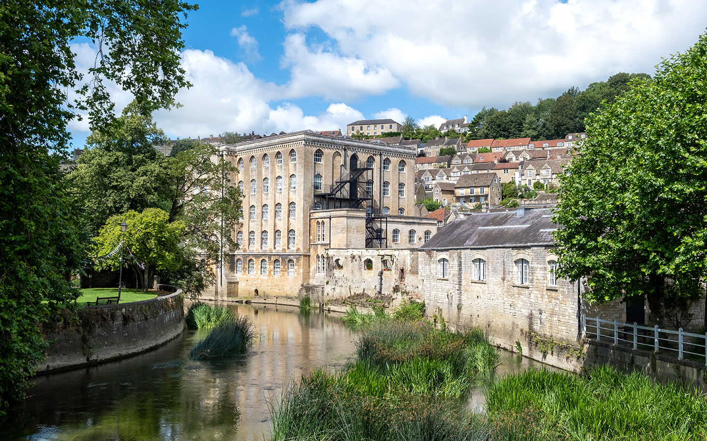
The walk starts in the picturesque riverside town of Bradford on Avon and follows the River Avon before joining the Kennet and Avon Canal. It runs along the canal towpath across the Avoncliff and Dundas Aqueducts before heading inland and climbing steeply up onto Claverton Down.
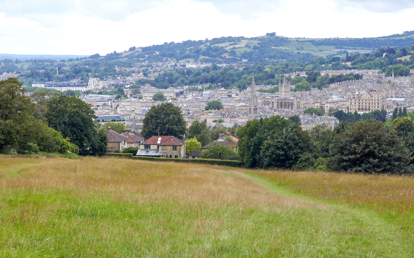
The route joins the Bath Skyline Walk as it heads downhill into Bath, with panoramic views over the city. And finally it rejoins the Kennet and Avon Canal for the last stretch into Bath. The route takes 3–3.5 hours and although much of it is flat, the steep section makes it moderately difficult.

Bradford on Avon to Bath walk details and map
- Distance: 7.5 miles/12km.
- Time: 3–3.5 hours.
- Elevation: 192 feet elevation gain.
- Difficulty: Moderate.
- Paths: A mix of concrete, stony, dirt and grass paths.
- Accessibility: One stile and several kissing gates, plus a steep up- and downhill climb into Bath.
- Map: 156 Chippenham & Bradford on Avon* and 155 Bristol & Bath*
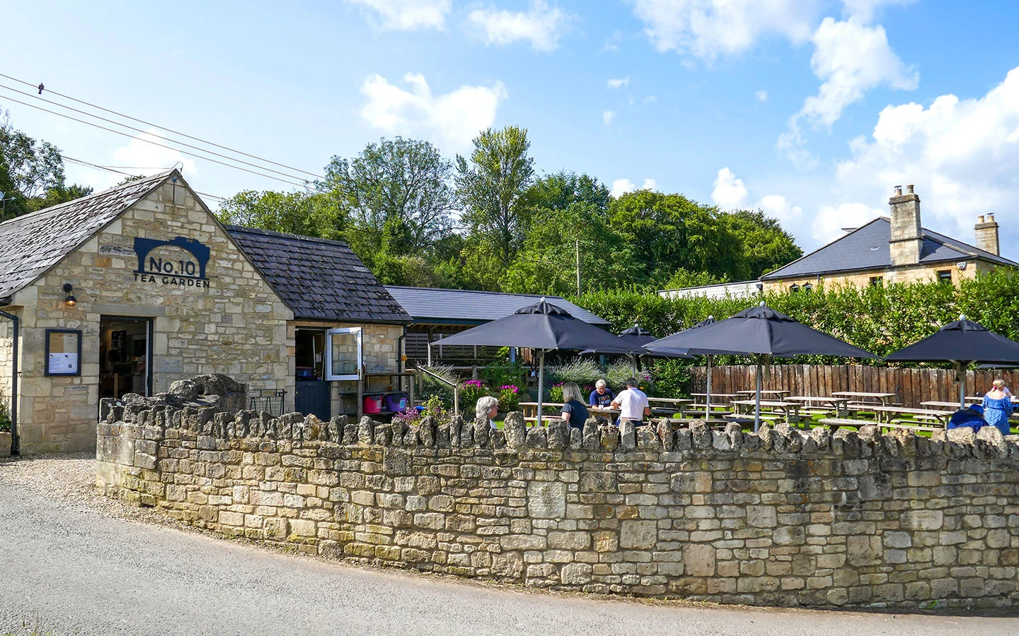
- Toilets: There are public toilets in Bradford on Avon at St Margaret’s Car Park (BA15 1DE) and the Station Car Park (BA15 1DF), as well as at Bath Spa railway station. There are also customer toilets at No 10 Tea Garden and the Cross Guns pub in Avoncliff.
- Facilities: There’s a wide selection of shops, cafés and restaurants in Bradford on Avon and Bath. In Avoncliff, the No 10 Tea Garden serves breakfasts, drinks and cakes (open Friday–Sunday) or the Cross Guns pub does food and drinks (open Thursday–Monday).
Disclaimer: While we try to keep information up-to-date and accurate, Explore the Cotswolds cannot accept responsibility for errors or omissions. Walks are undertaken at your own risk, and we are not liable for any personal injury, loss or damage that may occur.


Click on the map above to be taken to Wikiloc, a free app where you can download a map and GPS directions for the Bradford on Avon to Bath walk.
Starting point
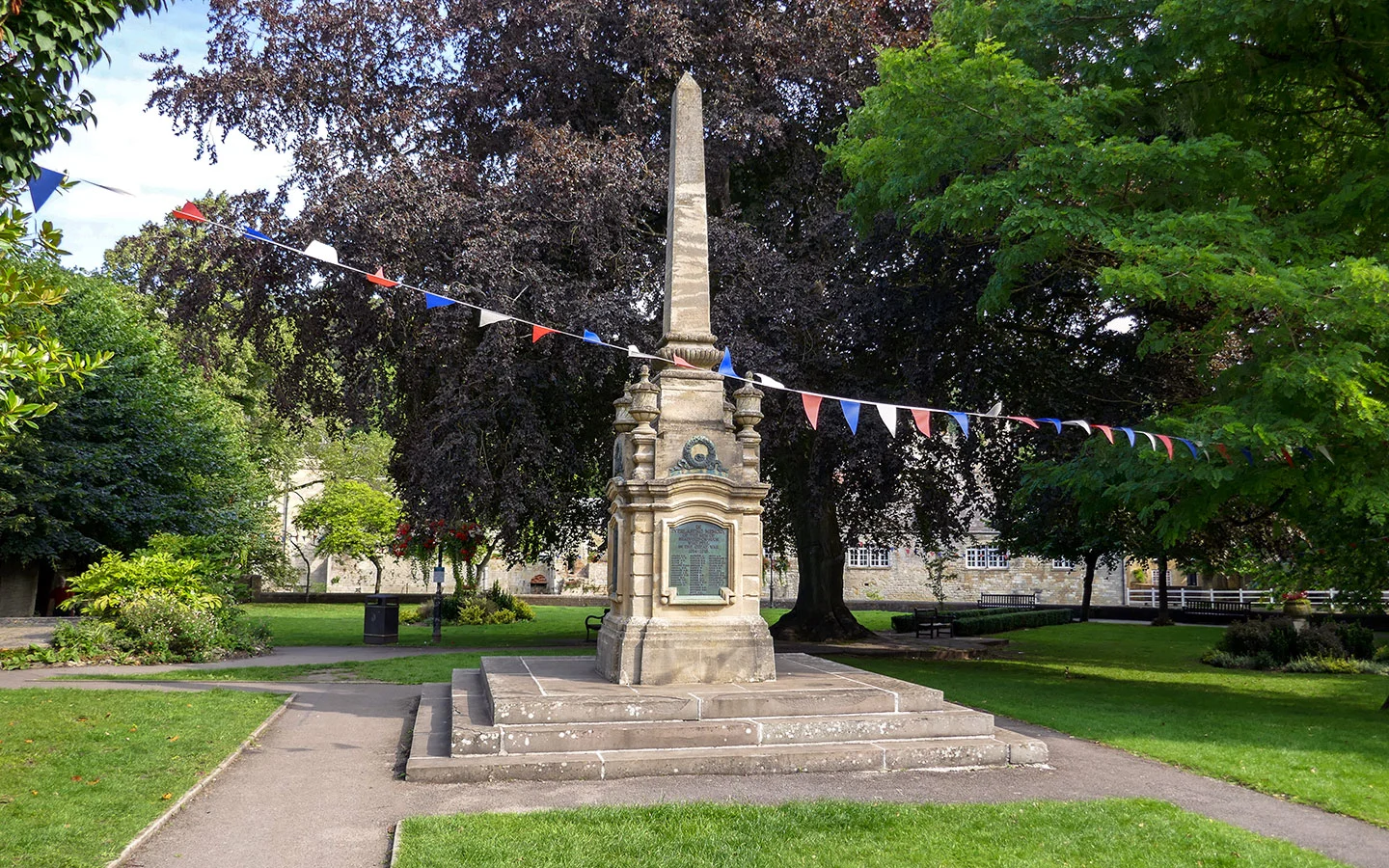
The starting point for the Bradford on Avon to Bath walk is Bradford on Avon’s war memorial, next to the visitor information centre on St Margaret’s Street, close to the Town Bridge.
If you’re travelling by car, there’s paid parking available at St Margaret’s Car Park (BA15 1DE), right at the start of the walk, but it has a maximum stay of three hours. All-day paid parking is available in Zone B at the Station Car Park (BA15 1DQ) though, a couple of minutes’ walk away.
Or it’s easy to get to Bradford on Avon by public transport as it’s on a mainline train line. Direct trains run to Bath (12 minutes), Bristol Temple Meads (30 minutes) and Salisbury (45 minutes).

Finishing point
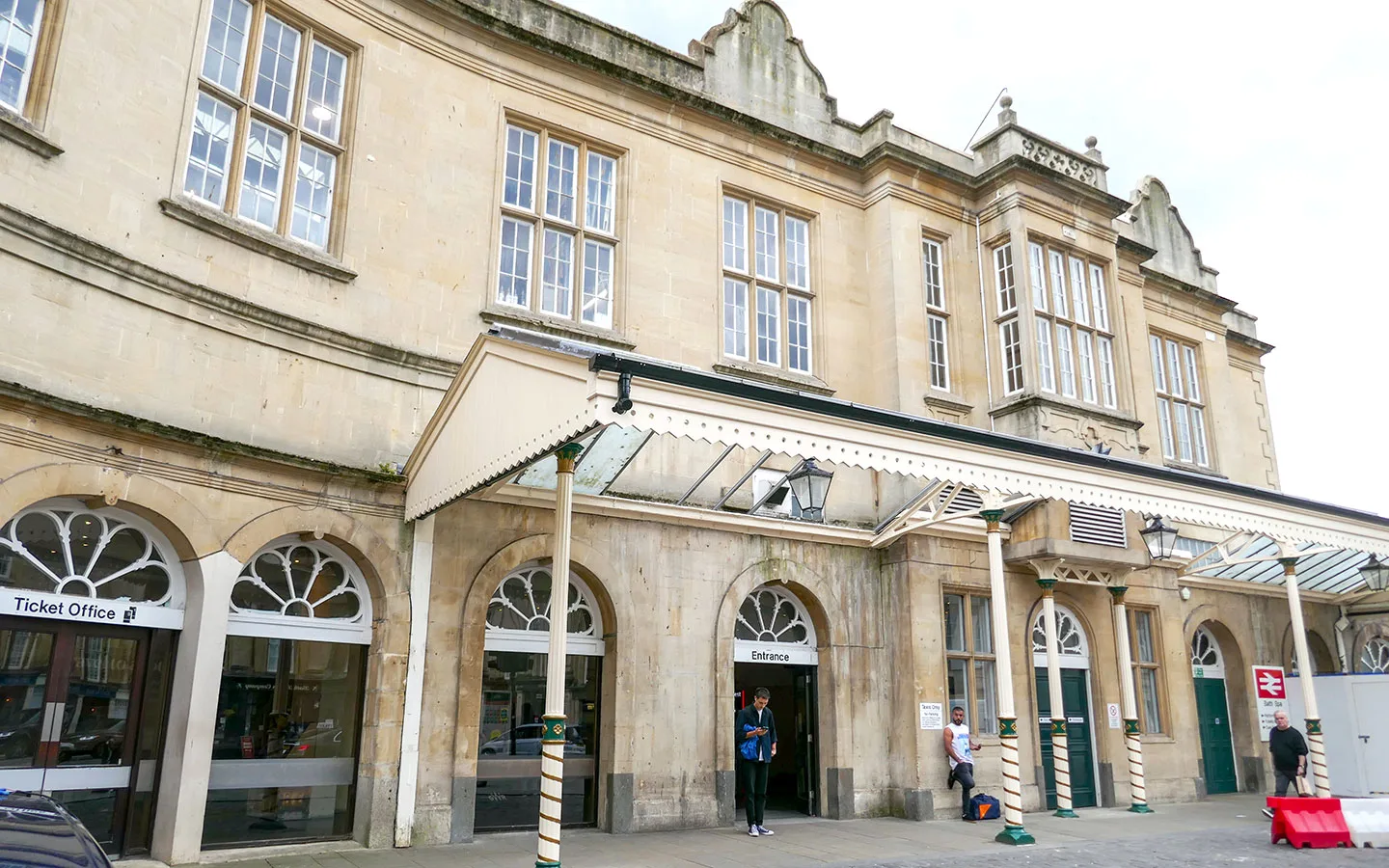
The finishing point for the walk is Bath Spa railway station. You can get back to Bradford on Avon on a direct train. Trains take 12–15 minutes and run around three times an hour. You could also catch the First Bus D1 from Bath Bus Station to Bradford on Avon, which takes 40 minutes.

Bradford on Avon to Bath walk route
Stage 1: Bradford on Avon to Dundas Aqueduct
Start your walk under the archway on St Margaret’s Street, in front of the Bradford on Avon war memorial. With the Town Bridge behind you, walk down the road and quickly turn off to the right, walking through St Margaret’s Car Park and past the Timberell’s Yard hotel.
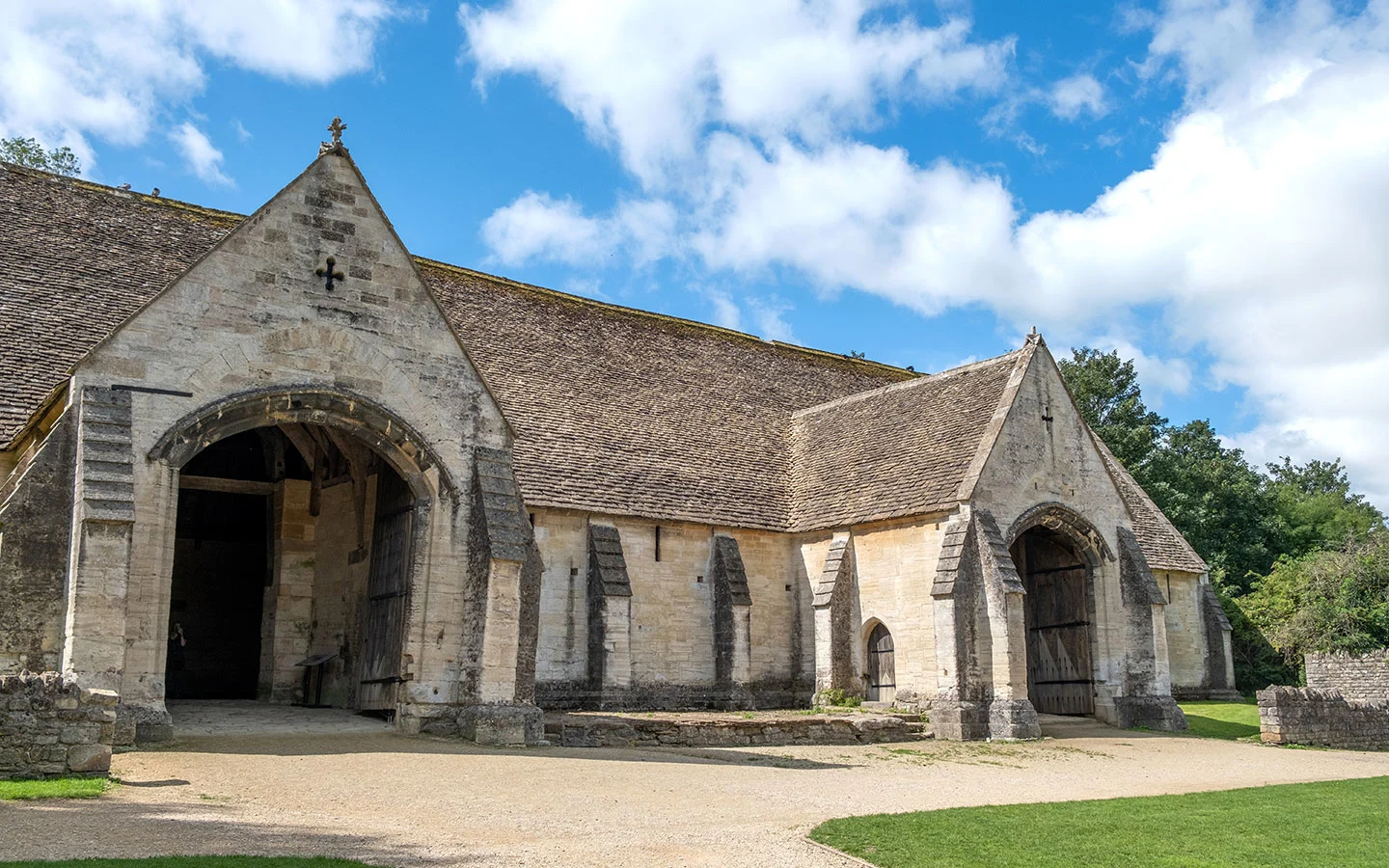
Join the waterside path in front of the hotel, which runs underneath a railway bridge then passes Bradford on Avon Tithe Barn. The barn was built in the 14th century and is one of the country’s largest medieval barns – it’s now run by English Heritage and is free to look around.

When the path splits in front of the tithe barn, stay on the right-hand path along the edge of the River Avon. Then when the path splits again, take the left-hand concrete path rather than the gravel path on the right, which goes into Barton Farm Country Park, a 36-acre green space.
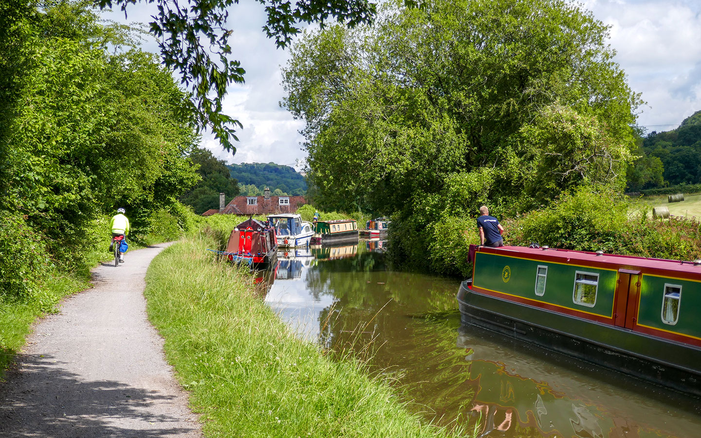
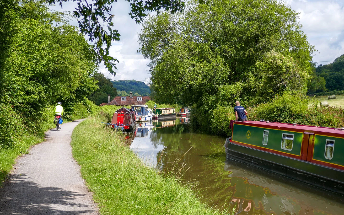
Follow the path uphill towards a wooden bridge then turn right and join the canal towpath along the Kennet and Avon Canal. The canal runs for 87 miles between London and Bristol, and was built between 1794 and 1810. It’s now a popular spot for narrowboats, canoes and paddleboards.
When you reach the Avoncliff Aqueduct, where the canal crosses the river on a 100-metre-long bridge, follow the path downhill signposted Dundas towards the Cross Guns pub. But before you get to the pub, turn off to the left and follow the path downhill which runs under the bridge.
On the other side of the bridge, turn left and climb up the steps. When you come out in front of the No 10 Tea Garden (which is a good stop for tea and cake), carry on up more steps onto the canal path, where you’ll emerge on the opposite side of the canal to where you were before.

If you’d rather do a shorter walk (1.6 miles/2.6km), rather than crossing under the bridge, stay on the right-hand side of the canal and walk over the aqueduct to Avoncliff station, where you can catch a train back to Bradford on Avon or on to Bath.
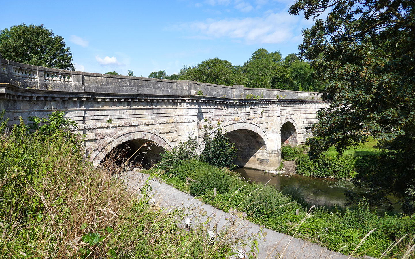
Follow the canal towpath (watch out for passing bikes as it’s also a cycle route) until the canal turns to the left and crosses over the river and train line on the Dundas Aqueduct. This was built by John Rennie in 1810 and was where cargo-carrying narrowboats pulled up to be weighed.


If you fancy a coffee or ice cream, look out for the ‘Dawdling Dairy’, a narrowboat shop on the edge of the Brassknocker Basin, where you can sit and watch the boats go by.
Cross over a small lock. At this point the canal continues on towards Bath, five miles away. We’re taking a shorter route over the hills, but if you didn’t want to make the climb you could carry on all the way along the canal instead, which would make the walk 10 miles/16km in total.


Stage 2: Dundas Aqueduct to Bath
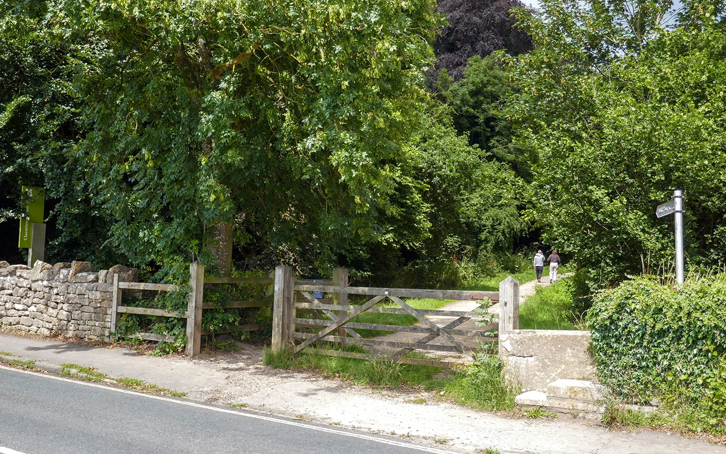
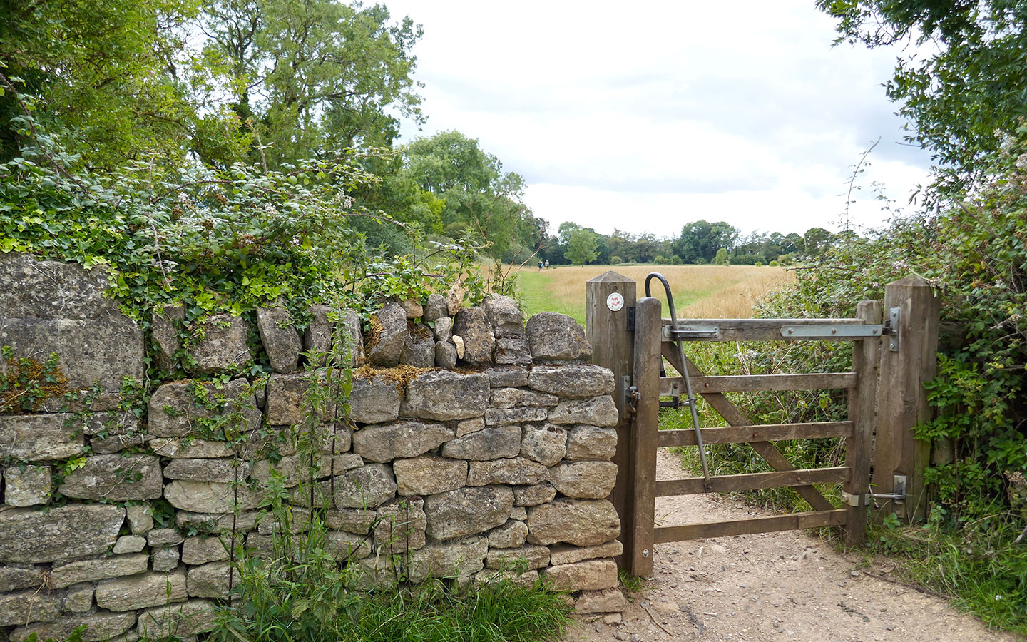
Leave the canal behind you and walk uphill, climbing the steps next to a stone building with a red sign saying ‘Transport Trust Dundas Wharf and Aqueduct’. At the top of the steps, cross over the busy road and go through a metal gate opposite, which is marked with a public footpath sign.
The path climbs steeply uphill along the edge of a field, then goes through a kissing gate and on uphill. It curves to the right just in front of several houses (this area can be wet as there’s a spring here) then passes through a metal kissing gate and runs uphill through the trees.
When you reach a road, go over the stone stile and cross the road, taking the narrow footpath next to a tall stone wall which is marked with a public footpath sign. Go through two kissing gates as you follow the path along the edge of a playing field, walking towards a group of houses.
Once you reach the road, turn left and walk for around 50 metres, then cross over and go through the gate which is next to a green signpost saying ‘Claverton Down National Trust’.

Follow the path straight ahead, ignoring the turn off on the left into the woods. Just before you come to a group of farm buildings, go through the gate on the left signposted ‘National Trust Discovery Trail’ with a red arrow. The path goes through a wooden gate and along the edge of a field.
When you come to a junction where several paths meet, go straight ahead through a metal gate (which has a mini metal gate built in to step through). The path curves to the left, passes through a wooden gate, then splits into three – take the middle one marked ‘Family Discovery Trail’.

At the end of the field, the path joins a stony track. Go straight ahead down the path in front of the houses marked ‘Bath Skyline Walk National Trust’. The path runs downhill through the trees. Then at the bottom it meets a road – turn left then walk downhill for around 50 metres.
Cross the road and go through the gate signposted ‘Smallcombe Vale’, through one kissing gate then another on the left leading into a field with great views over Bath. Head downhill, and when you reach a water trough at end of the field, go through the metal gate on the right and down the steps.

When you come to a track, turn left and follow this until it joins a bigger road – Horseshoe Walk. Turn left and walk along the road until it crosses a small bridge over the canal. Then take the path to the left marked Public Footpath and you’re back on the Kennet and Avon Canal towpath.
Once you reach a main road just past a series of locks, go left over the bridge, then cross the road and follow the path ahead which slopes down to the canal towpath and goes under a bridge.


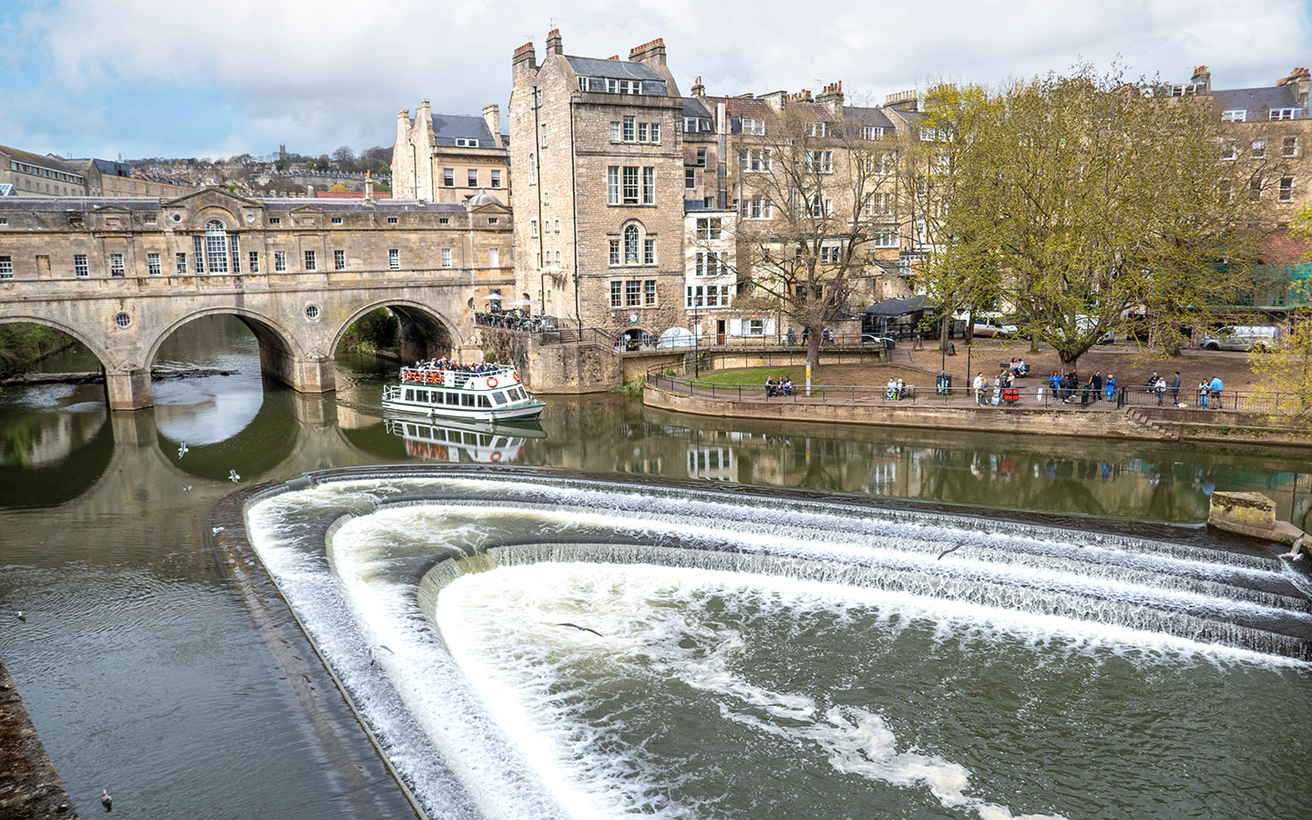
When you get to a stone bridge on your right (which is where the Kennet and Avon Canal meets the River Avon), go straight ahead along the pavement rather than following the canal path.
Cross the green bridge over the river on your right and you’ll emerge at the back of Bath railway station. Go over the zebra crossings ahead of you and through the tunnel marked ‘Footpath to station and city’, then turn left and you will be outside the front of the train station.
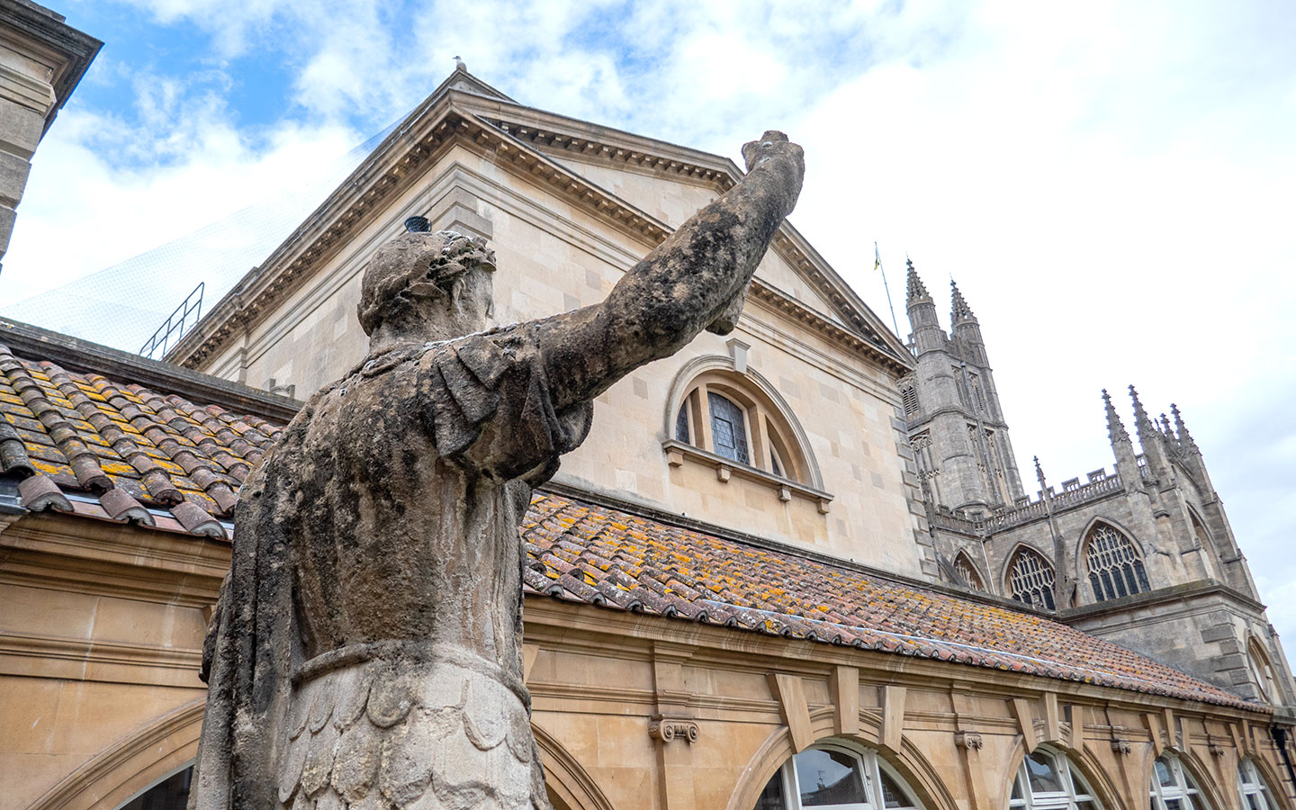
If you want to stop for food or drinks, walk past the station entrance into Brunel Square where there are bars and restaurants including GBK, Nandos and Franco Manca. Or if you want to explore Bath, go straight ahead down Manvers Street towards the Abbey and Roman Baths.

* This site contains affiliate links, where I get a small commission from purchases at no extra cost to you.
Save for later

You might also like