Explore some of the Cotswolds’ lesser-known villages on this 11-mile/17.7km circular Chedworth to Withington walk. Walk through tranquil woodland and nature reserves, follow the route of the River Coln, visit one of the largest Roman villas in Britain and discover two pretty Cotswold villages.
The route starts in the village of Chedworth, and runs through farmland and across a deserted Second World War airfield before heading into Withington Woods, which is carpeted with bluebells during the spring. It then runs downhill through fields to the village of Withington.

From Withington the walk follows the River Coln and runs through Chedworth Nature Reserve before reaching National Trust site Chedworth Roman Villa, known for its well-preserved Roman mosaics. It then carries on across fields and farmland back to the start in Chedworth.
The Chedworth to Withington walk in the Cotswolds takes around 4–5 hours. With some steep sections it’s a moderately difficult walk, following farm tracks, footpaths and country roads, with a couple of places to stop along the way for lunch and plenty of scenic picnic spots.
Chedworth to Withington walk details and map
- Distance: 11 miles/17.7km.
- Time: 4–5 hours.
- Elevation: 860 feet elevation gain.
- Difficulty: Moderate.
- Paths: Farm tracks, dirt and grass footpaths and some country roads. Some parts of the walk can be muddy if it’s been wet, especially the section through a farmyard near the start – look out for the diversion through the farm to miss the worst of it.
- Accessibility: Lots of stiles (some of which you would have to lift dogs over), a bridge and a couple of short, fairly steep up- and downhill sections.
- Map: OL45 The Cotswolds*
- Toilets: There are no public toilets along the route but you can use the toilets at Chedworth Roman Villa when it’s open (check opening hours on their website).
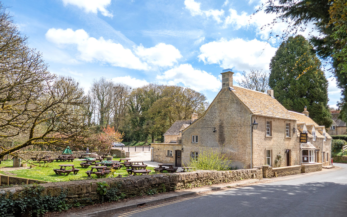
- Facilities: The Mill Inn in Withington is along on the route and serves food (closed Mondays). There’s also a café at Chedworth Roman Villa which sells drinks, snacks and ice creams.
Disclaimer: While we try to keep information up-to-date and accurate, Explore the Cotswolds cannot accept responsibility for errors or omissions. Walks are undertaken at your own risk, and we are not liable for any personal injury, loss or damage that may occur.


Click on the map above to be taken to Wikiloc, a free app where you can download a map and GPS directions for the Chedworth to Withington walk.
Start/finish point
The starting point is St Andrew’s Church in Chedworth (Church Row GL54 4AD). There are a few free parking spaces in front of the church which you can use if there isn’t a service on.
There are no scheduled bus services to Chedworth – or anywhere nearby unfortunately. But Chedworth village is covered by The Robin, the Cotswolds’ bookable bus service. Its South Cotswolds service allows you to pre-book minibus journeys around the area, including to or from Cirencester or Kemble train station. Rides can be requested and booked via their website and cost £3.


Chedworth to Withington walk route
Stage 1: Chedworth to Withington
Start your walk at St Andrew’s Church in Chedworth, the oldest parts of which date back to the 12th century. Walk through the church gate and up the path which runs around the left-hand side of the church. Go uphill through a v-shaped gate and walk diagonally across the field.
Cross the stone stile and follow the track to the right, with a cricket field and pavilion to your right. Just before you reach a road, turn off to the right along a track with a wooden gate at the end which is signposted public footpath. Follow this track onwards through the farmyard.


Note: the farm track can get really muddy if it’s been raining or if animals have recently been moved – if so look out for a sign to the right saying ‘alternative route to avoid mud with permission from farm’ which briefly diverts off the main track to avoid the worst of it.
Climb over a stile and cross the field (if there are cows in the field there may be a section fenced off at the side so you can avoid them). Then carry straight on across two more fields and follow the yellow footpath sign across what were the old runways of RAF Chedworth.

RAF Chedworth opened in 1942 and was a satellite station to RAF Aston Down near Stroud. It was used by the RAF flying training school and the United States Army Air Forces during the Second World War, but went out of use in the 1950s and is abandoned and overgrown now.
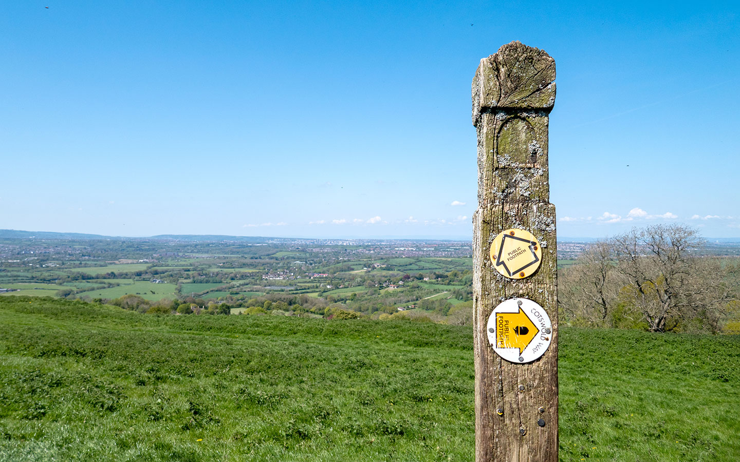
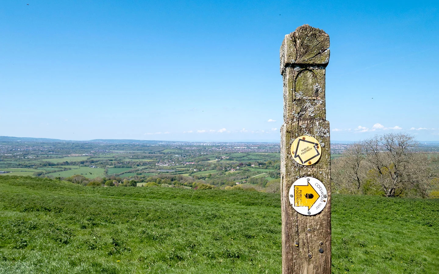
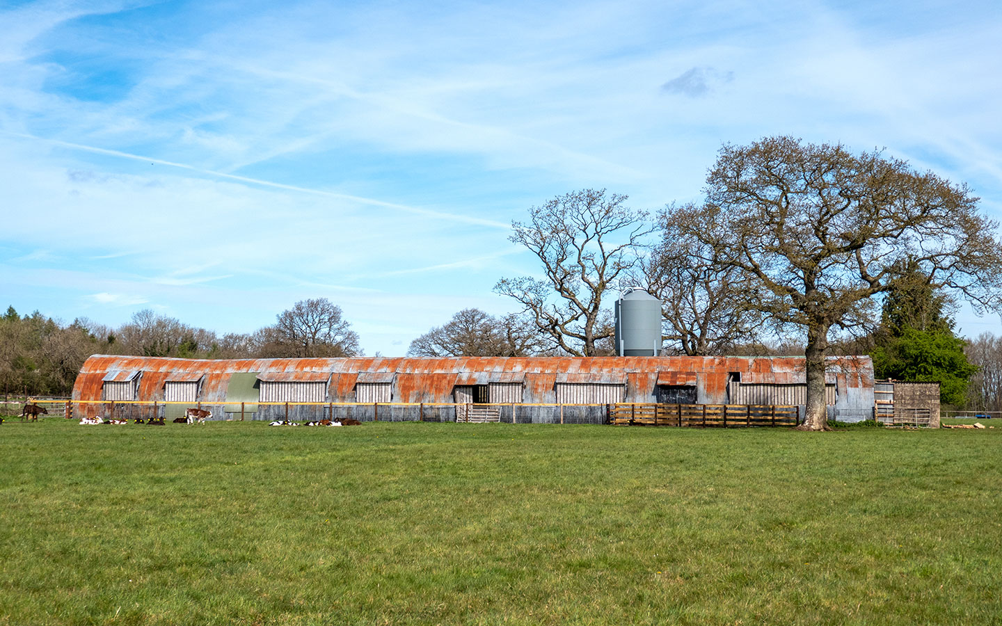
Walk across the field towards a rusty tin hut which has an arched roof. When you reach a small road, turn left. After 150 metres look out for a footpath signpost on your left which points to the right. Follow this path on the right through a gate and along the edge of farmland.


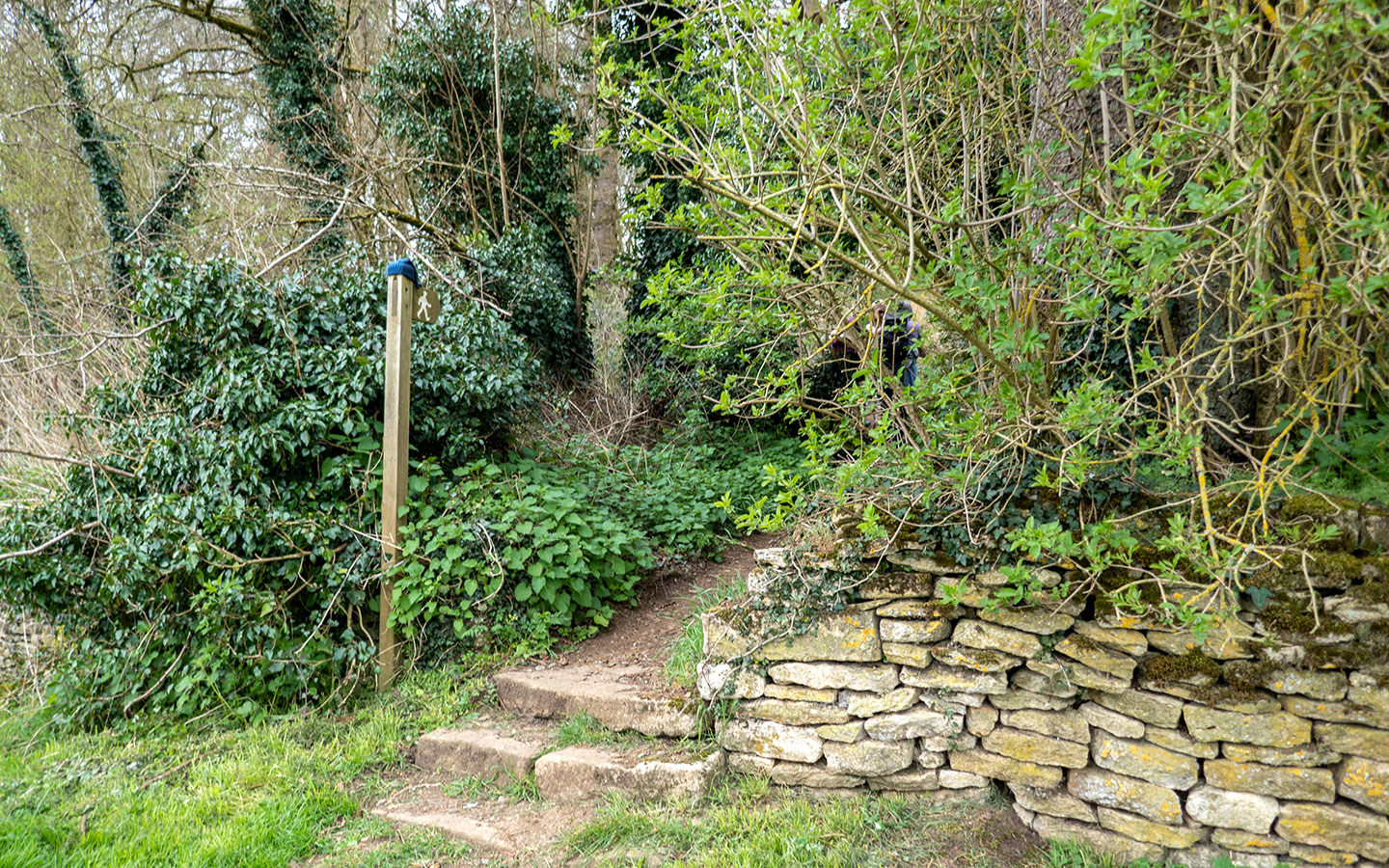
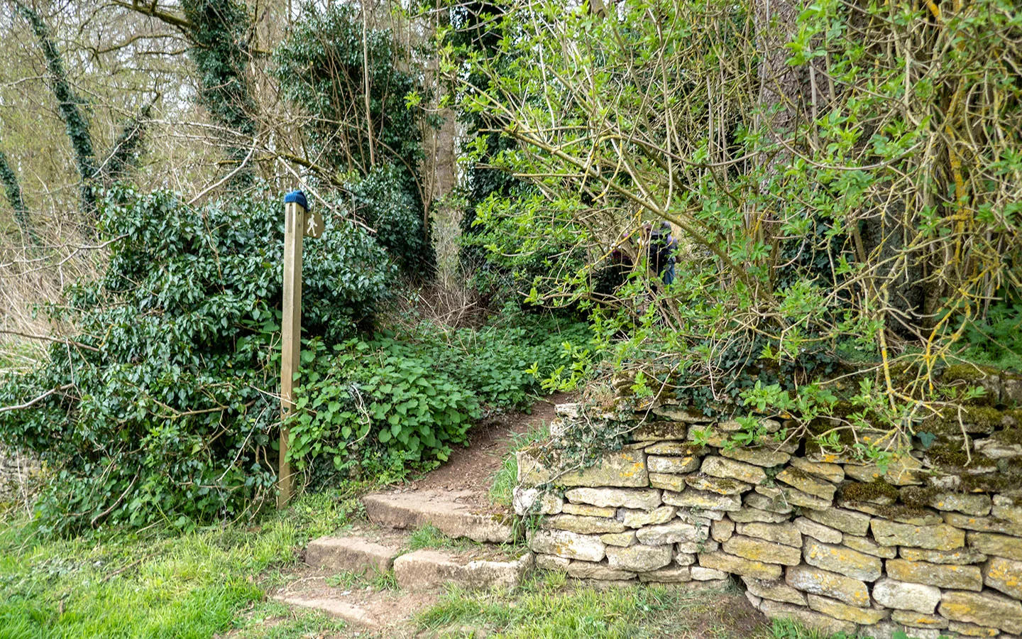
After 100 metres, when you reach a metal gate, turn to the right (there’s a public footpath sign by the gate but it’s a bit hidden away – see picture above) and follow the edge of the field. At the end of the field there’s a wooden post with a public footpath sign pointing straight on – ignore this and turn left through woodland (there’s another sign pointing this way which is hidden to the right).
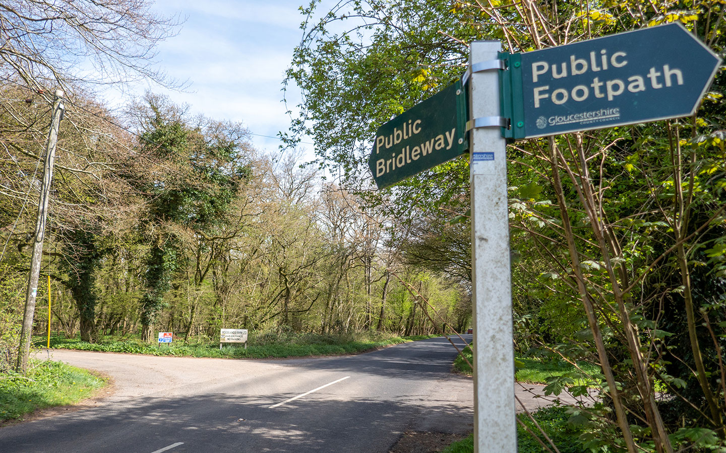
Once you’ve passed through the wood, follow the public footpath sign to the right (there’s a wooden bench where here you can stop for a rest if you need one). Pass a house on your right and cross over the road, following the track marked public bridleway and Woodland Farms Ltd.

Follow this track through Withington Woods – there are bluebells and wild garlic in spring, and you might spot a deer if you’re lucky. After 500 metres there’s a short marked diversion by a house to protect their drainage ditch. Then carry straight on along this path for around 2km.
Once you come out of the woods, look out for a metal gate to the right which is marked with a public footpath sign and takes you through a field with wooden cross-country jumps. Follow the path along the edge of the field and through a wooden gate which takes you into the next field.


Head downhill past more jumps (look out for the jumps on your left which look like miniature houses) – the top of the field is quite steep so stay to the right by the trees where it’s easier to walk down. Then follow the public footpath signs downhill past the pylon towards Withington.
Go through the gate at the bottom of the hill and turn left onto Chedworth Road. Then after 100 metres turn right down Dark Lane (marked unsuitable for HGVs). In another 100 metres the road meets Mill Lane, where you turn right and walk downhill towards The Mill Inn, a Samuel Smith’s pub with a waterside beer garden that’s known for its chicken and chips in a basket.

Stage 2: Withington to Chedworth Roman Villa
Carry on along Mill Lane and opposite the pub car park you’ll see a red phone box with a public footpath sign next to it pointing up some steps. Go up the steps and follow the path to the right. You’ll see a lake to your right as the path follows the River Coln thorough woodland.
Go through the gate saying Riverside Cottage and carry straight on (the path goes through their garden so keep dogs on leads). Keep an eye out for the crocodile in the river – yes you read that right! – then once you reach the cottage follow the public footpath sign to the left.


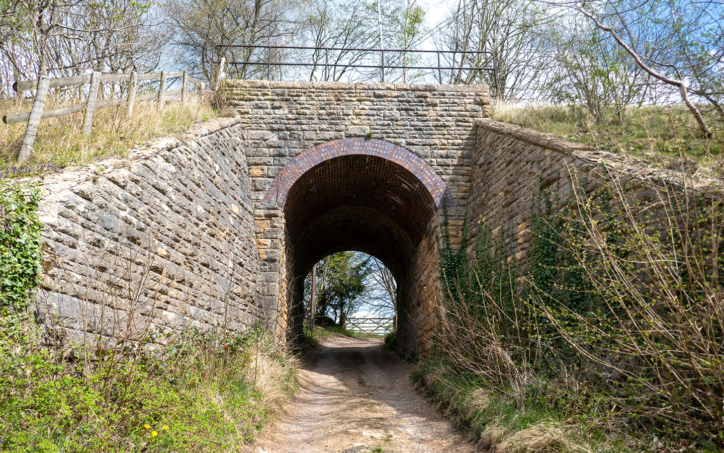
Turn right onto the road in front of a tall brick wall and follow the road for around 500 metres. (It’s quite narrow so you might need to climb onto the bank if cars go past.) Then turn left at the sign for Woodbridge Cottage and go underneath the railway bridge and round to the right.
Just before you reach a house with Private Property signs on the gate, climb over the stile to your left and follow the footpath. Carry straight on along this path through fields, woodland and back into open countryside, following the yellow public footpath signs.

After about 500 metres the path curves sharply to the right in front of a wooden gate. Keep following the signposts over a wooden bridge across the River Coln, then follow the river along the edge of the field until you reach a stile which takes you onto the road.
Just in front of you you’ll see Cassey Compton House, a big Cotswold stone building that’s used as the Compton Gallery and an events venue. Turn right and walk along the road. After 200 metres you’ll come to a junction – take the road to the right marked Chedworth/Cirencester.


Follow the road uphill for around 700 metres then turn left (look out for a public footpath signpost on the other side of the road) and step over the stile into Chedworth Nature Reserve. Follow the path through the nature reserve, up a hill and through a pine forest for around 1.5km.
Note: there were a quite a few trees down after storms last winter which were blocking the path so you might have to divert slightly to get around them, including one which blocks the junction mentioned below, but if you go left around the tree you can cut down to the path below.

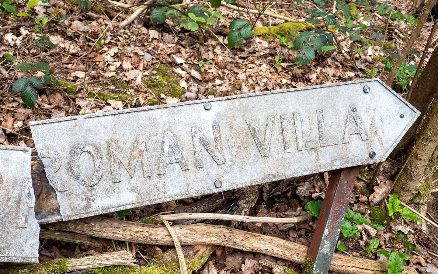
When you reach a four-way junction, take the path to the left (you can see a footpath signpost at the bottom of the hill) and follow the path downhill – look out for a metal sign marked Roman Villa on the ground. Follow the path under the railway bridge to Chedworth Roman Villa.
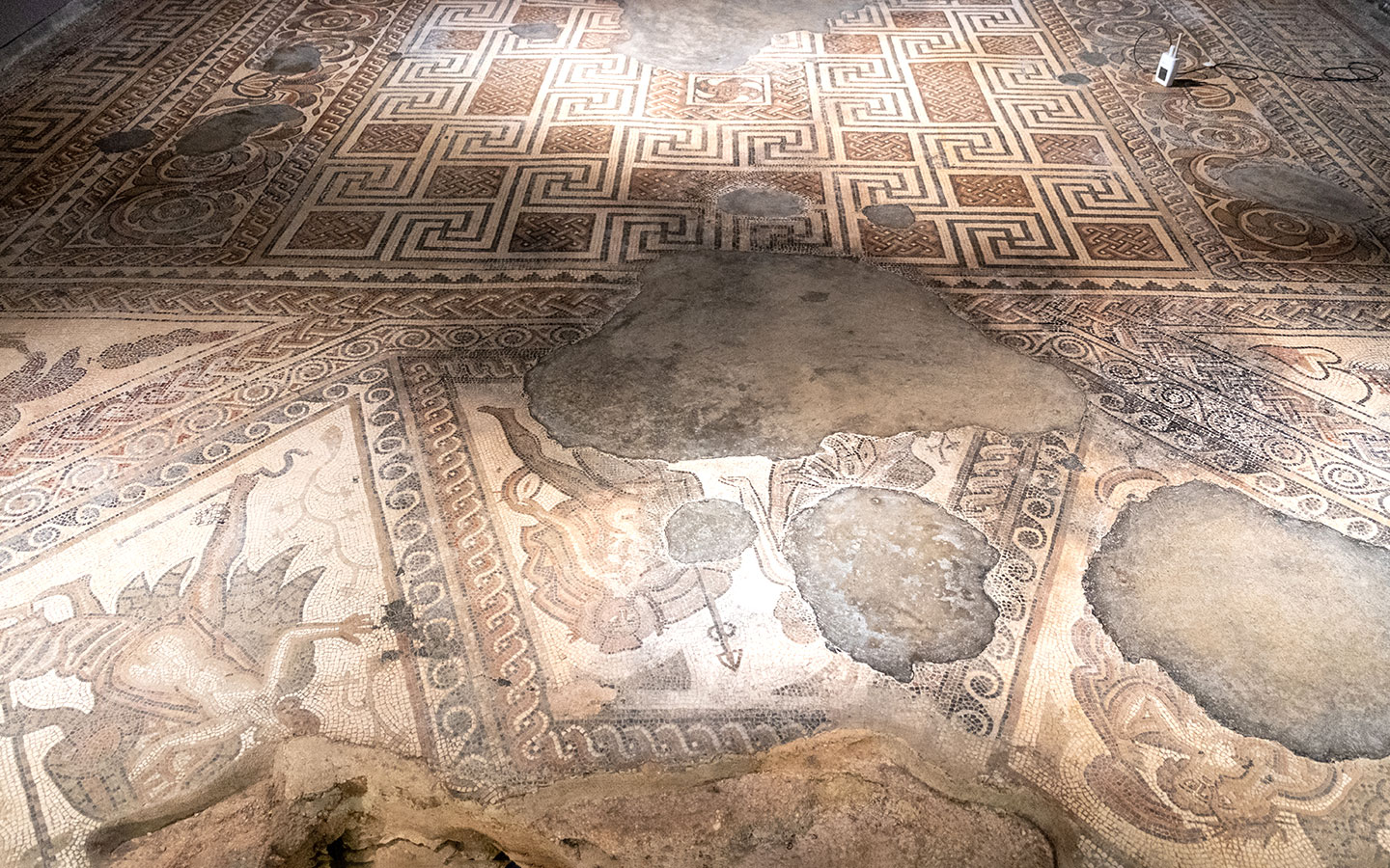
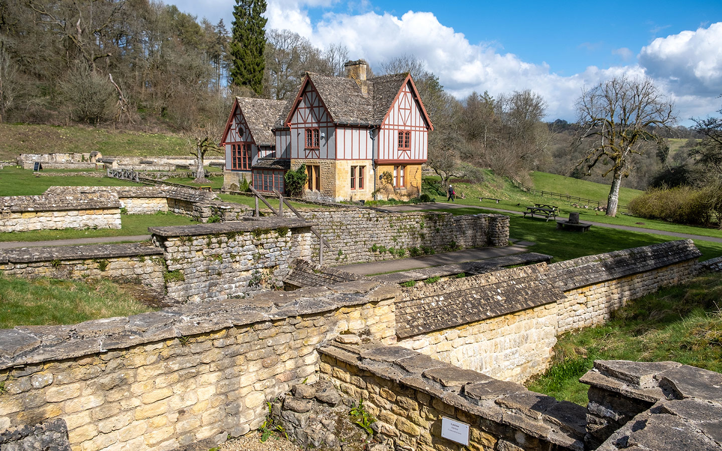
Run by the National Trust, Chedworth Roman Villa is one of the largest Roman villas in Britain. The ornate mosaics, underfloor heating and bath houses show it was owned by a wealthy family in the 4th century. You can visit the ruins and museum, and there’s also a café and toilets.

Stage 3: Chedworth Roman Villa to Chedworth
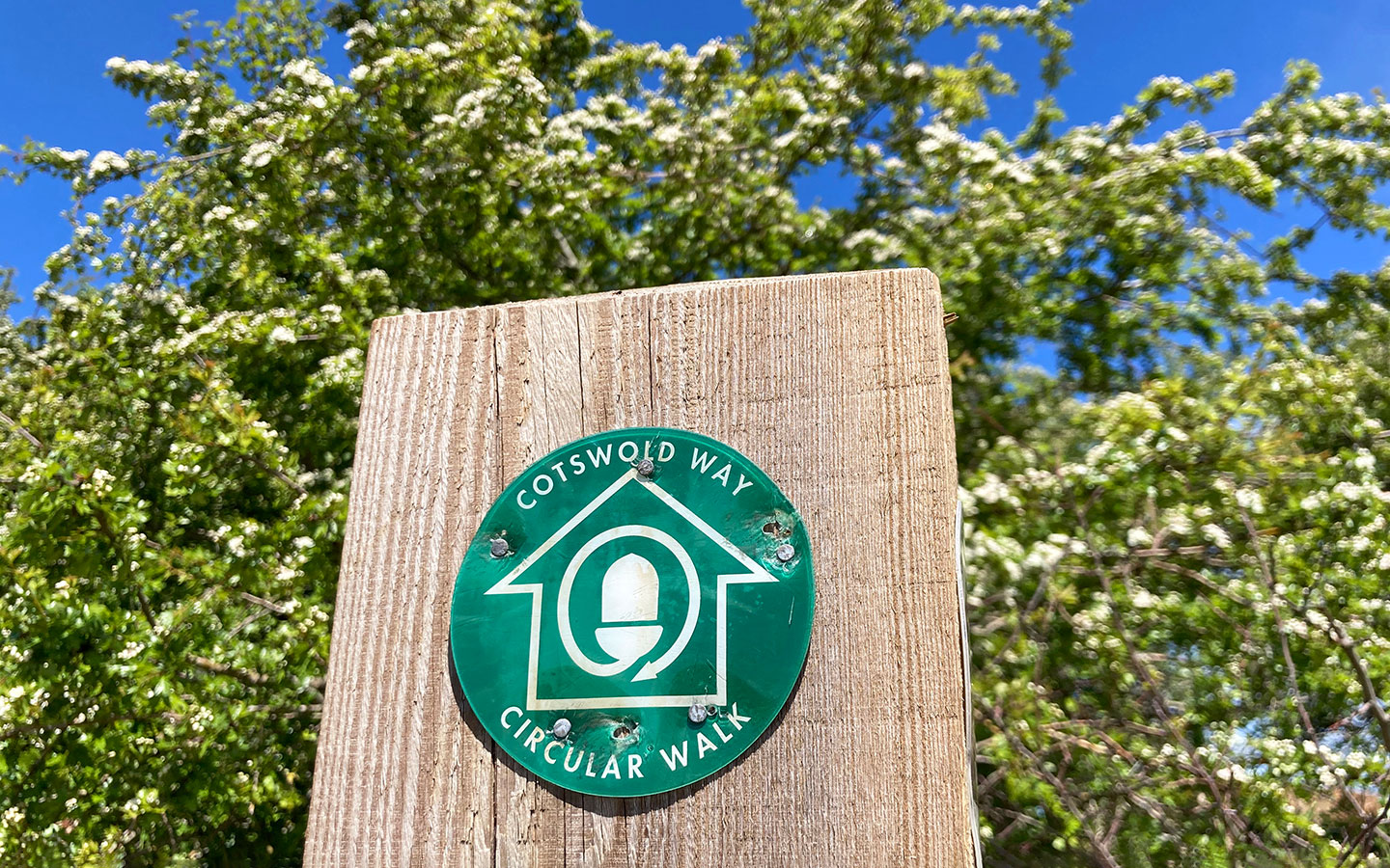
Leaving Chedworth Roman Villa behind, walk down the driveway until you reach the road. Then turn right through the green gates marked Stowell Park Estate and signposted the Monarch’s Way. Follow the road through the estate for around 1.7km as it runs alongside the River Coln.
When you reach the end of the estate, you go through a similar green gate onto the main road. Turn down the road to the right and walk past the stone house, then take the footpath to the right, which starts with stone steps and is marked with a wooden signpost.
Follow this path uphill into Chedworth Woods, then carry on along the same path for around 1.2km. When it splits in two at a wooden footpath sign, take the left-hand path which runs downhill where it merges onto a well-made, new-looking stone path.
Continue along this path for around 600 metres until it peters out on the edge of a field. Carry straight on across the grass – look for a wooden post at the top of the hill to aim for – and keep following the public footpath signs through the field (which is full of yellow rapeseed in spring).


You’ll see a tree in the middle of the field. When you reach it turn off to the right following the public footpath sign to the end of the field and through a stone wall into the next field. The path splits in two either side of the hedge – take the right path marked with a public footpath sign.
Go through the wooden gate and carry straight on. After 300 metres the path splits into three – take the path to the left, and go through a gate marked with a blue public bridleway sign on your right (rather than the bigger path on the left with a Monarch’s Way sign).


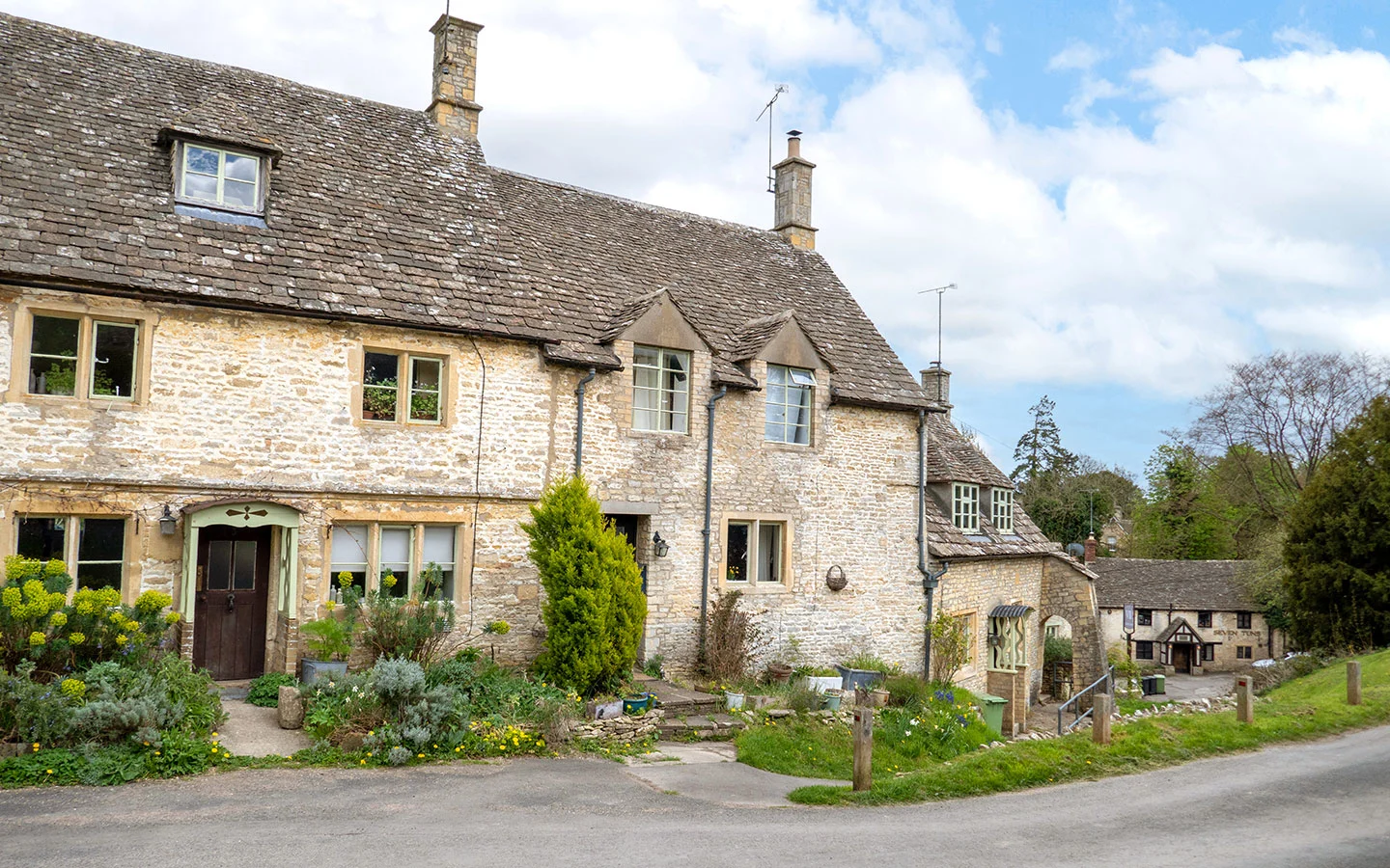
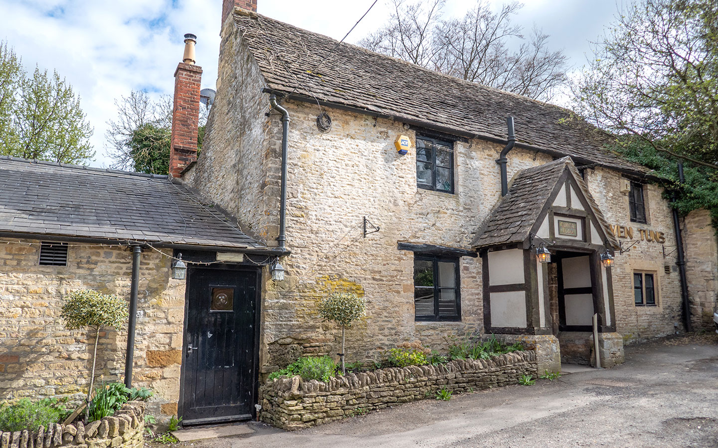
You can see Chedworth in the valley to your right. When the path meets the road, go right downhill into the village past some pretty Cotswold stone cottages. After 500 metres you’ll reach the Seven Tuns, a former 17th-century pub which is unfortunately closed at present.
And just opposite the pub, before a small waterfall, a curving path (marked the ‘Rog Harris path’ after a local resident) takes you back to the church to finish the Chedworth to Withington walk.

* This site contains affiliate links, where I get a small commission from purchases at no extra cost to you.
Save for later


You might also like