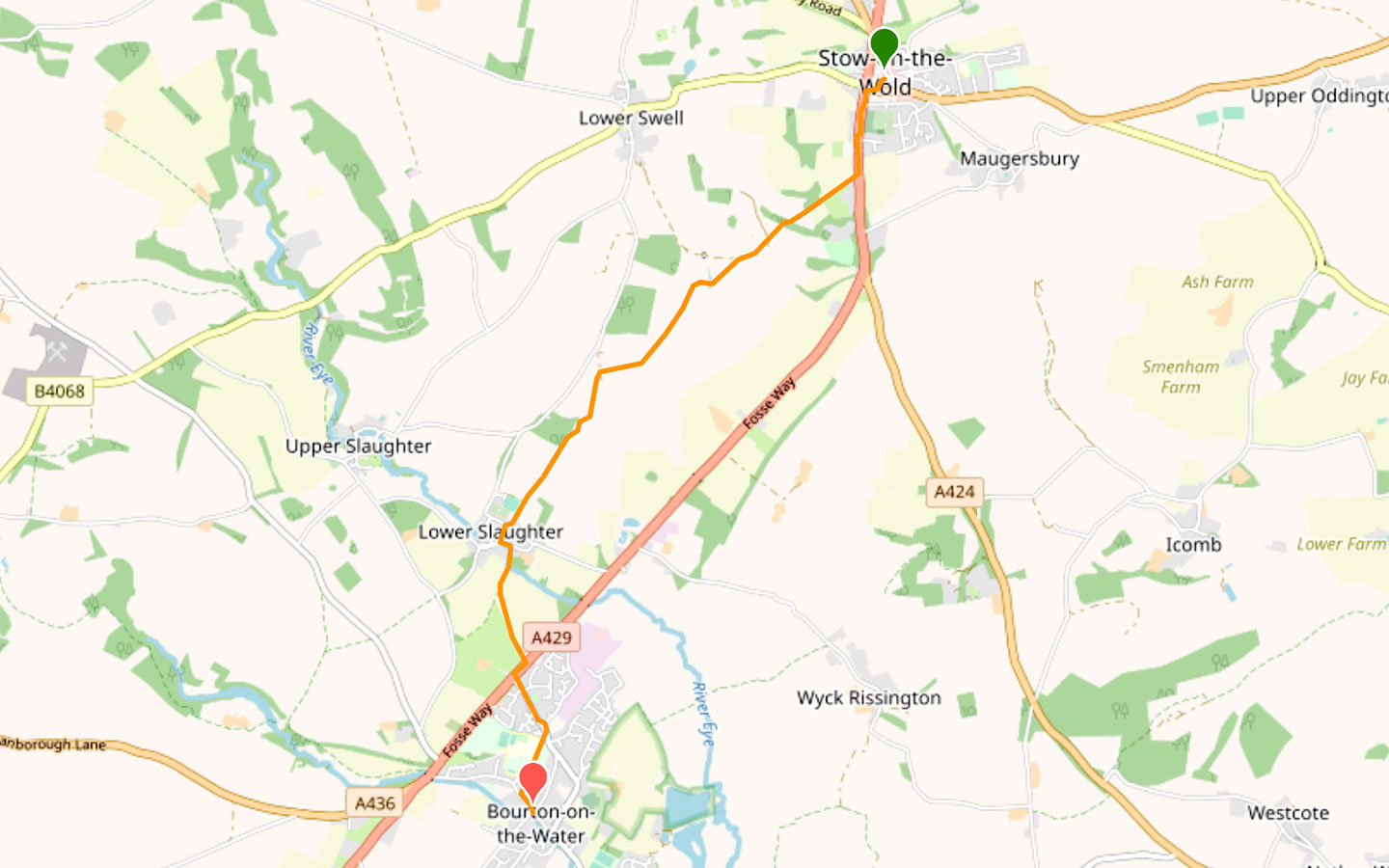
Visit three of the Cotswolds’ best-known and most picturesque towns and villages – Stow-on-the-Wold, Lower Slaughter and Bourton-on-the-Water – on this Stow-on-the-Wold to Bourton-on-the-Water walk in the Cotswolds, a gentle route which is 4.2 miles/6.7km one way.
The walk starts in the historic hilltop town of Stow-on-the-Wold, following a short stretch of the Fosse Way Roman road before turning off into quiet farmland, running past Netherswell Manor Farm and across the River Dikler on its way to the unspoilt village of Lower Slaughter.

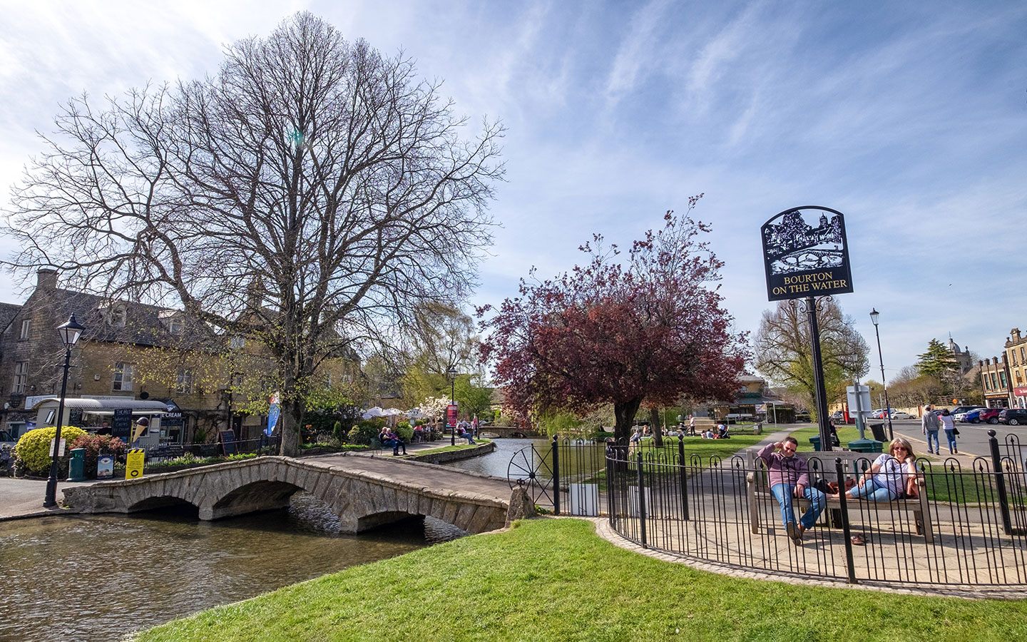
From there it follows the River Eye and travels across fields to Bourton-on-the-Water, where you can visit the Model Village and Cotswold Motoring Museum or paddle in the River Windrush. The Stow-on-the-Wold to Bourton-on-the-Water walk takes around 1.5–2 hours to complete and is fairly flat and easy to navigate, with a couple of good places to eat and drink along the way.
The route is one way, but you can easily get back to Stow-on-the-Wold at the end using the local buses. Or if you’d like a longer walk, you can add on a return route to Stow which goes via Wyck Rissington and Icomb to make it a 10.3-mile/16.6km walk in total (see details below).

Stow-on-the-Wold to Bourton-on-the-Water walk details and map
- Distance: 4.2 miles/6.7km.
- Time: 1.5–2 hours.
- Elevation: 49 feet elevation gain.
- Difficulty: Easy.
- Paths: Grass and dirt paths, pavements in villages and a short stretch along the busy A429.
- Accessibility: One bridge stile and several kissing gates.
- Map: OL45 The Cotswolds*
- Toilets: Public toilets in Stow-on-the-Wold just off the Market Square (GL54 1AB) and in Maugersbury Road Car Park (GL54 1HH), and in Bourton-on-the-Water on the corner of the High Street and Rectory Lane (GL54 2AX) – all of which charge 40p. None along the route.
- Facilities: There are plenty of shops, cafés and pubs in both Stow and Bourton, as well as the Slaughters Country Inn and Slaughters Manor House in Lower Slaughter.
Disclaimer: While we try to keep information up-to-date and accurate, Explore the Cotswolds cannot accept responsibility for errors or omissions. Walks are undertaken at your own risk, and we are not liable for any personal injury, loss or damage that may occur.
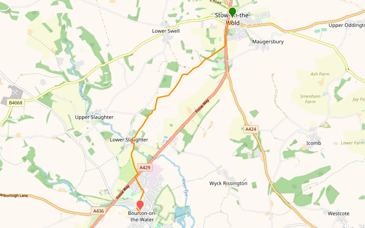
Click on the map above to be taken to Wikiloc, a free app where you can download a map and GPS directions for the Stow-on-the-Wold to Bourton-on-the-Water walk.
Starting point
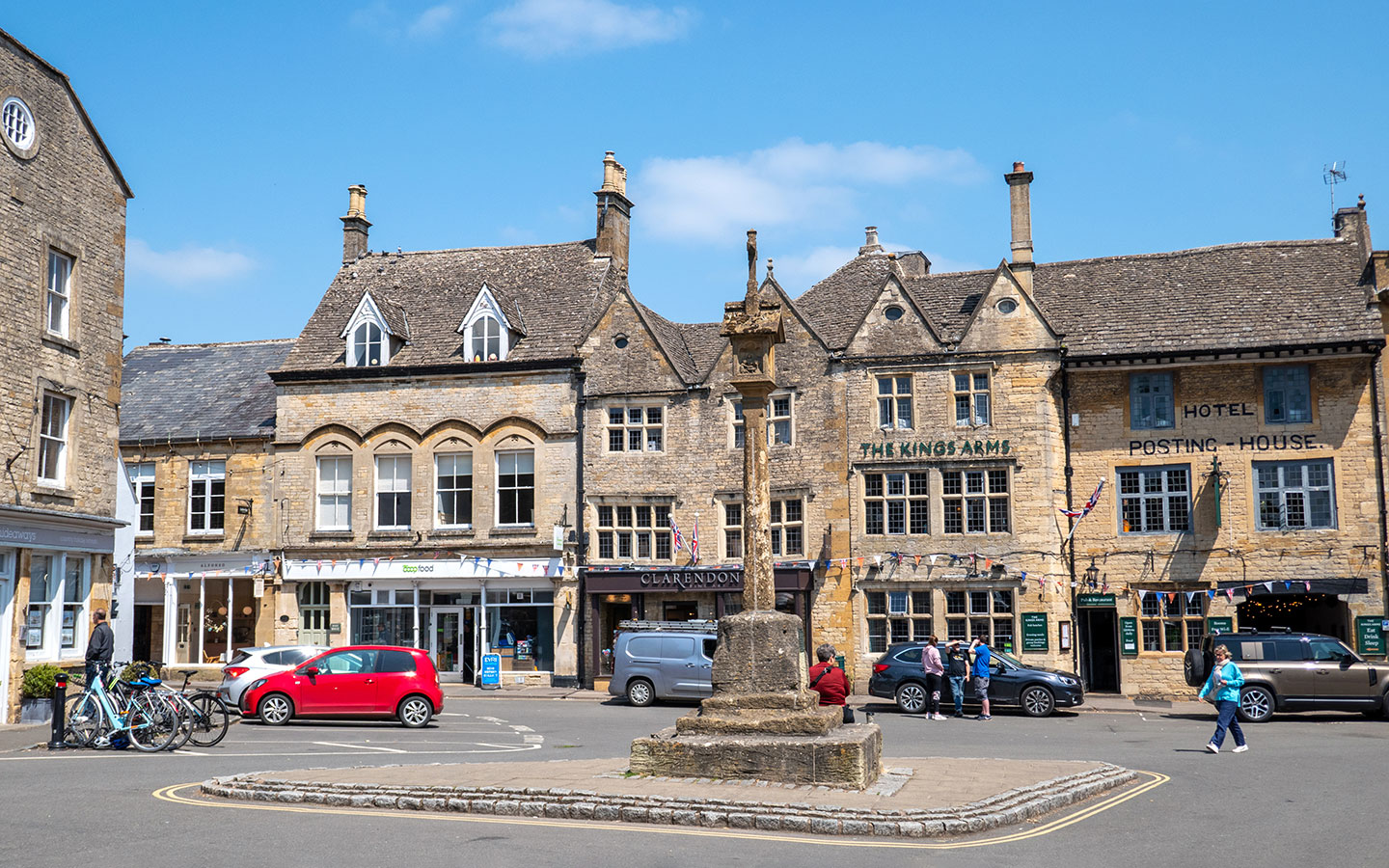
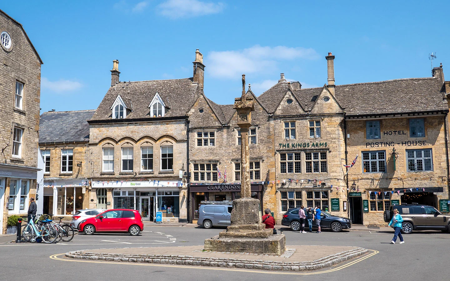
The starting point for the Stow-on-the-Wold to Bourton-on-the-Water walk is Stow’s Market Square, on the corner of Church Street outside the shop ‘Scotts of Stow Across the Square’.
If you’re travelling by car, there’s parking in the Market Square, though it gets very busy and is limited to two hours. There are more spaces at the free Fossway Car Park (GL54 1BX) next to Tesco north of town plus a pay and display car park on Maugersbury Road (GL54 1HH).
If you’re travelling by public transport, Stow-on-the-Wold’s nearest train station is in Moreton-in-Marsh. From there the Pulhams 801 bus (daily) runs to Stow around once an hour, taking 15 minutes. The nearest bus stop to the start of the walk is Stow-on-the-Wold Library.
Finishing point
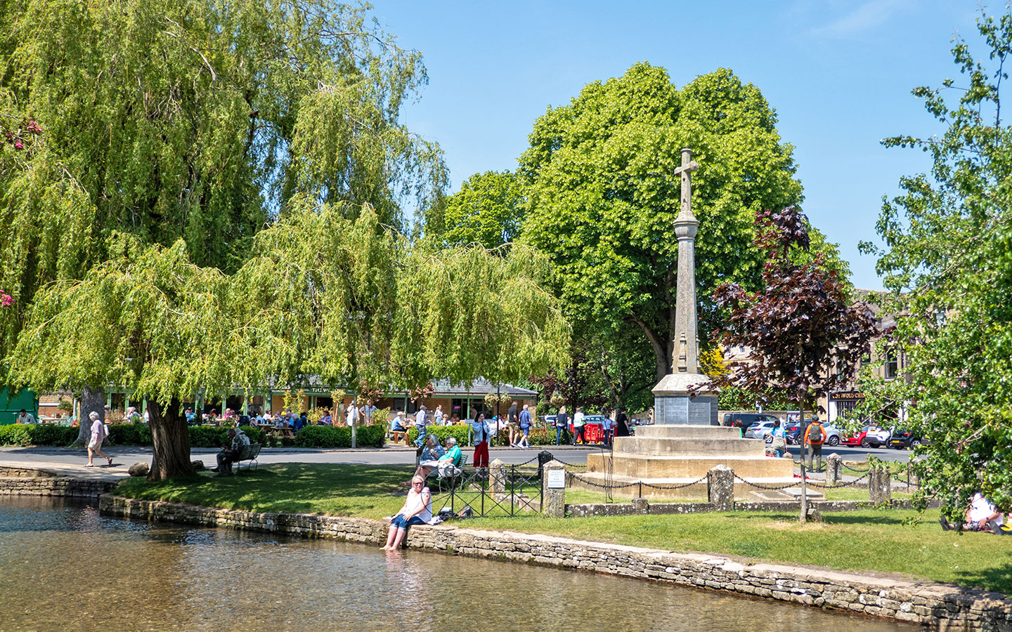
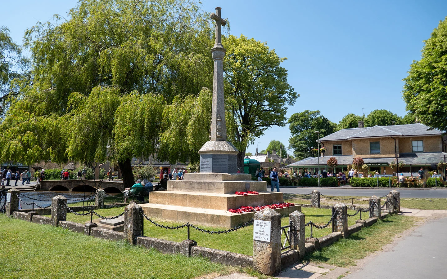
The finishing point for the walk is next to Bourton-on-the-Water’s war memorial. To get back to Stow-on-the-Wold, you can take the Pulhams 801 bus which departs from next to the public toilets on the corner of the High Street and Rectory Lane, near the Edinburgh Woollen Mill.
The journey only takes around 15 minutes and there are departures around once an hour. The 801 also continues on to Moreton-in-Marsh (25 minutes from Bourton) if you want to catch a train.

Stow-on-the-Wold to Bourton-on-the-Water walk route
Stage 1: Stow-on-the-Wold to Lower Slaughter
Start your walk in Stow-on-the-Wold’s Market Square, and with the market cross behind you, head down Church Street past St Edward’s Church. When you reach Sheep Street, turn right and cross over the road (which can be busy). Carry on until you reach the road junction then turn left, signposted Cirencester, Cheltenham, Swindon, Bourton, Northleach and Burford.
Walk down the A429 – also known as the Fosse Way as it was originally a Roman Road connecting Exeter and Lincoln – for around 350 metres. Cross the road (there’s an island in the middle of the road at the end of the graveyard to make it easier). Then turn off to the right when you see a side road marked with Public Footpath/Gloucestershire Way and Monarch’s Way signs.


Follow the path straight ahead as it turns into a gravel track. The path goes through a wooden gate and curves round to the right as it goes downhill through woodland, then passes through another gate and heads downhill across fields towards a group of farm buildings.
At the end of the field you pass through several gates as you walk through Netherswell Manor Farm and the Unicorn Equestrian Centre – carry straight on past stables, barns and cottages following the Public Footpath/Monarch’s Way signs (any dogs must be kept on leads).

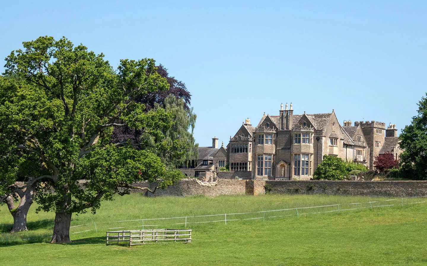
After passing a wooden stable block, the path goes through a gap in the fence ahead which is marked with a red arrow. On the left you can see the equestrian centre and on the right there is a good view of Netherswell Manor house, which has been converted into luxury apartments.
Go down the steps and through a white gate, walking across the field ahead towards several houses. At the other end of the field, pass through two more white gates and walk over the bridge across the River Dikler, which will eventually join the River Windrush near Bourton.

Just past the houses you’ll see a fingerpost pointing in various directions. Take the path straight ahead which is signposted Public Footpath/Lower Slaughter 1½ miles. When you reach a small bridge and the path splits, follow the fork to the left marked with a wooden signpost.
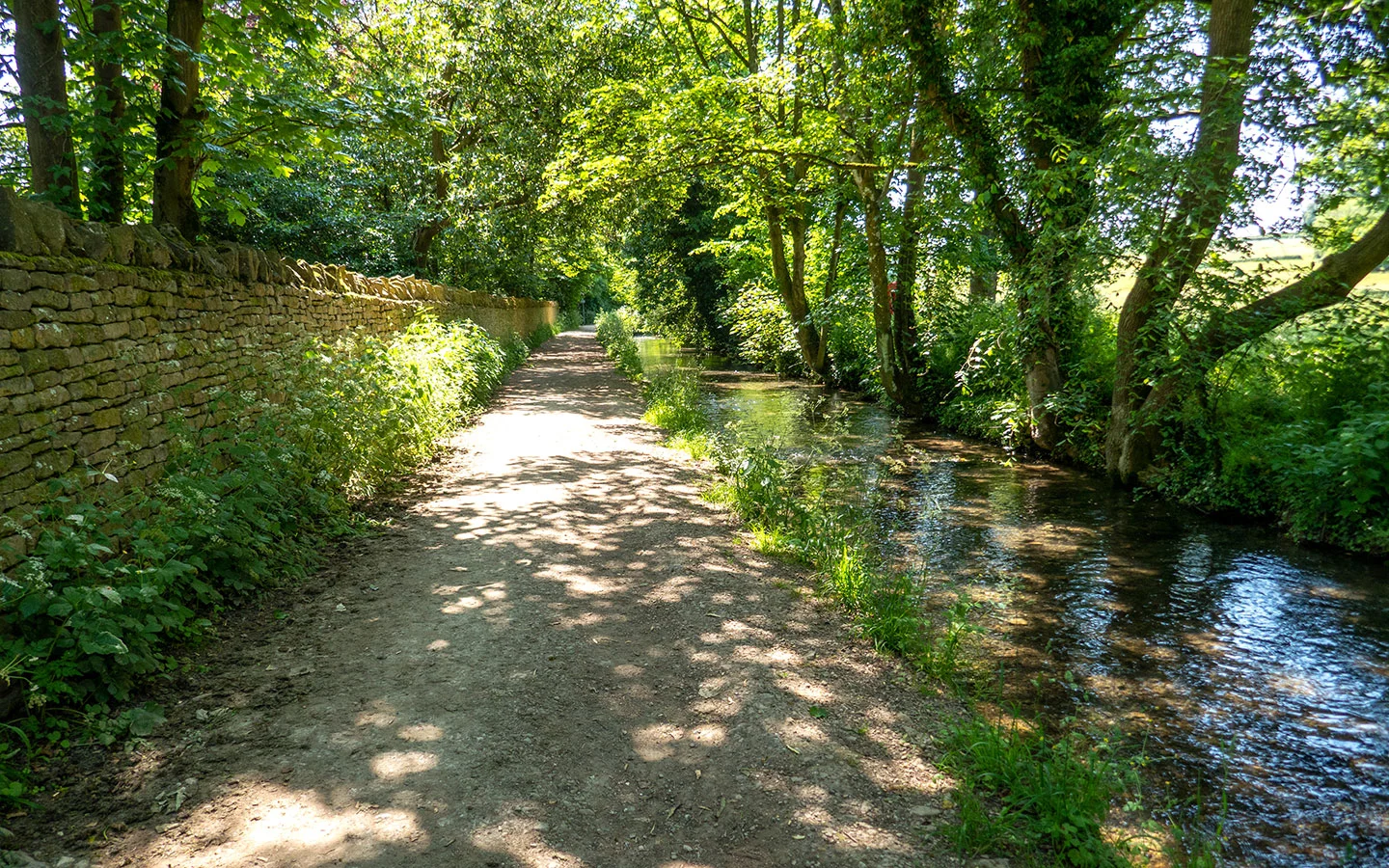
The path goes straight on through a gate with stream running next to it and across several fields, following the Monarch’s Way markers. Just after passing some farm buildings on your right, the path goes through a kissing gate, across a track then through another gate.

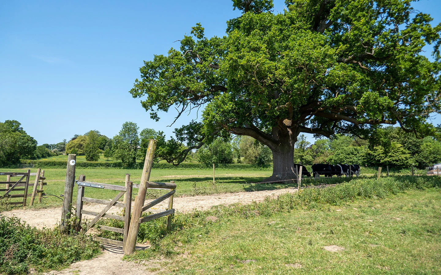
After the second gate, you’ll see a metal gate to your left. Go through the gate (it may be locked but there’s a v-notch stile to the right you can step though) and walk straight ahead. The path goes through a gap in the hedge and around the edge of next field. Then you’ll see another gap in the hedge ahead – but this is usually fenced off so take the bridge stile on your left instead.
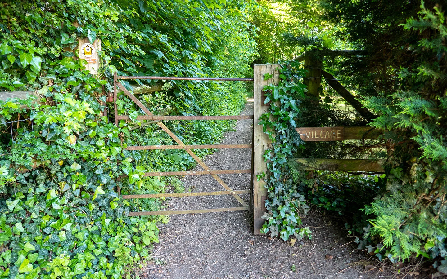
Follow the path as it runs along the edge of the field. Towards the end of the field, it passes through a gap on the right just before a metal gate then carries along the next field. Go through a kissing gate and walk past the cricket pitch and pavilion, then through a metal gate marked ‘Village’.

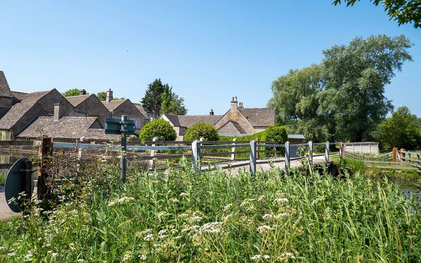
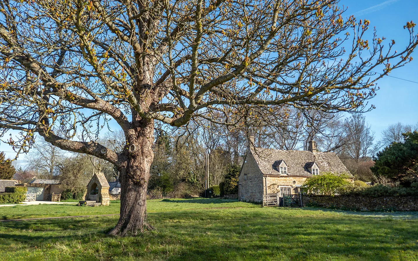
A narrow path runs through the trees before emerging onto a gravel road next to some houses. Follow the public footpath sign to the right until you reach the main road then go left into Lower Slaughter, passing St Mary’s Church which was originally built in the 13th century.
When you reach the end of the road you’re in the centre of the village. Ahead of you is the Slaughters Country Inn and to your left is the Slaughters Manor House hotel and restaurant. And if you go right you can follow the River Eye towards the Old Mill past some beautiful Cotswold cottages.
At this point, you can also add a short diversion to the nearby village of Upper Slaughter. The path is a mile each way and starts just behind the Old Mill, running along the River Eye then across fields into Upper Slaughter, where you can visit the Lords of the Manor Hotel (which serves lunch and drinks) and St Peter’s Church.


Stage 2: Lower Slaughter to Bourton-on-the-Water
When you’re ready to carry on, follow Copsehill Road – once voted the most romantic street in Britain – along the River Eye. At the corner there’s a signpost where the path splits. Stay to the right signposted Bourton, Warden’s Way and Monarch’s Way, following the river.
When the river veers off to the left, stay on the main path straight on. As you pass through a gateway you’ll see another signpost – carry straight on following the Bourton/Warden’s Way signs. Then when you get towards the main road and the path splits either side of a fence, stay left.

Once you reach the A429, turn right and walk along the road to the crossing – you pass the entrance to the Hawkstone Brewery who make their own beer and cider and have a brewery bar which is open every day in the afternoon and early evening if you want to call in for a drink.
Cross over the A429 then walk along Station Road into Bourton-on-the-Water. Just after passing Meadow Way, cross the road at the pedestrian crossing and follow the path ahead marked with a Public Footpath/Warden’s Way sign which runs past the Cotswold School.

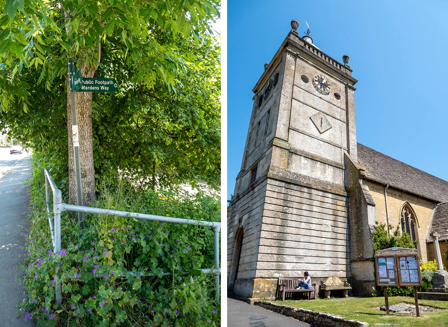
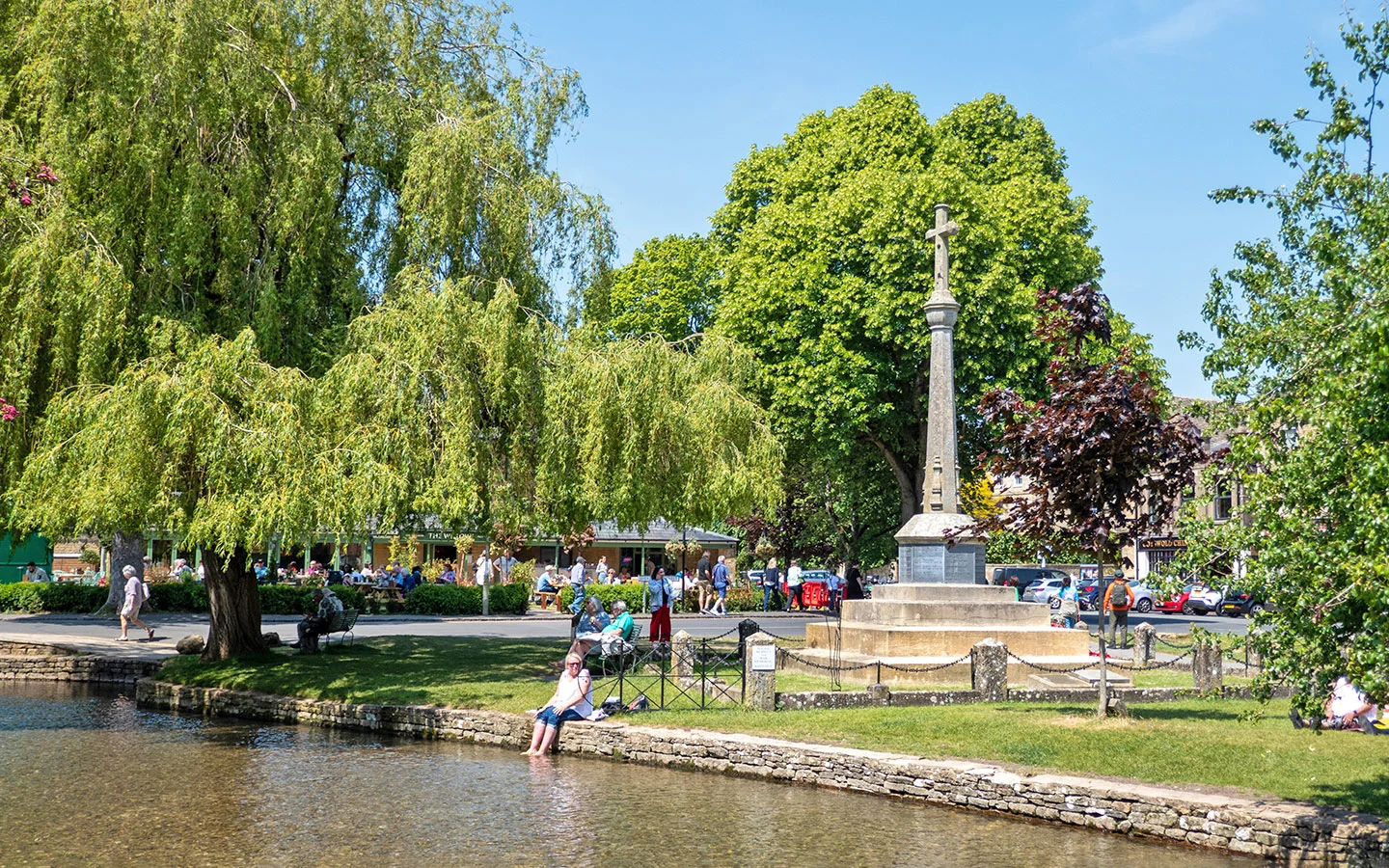
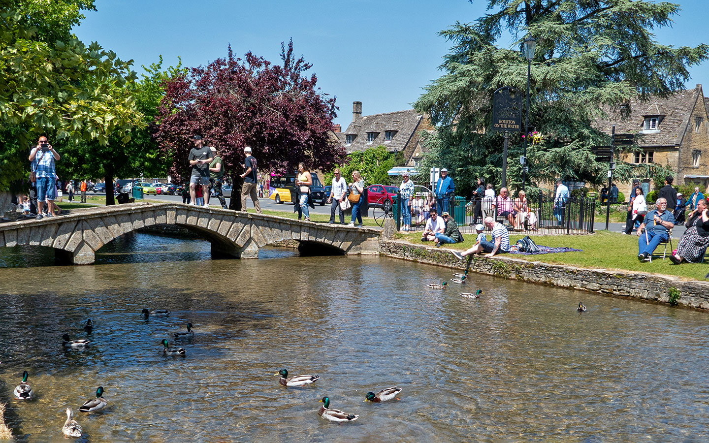
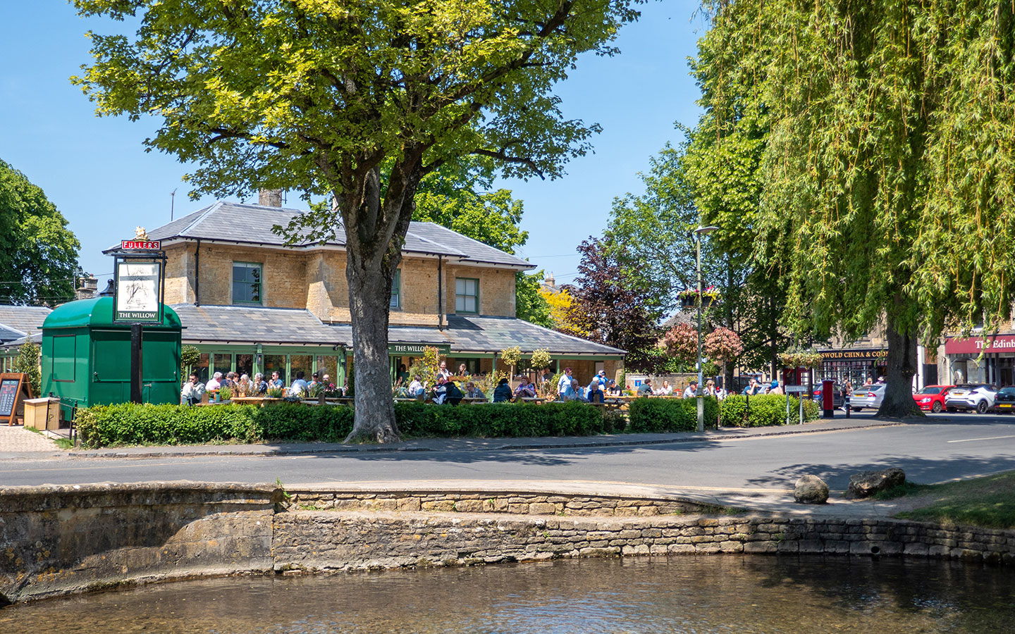
The path runs past St Lawrence’s Church and emerges onto the High Street. Turn left and you’ll see Bourton’s war memorial, the finishing point for the walk. The Willow and The Old Manse pubs are right next to it, and there are lots of other cafés, restaurants and pubs in Bourton.

Extending your walk
If you want to extend your walk back to Stow-on-the-Wold and don’t want to retrace your steps, you could add on a 6.1-mile/9.8km route to Stow via Wyck Rissington and Icomb (2.5–3 hours).
After following the start of our Bourton-on-the-Water to Wyck Rissington walk along the Oxfordshire Way through Greystones Nature Reserve to Wyck Rissington, you join the Diamond Way to Icomb. Then follow a small road north to Maugersbury and on into Stow-on-the-Wold.
* This site contains affiliate links, where I get a small commission from purchases at no extra cost to you.
Save for later


You might also like