Head out into the peaceful countryside east of Bourton on this 4.6-mile/7.4km Bourton-on-the-Water to Wyck Rissington walk. Walk through nature reserves and water meadows, and across two of the smallest rivers in the Cotswolds to a charming village with 17th-century stone houses, a village green and a church where the composer Gustav Holst was once the organist.
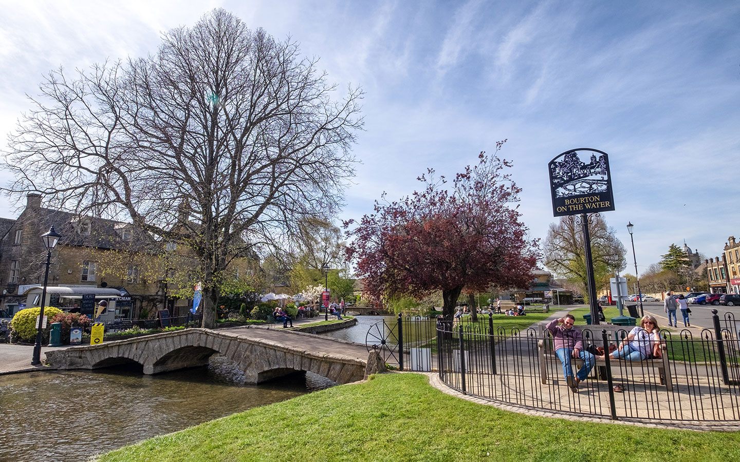
The route starts in the village of Bourton-on-the-Water on the banks of the River Windrush. Bourton is one of the most popular destinations in the Cotswolds and can be packed in summer, so if you fancy escaping the crowds then this two-hour walk is the perfect way to do it.
The walk heads east through the Greystones Farm Nature Reserve and Salmonsbury Meadows, crossing the River Eye and River Dikler on the way to the village of Wyck Rissington – the smallest of the four Rissington villages (after Great, Little and Upper). You then head across farmland towards Rissington Mill before looping back towards Bourton along the edge of a lake.
The Bourton-on-the-Water to Wyck Rissington walk takes around two hours. It’s an easy route following flat paths and quiet country roads, incorporating part of the Oxfordshire Way.
Bourton-on-the-Water to Wyck Rissington walk details and map
- Distance: 4.6 miles/7.4km.
- Time: 2 hours.
- Elevation: 89 feet elevation gain.
- Difficulty: Easy.
- Paths: Mainly flat grass and dirt paths (which can be muddy if it’s been wet), pavements in Bourton and a stretch of quiet country road through Wyck Rissington.
- Accessibility: One bridge stile and several bridges.
- Map: OL45 The Cotswolds*
- Toilets: Public toilets in Bourton-on-the-Water at the Church Rooms (on the corner of the High Street and Rectory Lane, GL54 2AX) and on Rissington Road (GL54 2DR), both of which charge 40p. There are also toilets at Greystones Farm Nature Reserve when the café is open.
- Facilities: Café at Greystones Farm Nature Reserve from May to September (check opening hours on their website). Lots of shops, cafés and pubs in Bourton.
Disclaimer: While we try to keep information up-to-date and accurate, Explore the Cotswolds cannot accept responsibility for errors or omissions. Walks are undertaken at your own risk, and we are not liable for any personal injury, loss or damage that may occur.

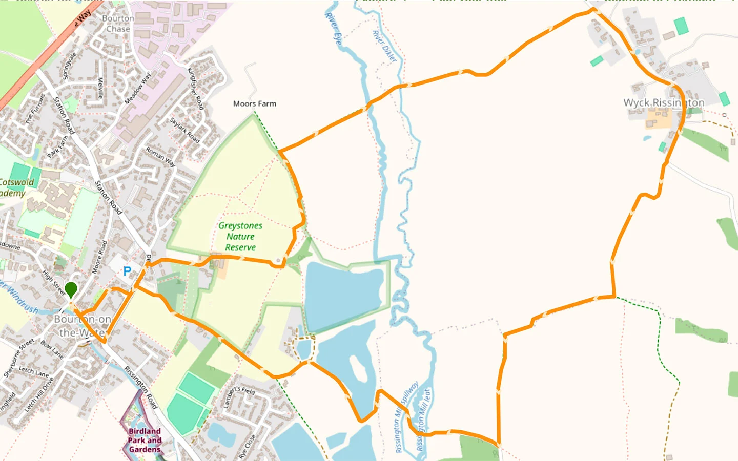
Click on the map above to be taken to Wikiloc, a free app where you can download a map and GPS directions for the Bourton-on-the-Water to Wyck Rissington walk.
Start/finish point
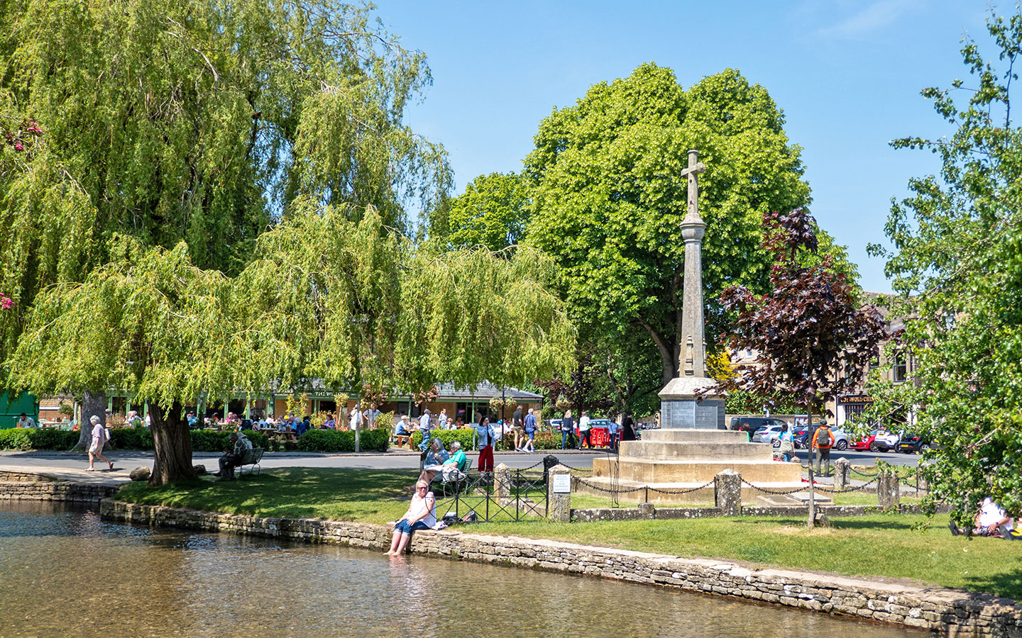
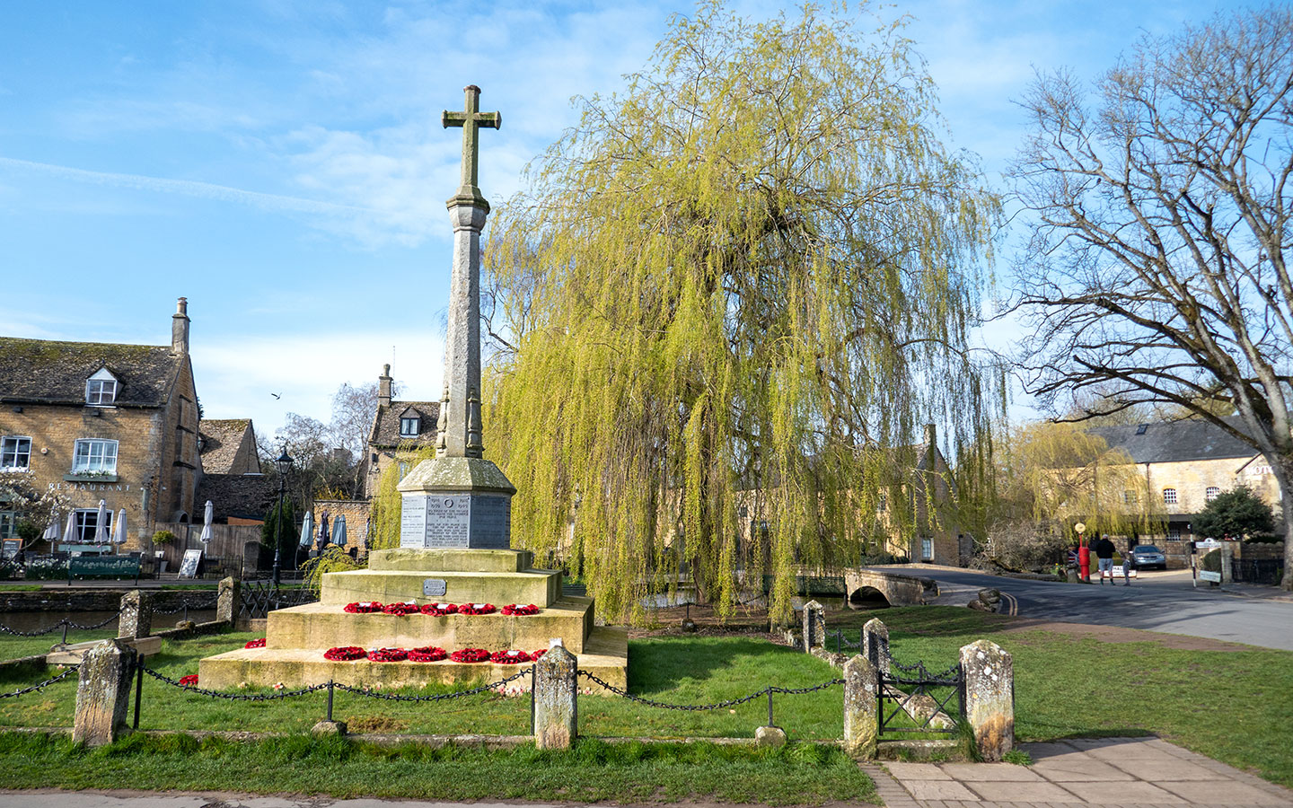
The starting point is Bourton-on-the-Water’s war memorial, on the corner of the High Street and Sherbourne Street near the motor museum. If you’re travelling by car, there’s paid parking at Bourton Vale Car Park (GL54 2LU), a couple of minutes away – £5 for three hours. Beware that Bourton gets hugely busy in summer though so it’s a good idea to get there early.
If you’re travelling by public transport, the nearest train station is in Moreton-in-Marsh. From there the Pulhams 801 bus (daily) runs to Bourton around once an hour, taking 30 minutes. The nearest bus stop to the start of the walk is Bourton Newsagent. The Pulhams 801 also connects Bourton to Cheltenham and Stow-on-the-Wold.

Bourton-on-the-Water to Wyck Rissington walk route
Stage 1: Bourton-on-the-Water to Wyck Rissington
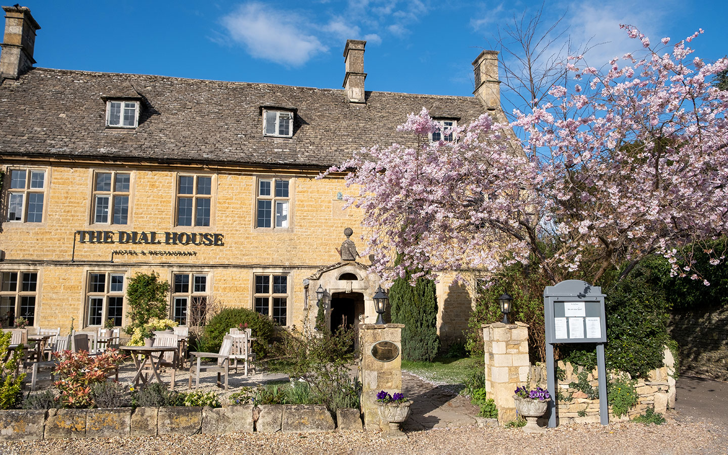
Start your walk at the Bourton-on-the-Water war memorial and walk down the High Street, following the River Windrush. Once you reach the first bridge, cross over the road and follow the signposts for the Oxfordshire Way and Monarch’s Way, which take you around the right-hand side of the Dial House Hotel and Restaurant. Then bear right onto Station Road.
Cross the road and walk up past the Coop petrol station, turning off down the road on the right which is signposted Cemetery and Greystones Nature Reserve, then taking Greystones Lane on the left. Once you get to the end of the road, turn right into Greystones Farm.

Greystones Farm Nature Reserve lies on the site of a Neolithic earthwork enclosure and Iron Age fort. It’s now run by the Gloucestershire Wildlife Trust and is a habitat for wildlife and wildflowers as well as being a working organic farm with an interactive Discovery Barn and café.
Go through the gate and straight through the farm, past the cow barns and along the path ahead. Keep an eye out for the plaques on the fence which tell you about the history of farming right back to the Bronze Age, going further back in time as you walk away from the farm.
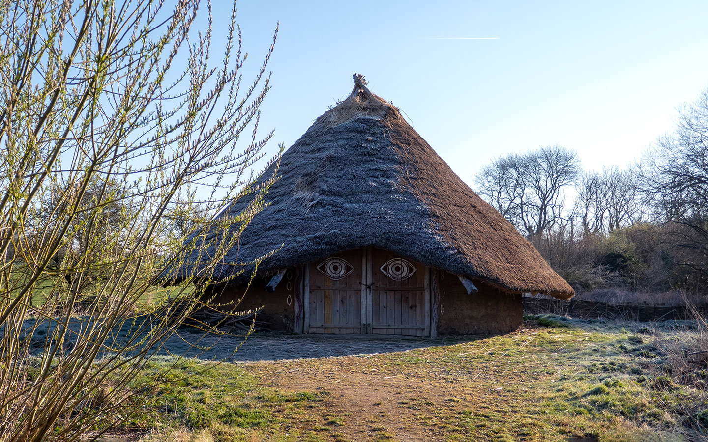
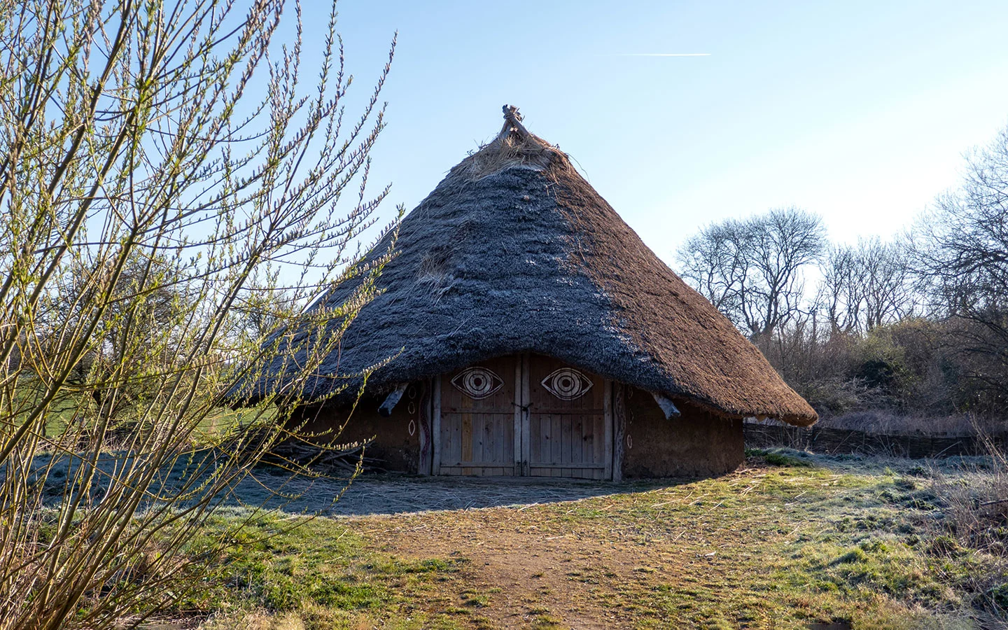
At the end of the path there’s a replica of an Iron Age roundhouse. Walk past it then go through the gate to the left which is marked the ‘Time Travel Trail’. Once you pass through the kissing gate, follow the public footpath signs across the field and on along a tree-lined path.
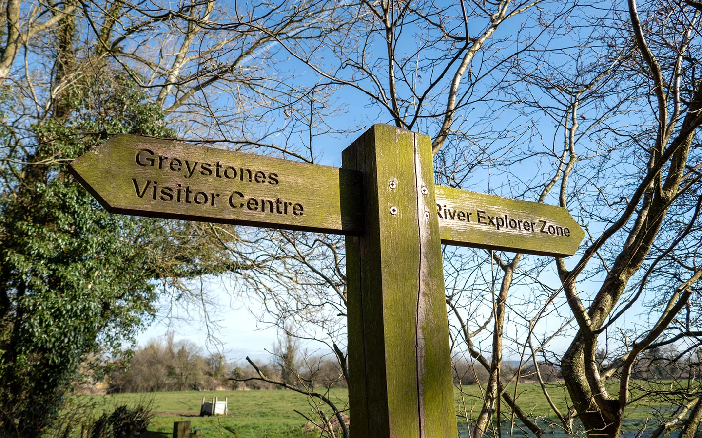
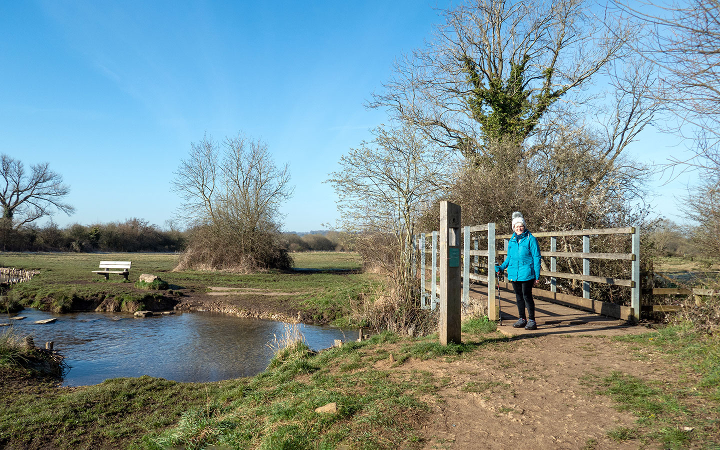
When you reach a wooden signpost marked Greystones Visitor Centre to the left and the River Explorer Zone to the right, head right along the path which first crosses over the River Eye and then the River Dikler – these are two of the shortest rivers in the Cotswolds.

The River Eye is a habitat for fish, mayflies, dragonflies and freshwater boatmen and is also used by otters and kingfishers. Look out for the supports made with twigs on the riverbanks – known as faggot bundles, they protect the bank from erosion by animals coming to drink.
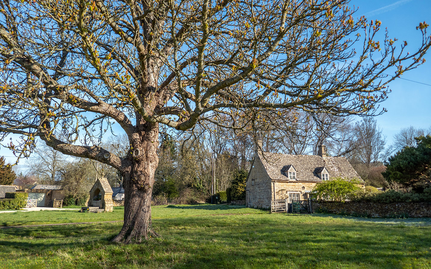
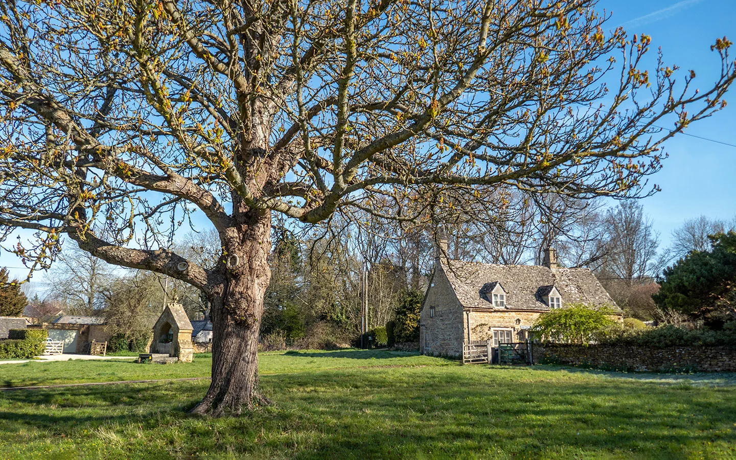
Carry on across fields, following the Oxfordshire Way and Gustav Holst Way signs until you reach the village of Wyck Rissington. When the path ends, turn right and walk along the side of the road (which is pretty quiet) through the village, still following the Oxfordshire Way. The village is spread out along the road, with a big village green, duck pond and Victorian drinking fountain.

Stage 2: Wyck Rissington to Bourton-on-the-Water
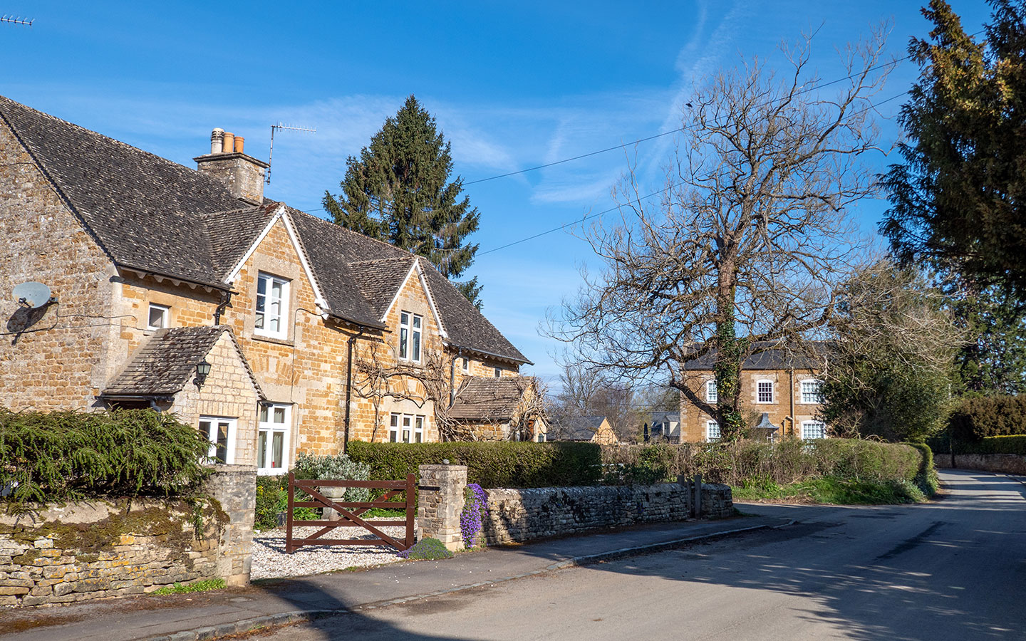
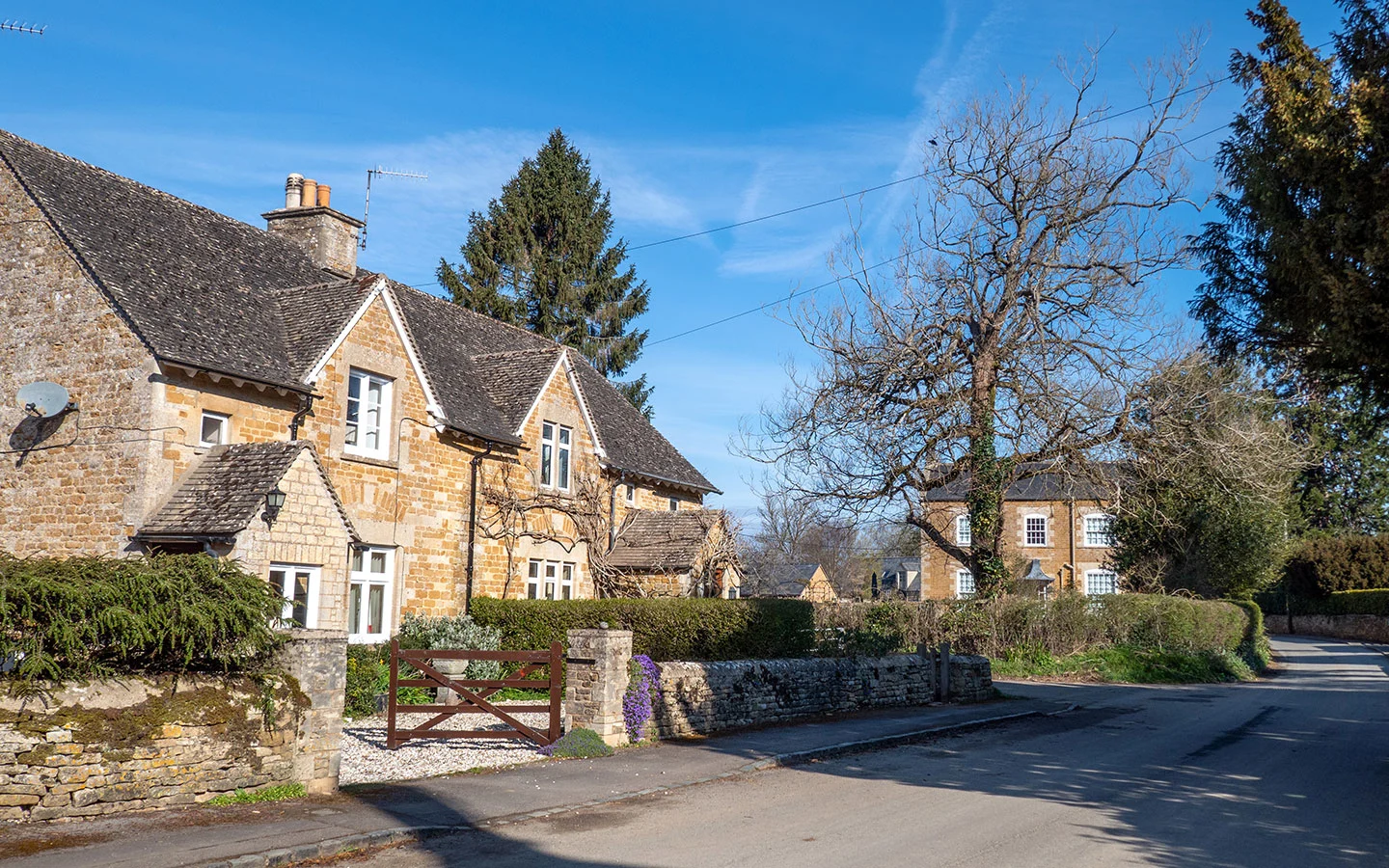
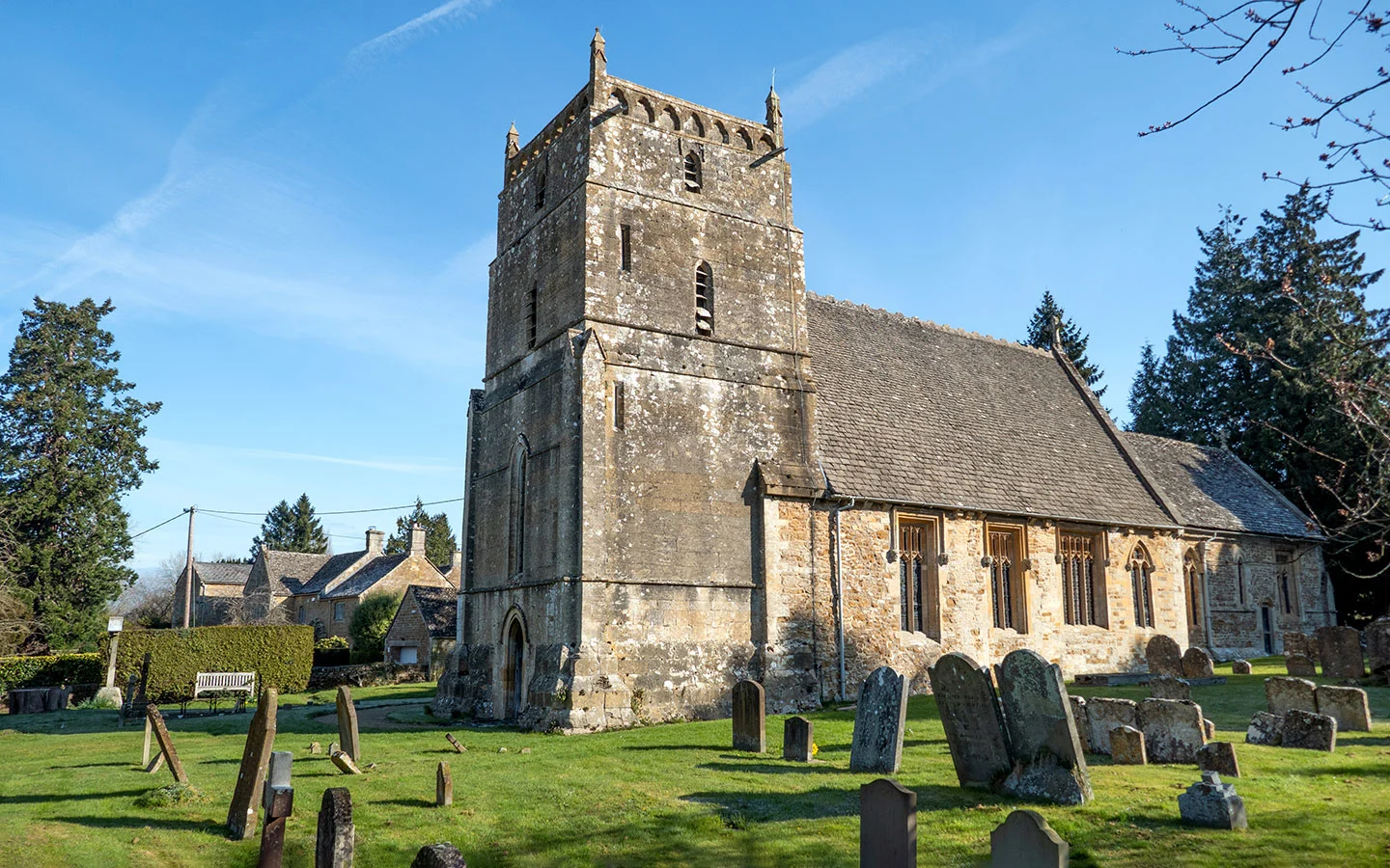
The Oxfordshire Way points to the left when you come to the Church of St Lawrence, but carry on along the road. The church was built in the 12th century, and Gustav Holst worked here as organist and choirmaster for a year in 1891 when he was a teenager. There’s also a mosaic maze inside to commemorate a maze that the former rector built in the vicarage gardens.
The road curves sharply to the left just after Lawrence House on the edge of the village, but carry straight on along the unmade road marked with a dead end sign. The path passes through two gates. After the second, keep the line of trees to your left and walk to the end of the field.

Take the footpath signposted to the right through the gate and along a path next to a stream. After 600 metres you’ll come to two gates – take the one on the left and follow the path until you meet a small road. Then turn right down the drive of Rissington Mill (now a private residence).
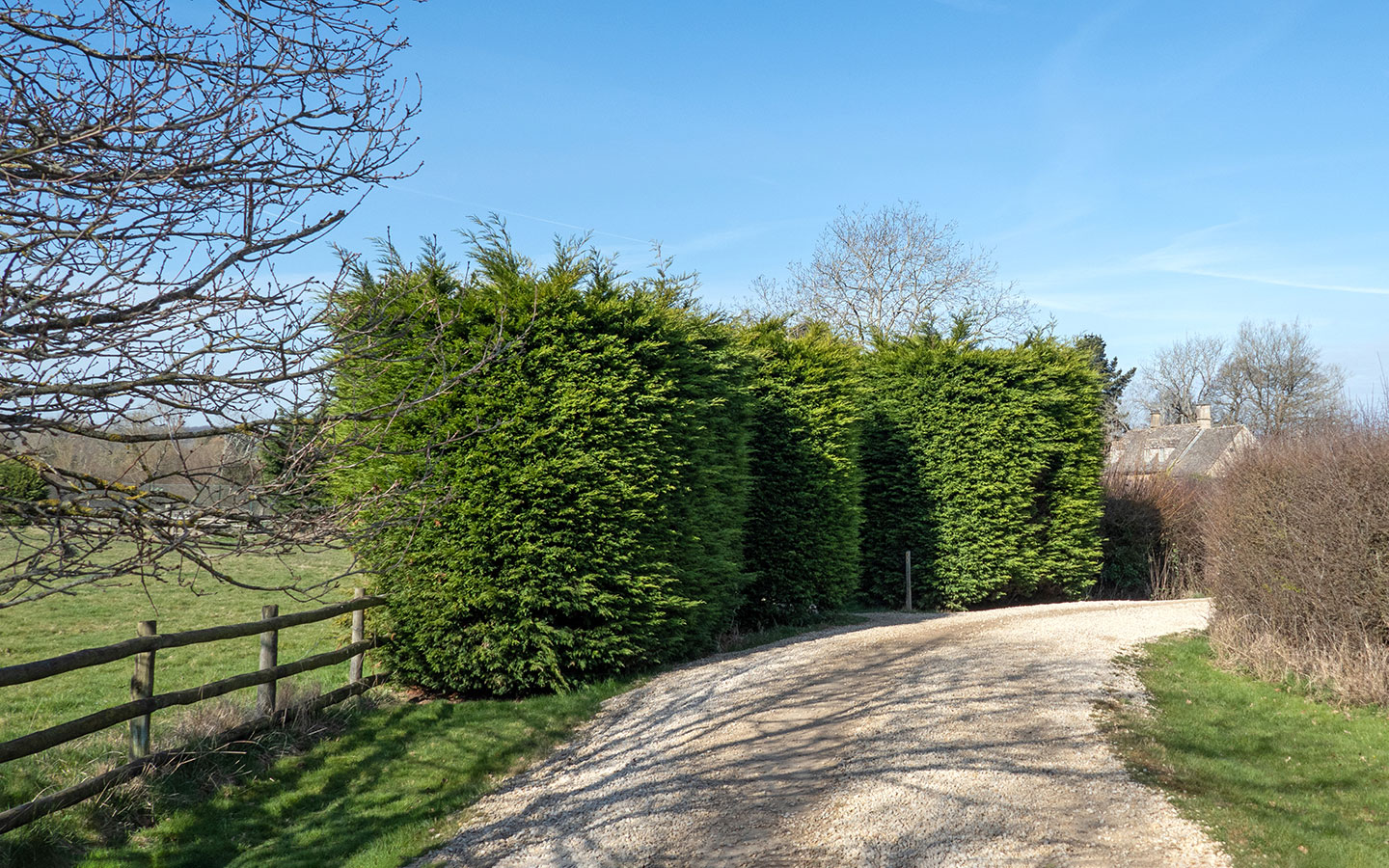
Before you reach the mill, look out for the tall evergreen hedges to the left. There’s a post in the middle of the hedge marked with a public footpath sign. Follow this path through the gap in the hedge, which then runs past the mill’s garden walls and across a couple of small bridges.

Climb over a bridge stile and walk across the field where you pick up a path which goes around the edge of a lake (there’s a fence around the lake so you can’t get right down to the water or see much unfortunately, but you can usually hear the birds). At the end of the path you come to a small road. Turn left and follow this road, which merges onto Cemetery Lane.
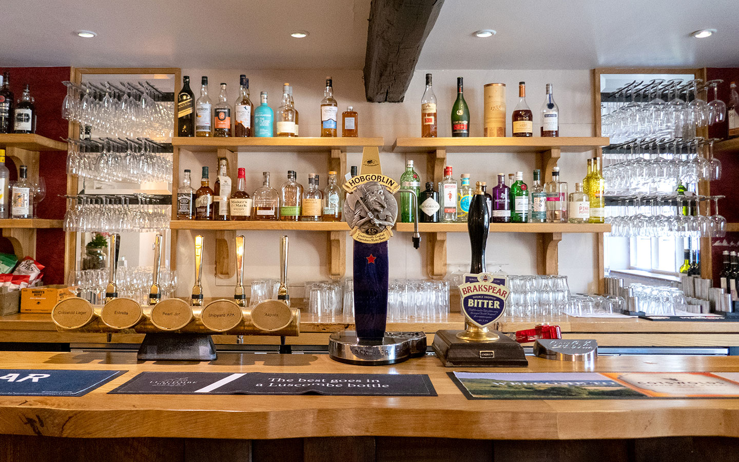
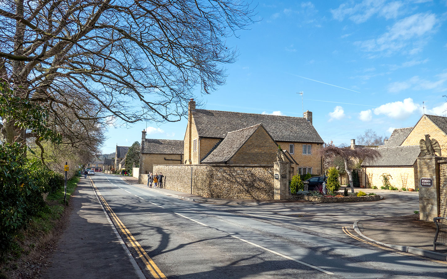
When you come to the cemetery gatehouse, take the path to the left through the trees which joins on to Station Road after 100 metres. Go left down the road to the junction in front of the Post Office, then turn right and follow the High Street back to the war memorial. And if you want to end with a drink, The Willow and the Old Manse pubs are right in front of the finish point.

* This site contains affiliate links, where I get a small commission from purchases at no extra cost to you.
Save for later

You might also like