
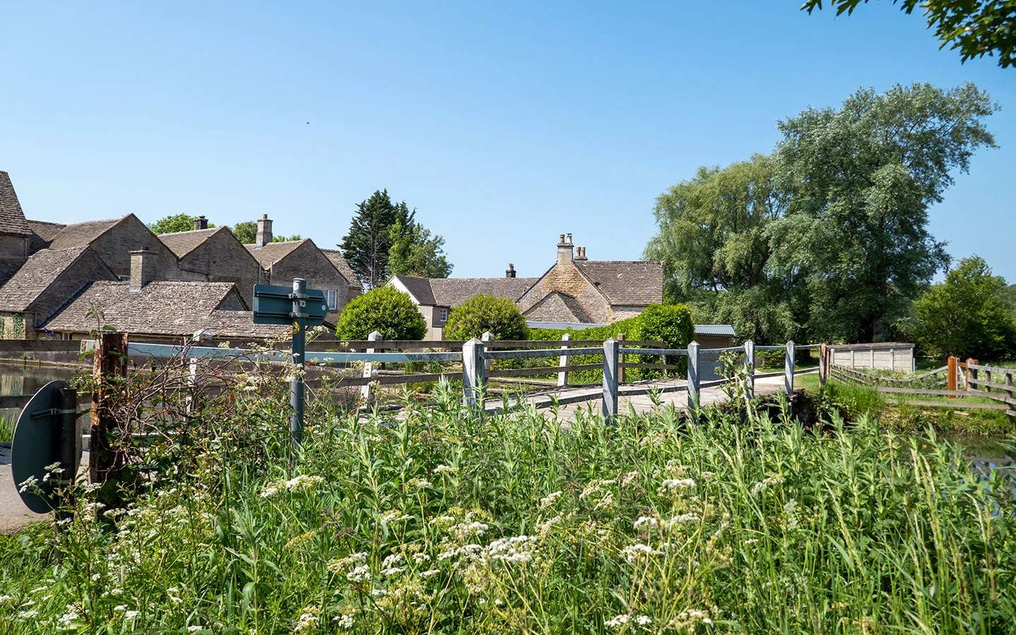
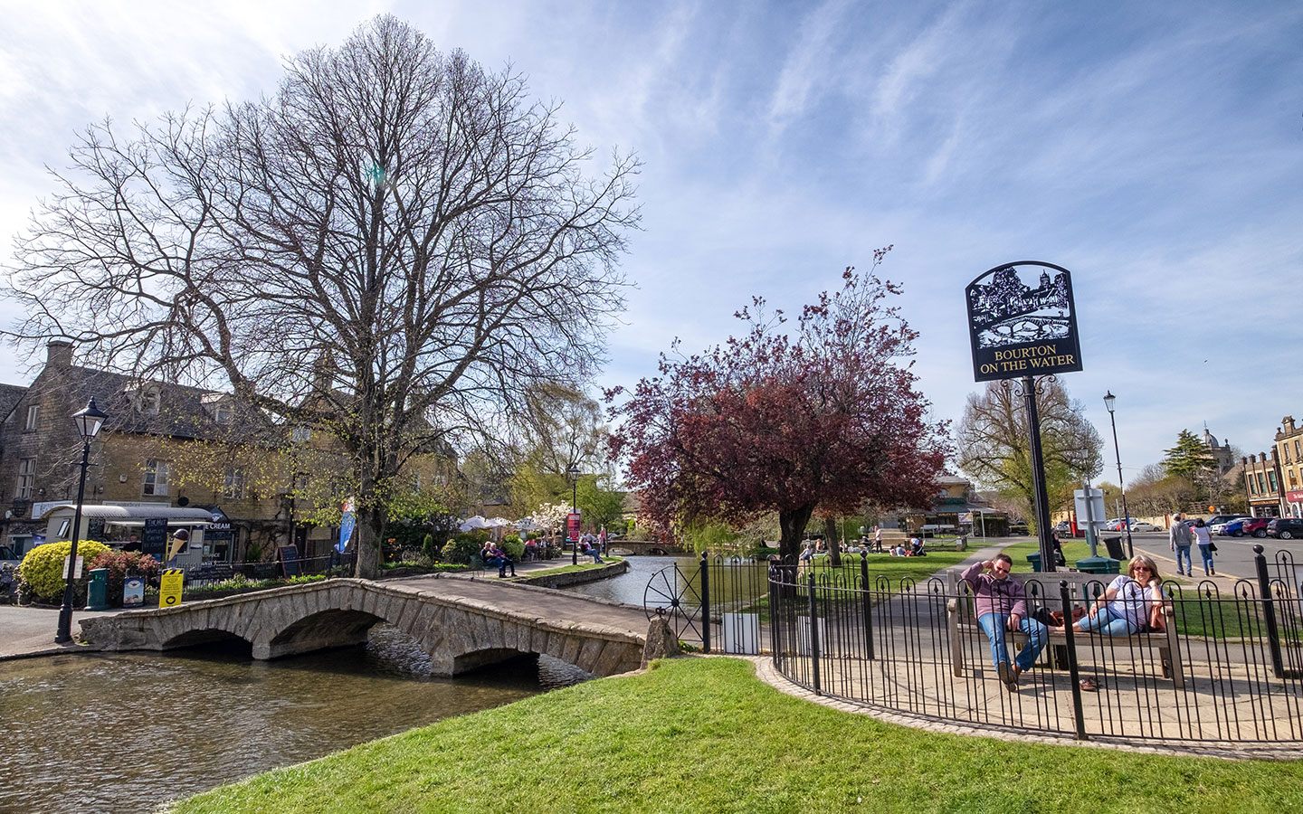
With its riverside setting and popular attractions like the Model Village and Cotswold Motoring Museum, visitors flock to Bourton-on-the-Water. But as well as having plenty to do in the village, Bourton also has some fantastic walks, making it easy to explore into the Cotswold countryside and visit nearby towns and villages like Upper and Lower Slaughter and Stow-on-the-Wold.
Bourton is on the route of several long-distance walking routes, including the Monarch’s Way and Gloucestershire Way, so you’ve got plenty of options. But we’ve chosen eight of our favourite day walks from Bourton-on-the-Water, which range from 1.5 to 13.5 miles. They include a mix of circular and one-way routes, where you can get back to Bourton using public transport.
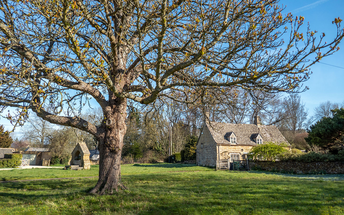
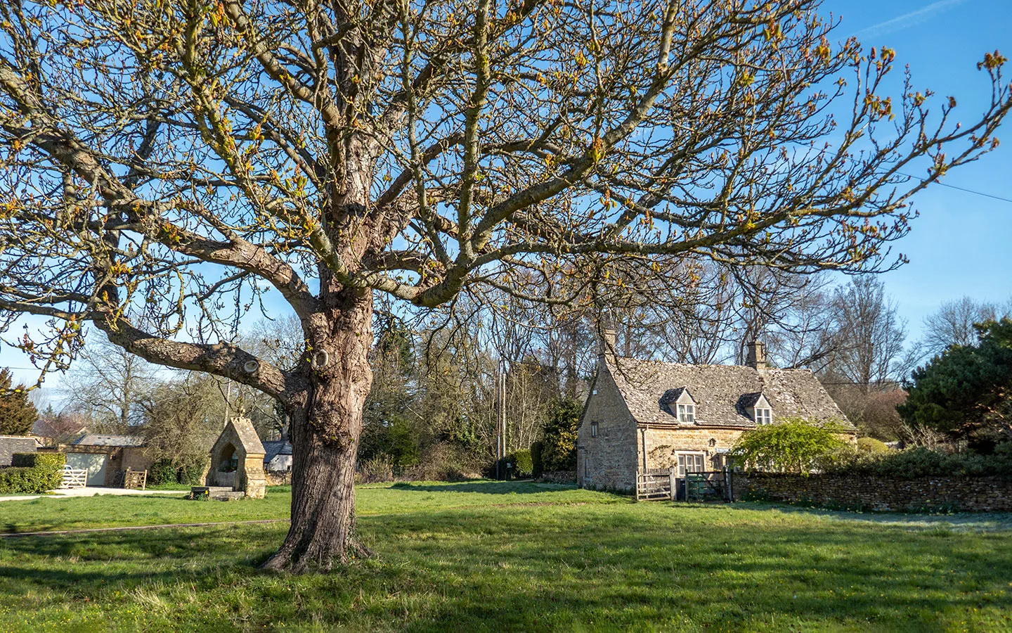
1. Bourton-on-the-Water to Lower Slaughter (1.5 miles one way)
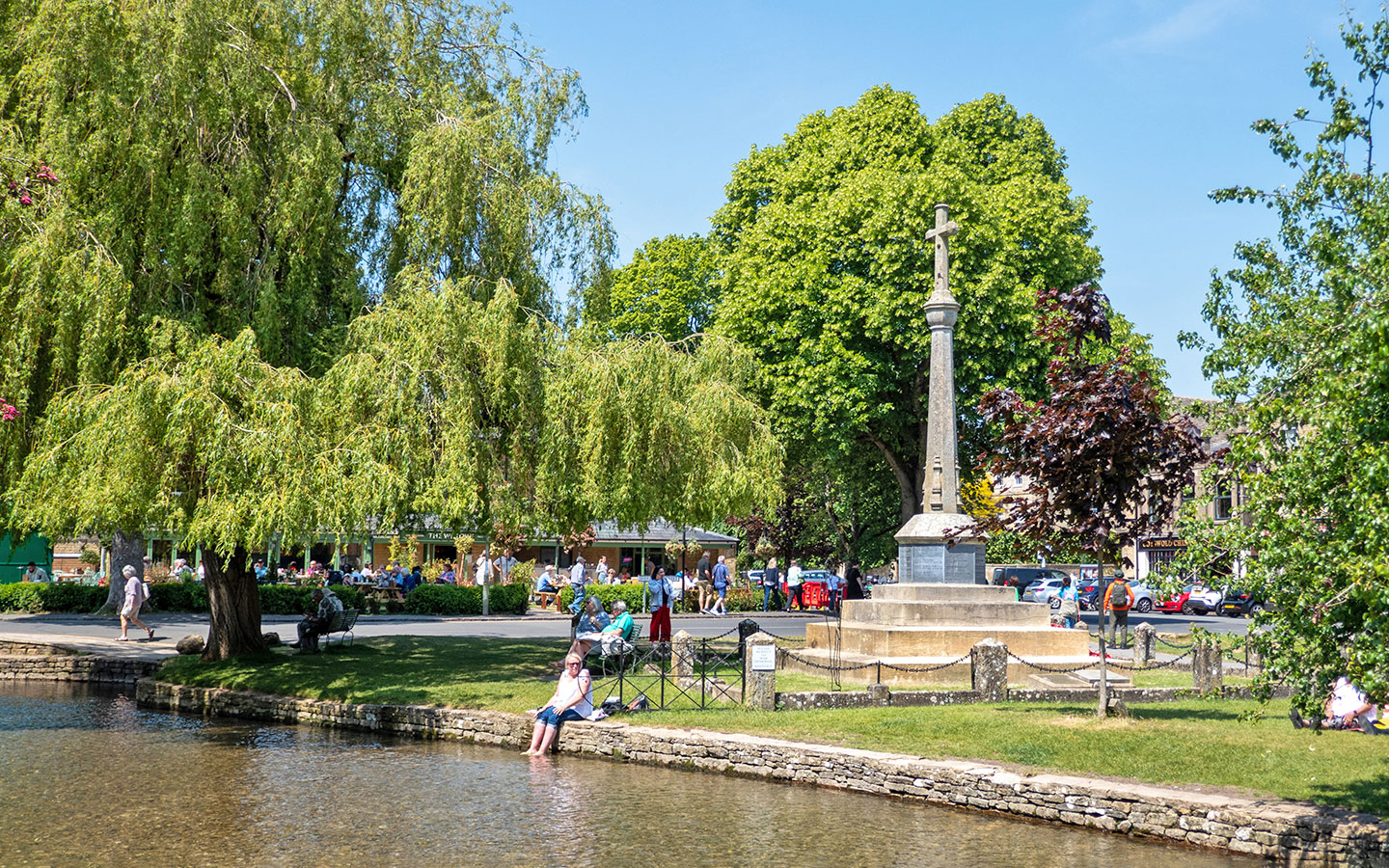
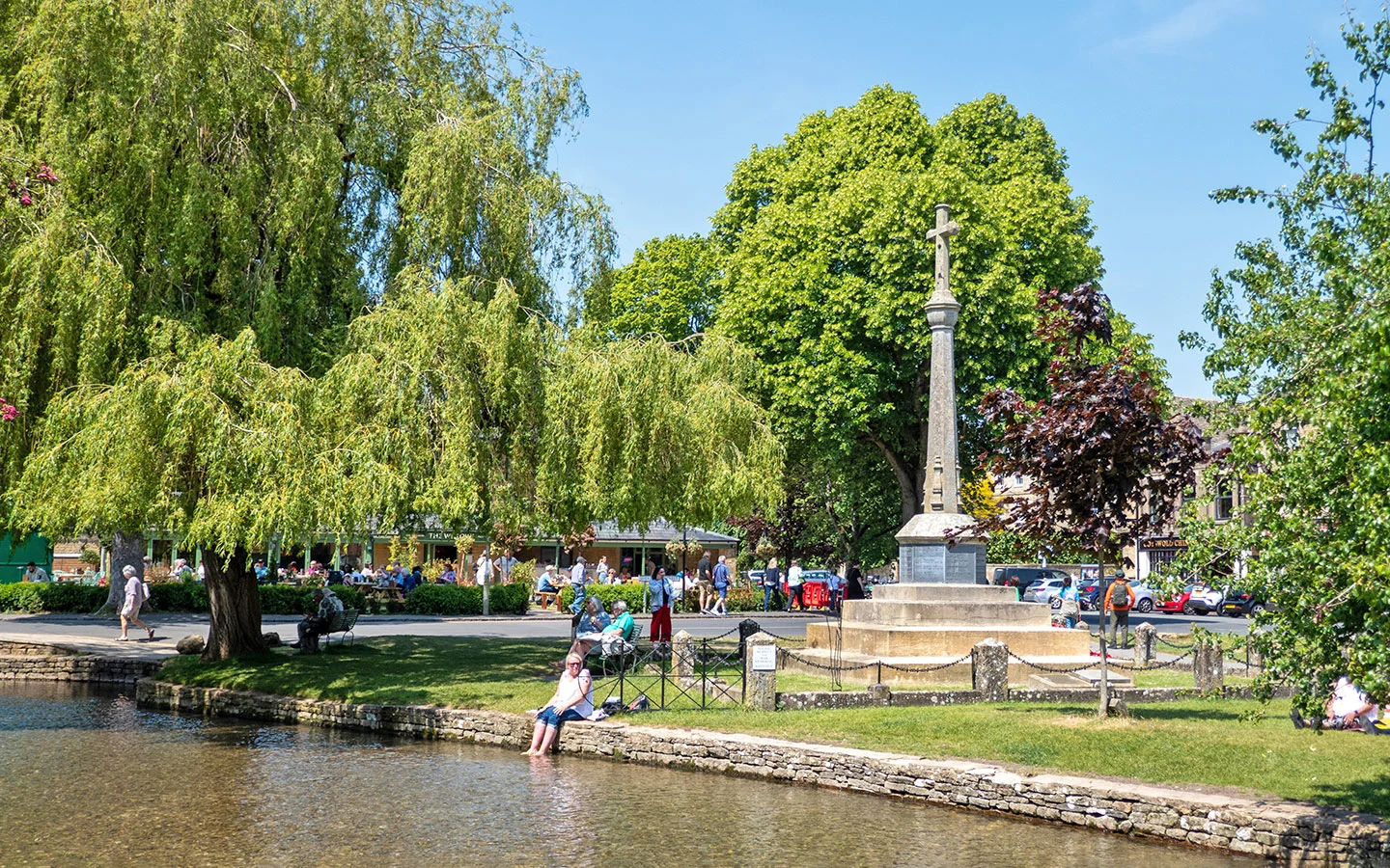
It’s an easy walk from Bourton-on-the-Water to the picturesque village of Lower Slaughter, along fairly flat paths. The route follows part of the Monarch’s Way long-distance walking route, starting at Bourton’s war memorial and passing St Lawrence’s Church on its way out of the village.
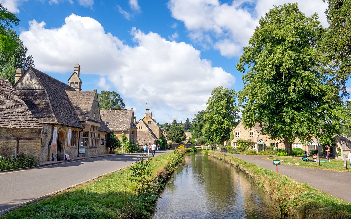
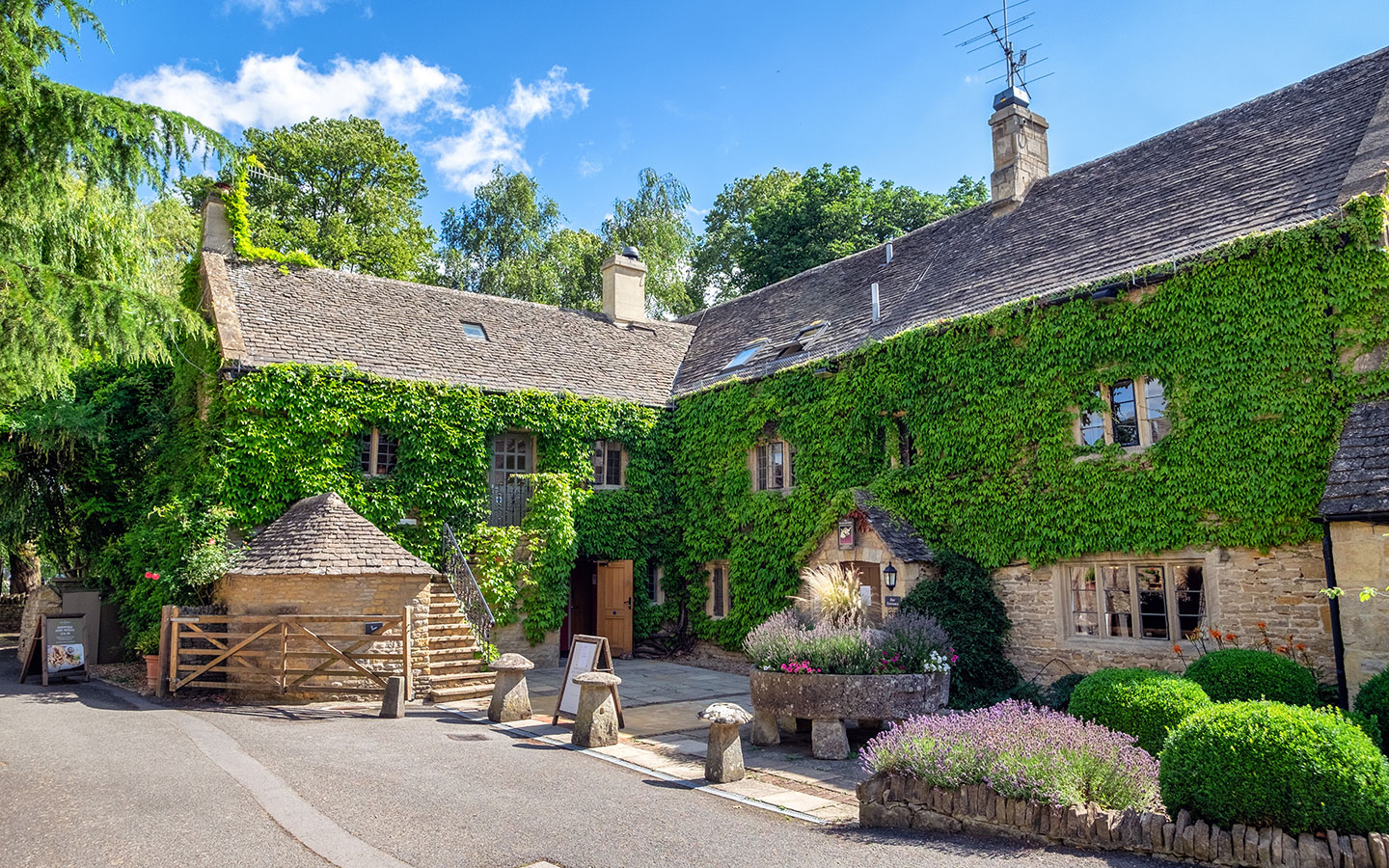
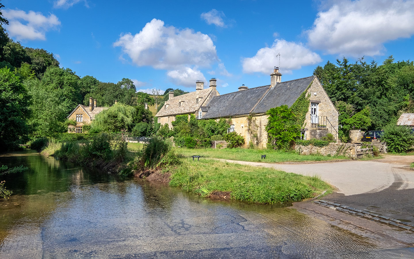
After crossing the Fosse Way (A429) – which was once the Roman road between Exeter and Lincoln – you follow a footpath across fields and along the banks of the River Eye into Lower Slaughter. There you can stroll along Copsehill Road, voted the most romantic street in Britain, visit St Mary’s Church or have lunch at the Slaughters Country Inn or Slaughters Manor House.

You can either retrace your steps back to Bourton, or take a bus or taxi. The Pulhams 801 bus (daily) from Slaughter Pike on the A429 runs to Bourton hourly Monday–Saturday and every two hours on Sundays. Or you can pre-book a ride back to Bourton on The Robin bookable minibus.
- Distance: 1.5 miles/2.4km
- Time: 45 minutes
- Difficulty: Easy
- Start/finish point: Bourton-on-the-Water war memorial/Copsehill Road, Lower Slaughter
- Map and directions
2. Bourton-on-the-Water to the Slaughters (5.4 miles circular)
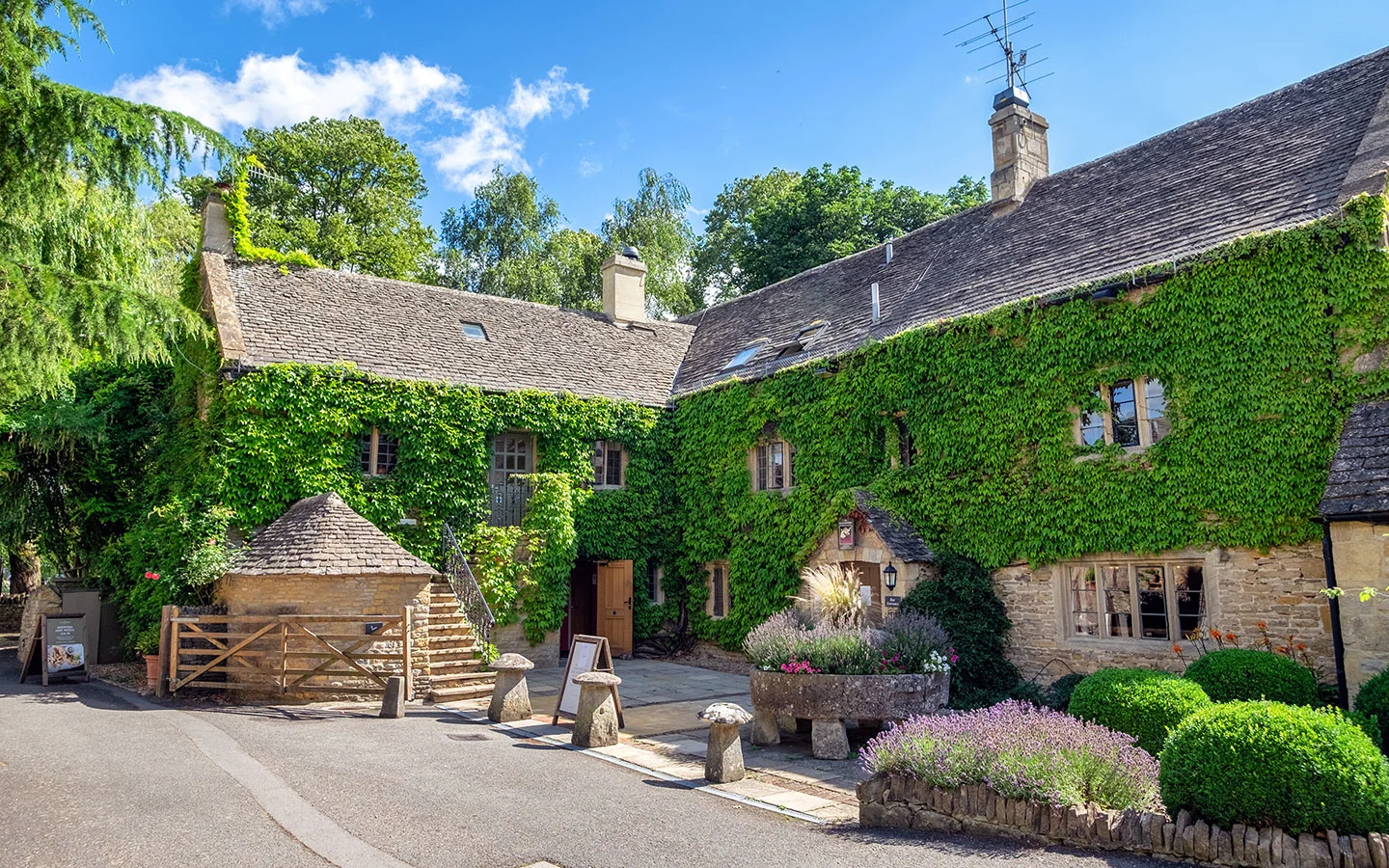
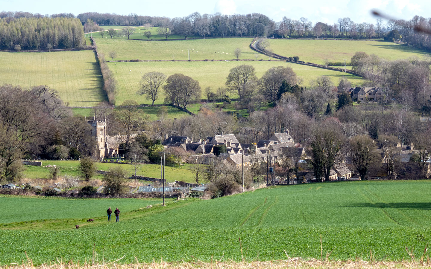
If you want to visit both Lower and Upper Slaughter, this circular walk from Bourton-on-the-Water is an ideal option. The route follows the River Windrush west out of Bourton, along part of the Windrush Way (see below). It then runs across fields and along country roads to Upper Slaughter, where you can visit St Peter’s Church or call in to the Lords of the Manor Hotel.
From Upper Slaughter it’s a gentle one-mile walk along the River Eye to Lower Slaughter, where there are more places to eat and drink. Then the return leg follows the route of the Bourton-on-the-Water to Lower Slaughter walk above in reverse, ending back in the centre of the village.
- Distance: 5.4 miles/8.6km
- Time: 2.5 hours
- Difficulty: Easy
- Start/finish point: Bourton-on-the-Water war memorial
- Map and directions

3. Greystones Farm Nature Reserve (1.8 miles circular)
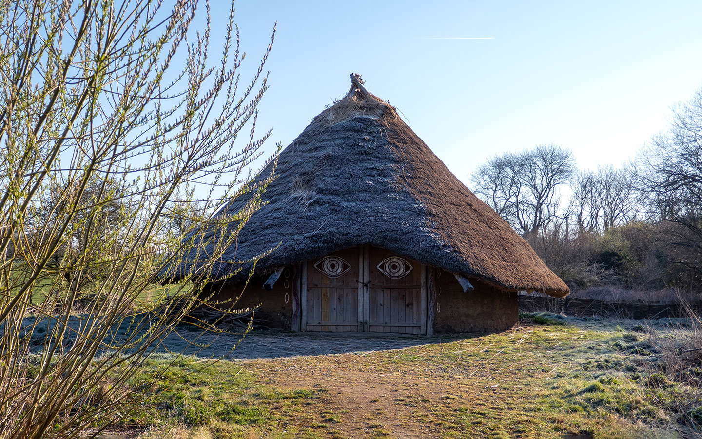
Greystones Farm Nature Reserve on the edge of Bourton is run by the Gloucestershire Wildlife Trust. Its ancient wildflower meadows are an important habitat for insects, birds and mammals. This walk heads east out of the village and does a circuit around the nature reserve.
You can learn more about the local wildlife at the Discovery Barn before following a path through the meadows. Along the way you pass a replica of an Iron Age roundhouse – Greystones was once the site of Salmonbury Camp, an important Neolithic and Iron Age meeting point. Then the route leaves the reserve and heads west, passing Bourton cemetery on its return into the village.
- Distance: 1.8 miles/3km
- Time: 1 hour
- Difficulty: Easy
- Start/finish point: Bourton-on-the-Water war memorial
- Map and directions
4. Bourton-on-the-Water to Wyck Rissington (4.6 miles circular)
This peaceful walk takes you through nature reserves and water meadows to the village of Wyck Rissington. The route heads east from Bourton through Greystones Farm Nature Reserve and across the River Eye and River Dikler – two of the smallest rivers in the Cotswolds.
You follow the Oxfordshire Way into Wyck Rissington, which has a big village green surrounded by 17th-century stone cottages. You can also visit the Church of St Lawrence, where composer Gustav Holst worked as organist and choirmaster in 1891. The path then runs across farmland towards Rissington Mill before looping back towards Bourton along the edge of a lake.
- Distance: 4.6 miles/7.4km
- Time: 2 hours
- Difficulty: Easy
- Start/finish point: Bourton-on-the-Water war memorial
- Map and directions
5. Bourton-on-the-Water to Stow-on-the-Wold (4.2 miles one way)
Combine several of the North Cotswolds’ most popular spots on this walk from Bourton-on-the-Water to Stow-on-the-Wold. The route first heads north out of Bourton to Lower Slaughter (at which point you could add in a short diversion to visit Upper Slaughter – 1 mile each way).
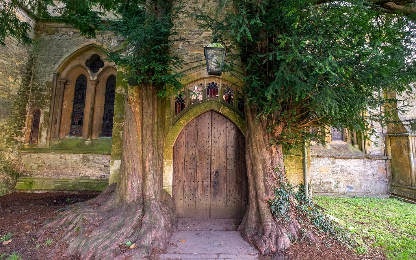
From Lower Slaughter you continue north across fields and alongside the River Dikler, following the route of the Monarch’s Way past a mill and equestrian centre. The route then ends with a short stretch along the busy Fosse Way into Stow-on-the-Wold. Stow has some great pubs, restaurants and antique shops, as well as St Edward’s Church with its famous Yew Tree Door.

From Stow you can catch the Pulhams 801 bus (daily) back to Bourton from the Market Square. It run hourly Monday–Saturday and every two hours on Sundays and takes 15 minutes. Or keen hikers could walk back to Bourton via Wyck Rissington and Icomb (6.1 miles/9.8km).
- Distance: 4.2 miles/6.7km
- Time: 1.5–2 hours
- Difficulty: Easy
- Start/finish point: Bourton-on-the-Water war memorial/Stow-on-the-Wold Market Square
- Map and directions (instructions are for Stow to Bourton but can be reversed)

6. Bourton-on-the-Water to Naunton (10.2 miles circular)
This circular walk from Bourton-on-the-Water combines scenic sections of both the Windrush and Warden’s Way walks (see below). First it runs north from Bourton to Lower Slaughter, where it picks up the path along the River Eye to Upper Slaughter. Then you cross the ford in Upper Slaughter (a good place to cool your feet on a hot day) and follows the Warden’s Way to Naunton.
Naunton is a tranquil village, home to The Black Horse Inn and a dovecote which was built in the 1660s. The route passes the Naunton Downs golf course to the south before joining the Windrush Way, following the river through fields and woodland all the way back into Bourton.
- Distance: 10.2 miles/16.4km
- Time: 4–5 hours
- Difficulty: Moderate
- Start/finish point: Bourton-on-the-Water war memorial
- Map and directions

7. The Windrush Way (13.5 miles one way)
Both the Windrush and Warden’s Way walking routes connect Bourton-on-the-Water with Winchcombe, and link up the Cotswold Way with the Oxfordshire Way. The Windrush Way is the more southerly of the two, and follows the route of the River Windrush part of the way.
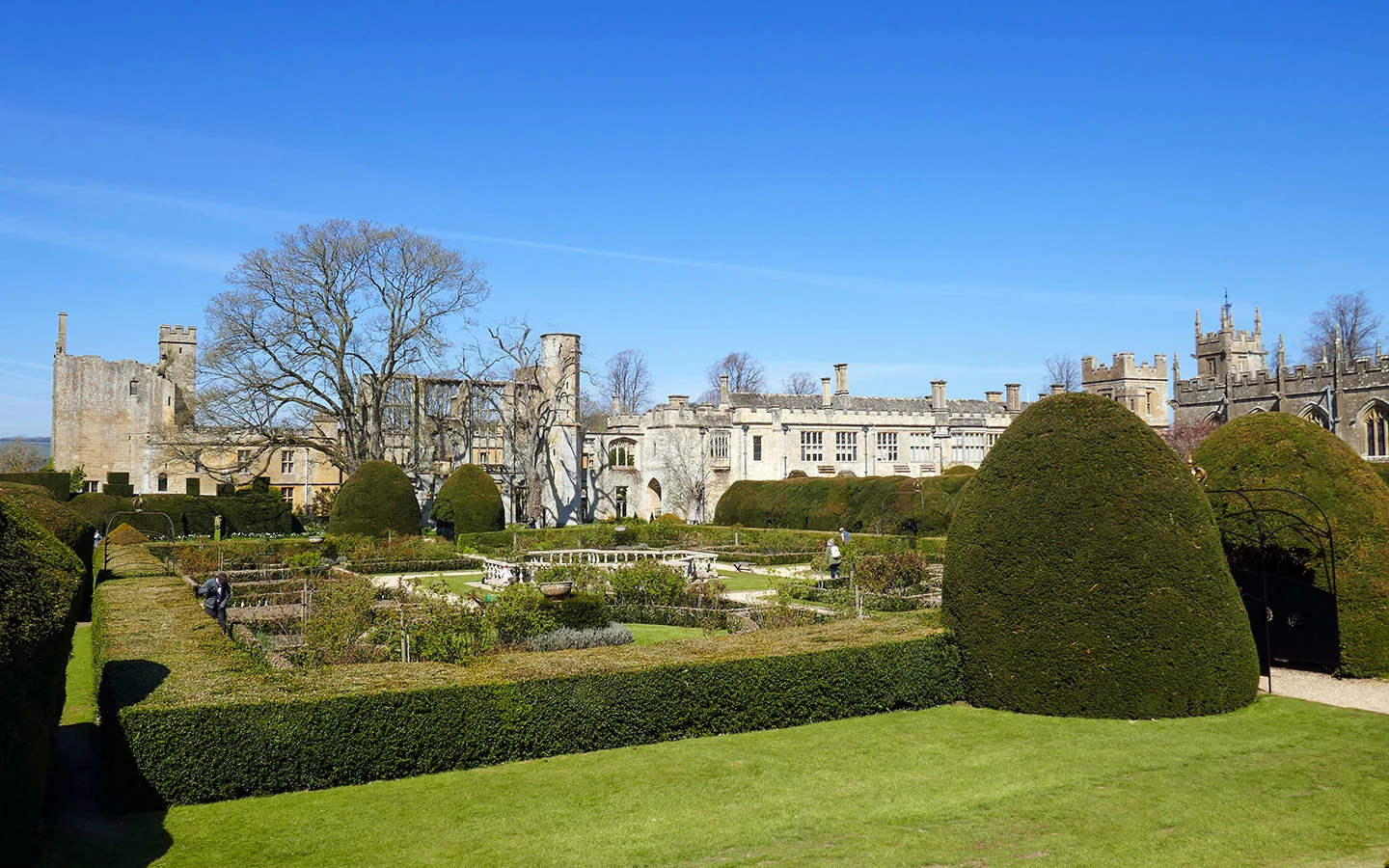
The path runs west from Bourton along the river, passing the site of some vanished medieval villages as it runs south of Naunton (you could do a short diversion here to The Black Horse Inn as there are no pubs or shops until Winchcombe). It then passes through Hawling and travels across country before the last stretch takes you past Sudeley Castle on the way into Winchcombe.
- Distance: 13.5 miles/21km
- Time: 6–6.5 hours
- Difficulty: Moderate
- Start/finish point: Bourton-on-the-Water war memorial/Abbey Terrace, Winchcombe
- Map and directions (instructions are for Winchcombe to Bourton but can be reversed)

8. The Warden’s Way (13.5 miles one way)
The last of our Bourton-on-the-Water walks is The Warden’s Way, the more northerly route to Winchcombe which passes through a series of Cotswold villages with several places to stop for lunch. From Bourton the route runs through Lower and Upper Slaughter. It then follows farm tracks to Naunton, where it crosses the River Windrush and continues on to the village of Guiting Power.
There are a couple of pubs in Guiting Power – the Farmers Arms and Hollow Bottom – as well as a café in the old Post Office. The last part of the walk goes through Guiting Woods and along the Salt Way (used to transport salt in the Roman and medieval period). Then it passes Sudeley Lodge and Castle, before ending at the war memorial on Abbey Terrace in Winchcombe.
- Distance: 13.5 miles/21km
- Time: 6–6.5 hours
- Difficulty: Moderate
- Start/finish point: Bourton-on-the-Water war memorial/Abbey Terrace, Winchcombe
- Map and directions


* This site contains affiliate links, where I get a small commission from purchases at no extra cost to you.
Save for later


You might also like


Masse
Monday 10th of March 2025
Bonjour Excellent website, full of practical informations for transportations, walking trails and villages description. Coming in june and will make the best out of this Monique
Lucy Dodsworth
Monday 17th of March 2025
Thanks Monique, hope you have a great trip!
Julie
Sunday 9th of February 2025
Thank you for these marvelous hints, maps and guides. As I plan my Cotswolds trip for 2026, these are SO helpful! (Particularly since I am an avid walker, but rely on public transport whenever I am in England. Yes....I am an American coward :)
Lucy Dodsworth
Friday 14th of February 2025
Thanks Julie, great to hear that the posts have been useful!