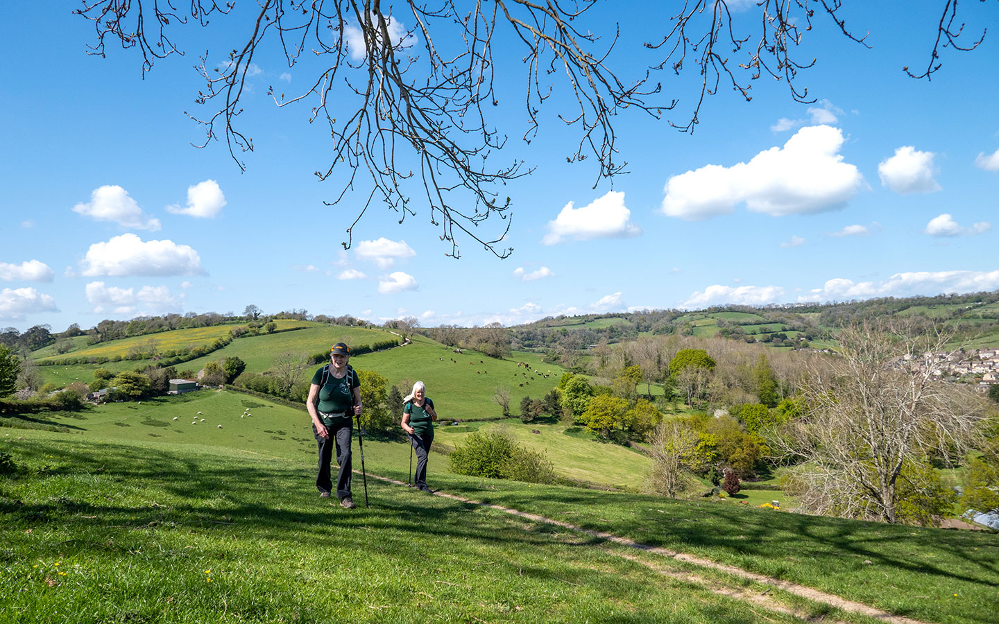
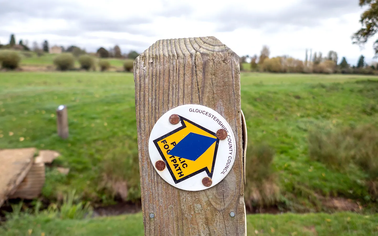
The Cotswolds is heaven for walkers, with over 3000 miles of footpaths connecting towns and villages and criss-crossing its countryside. There’s no shortage of day walks to get stuck into. But if you’re looking for more of a challenge, why not take on a multi-day long-distance hike?
We’ve picked out 13 long-distance walking routes in the Cotswolds which include some of the region’s best bits. Some are contained within the Cotswolds and others pass through the region as part of a longer route. And at 34–125 miles you can spread them out to suit your pace.
For each walk we’ve included an overview of the main stops along the route and added links to guidebooks where available. Note though that many of these are quite old now so do double check the content – we’ve included links to GPX map files you can use for navigation.


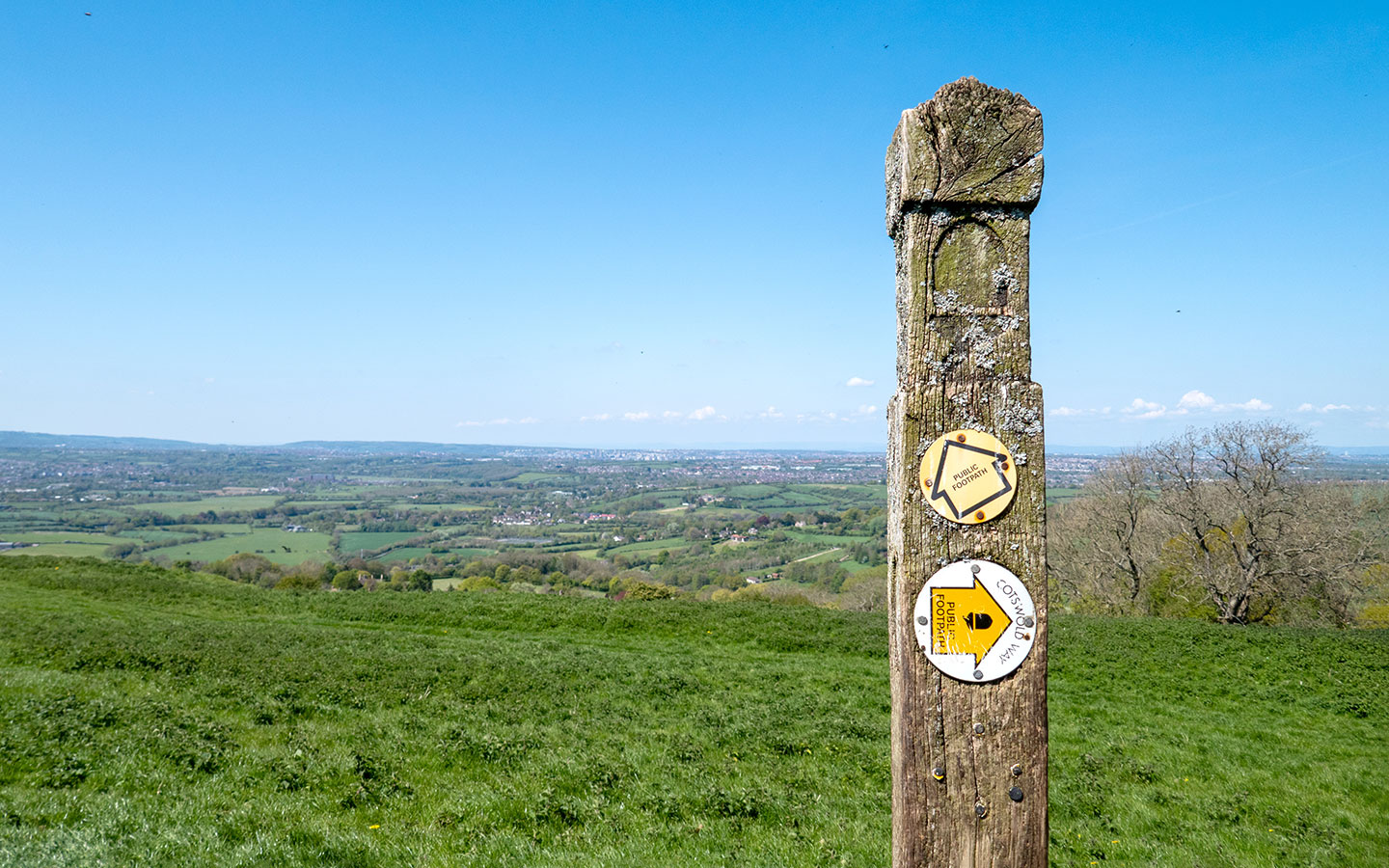
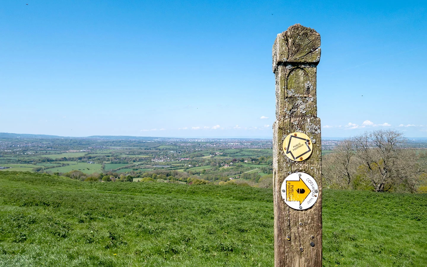
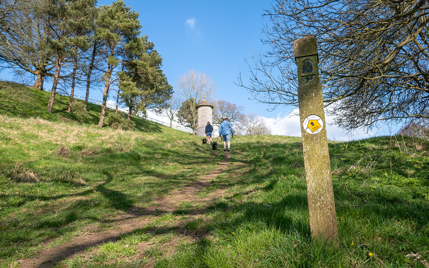
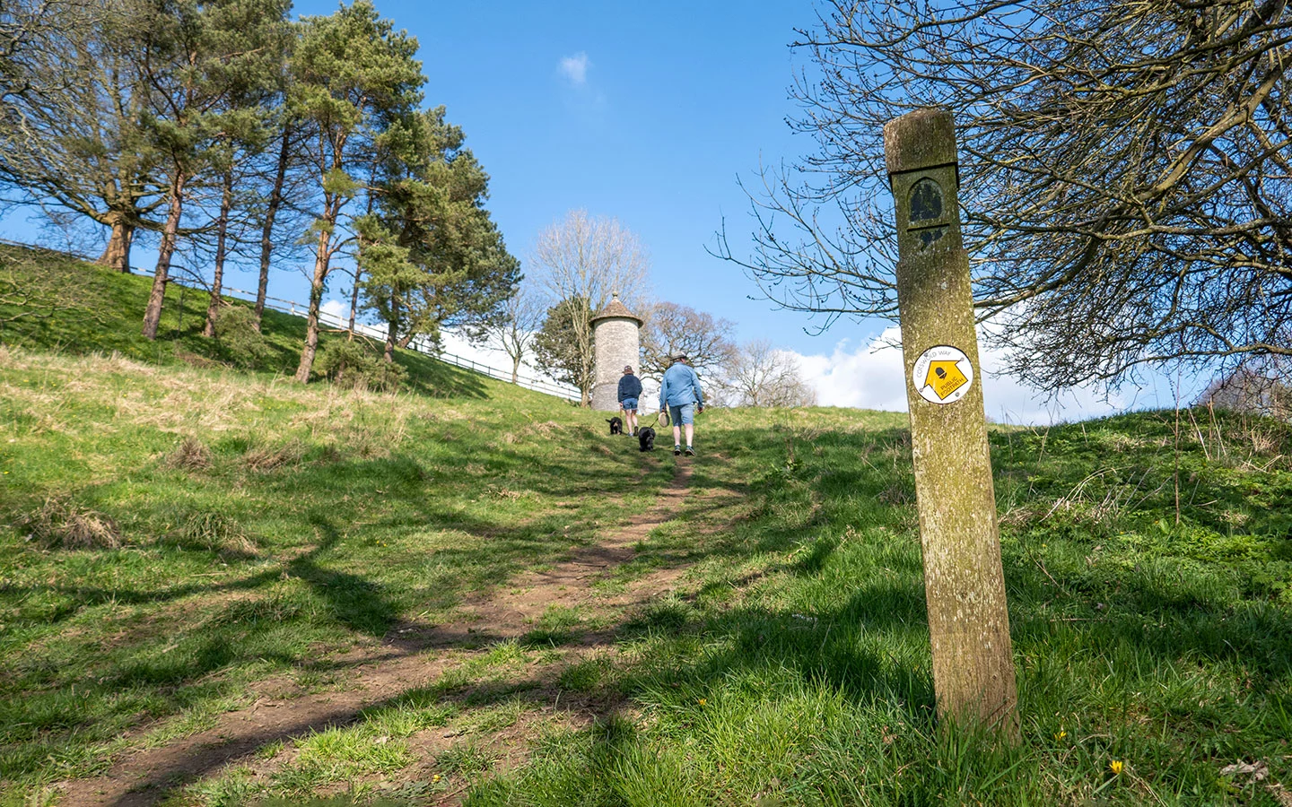
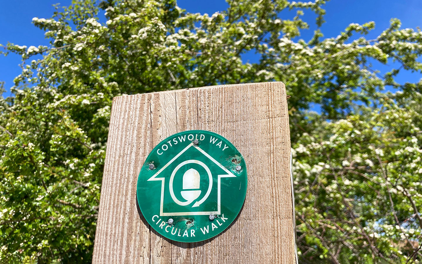
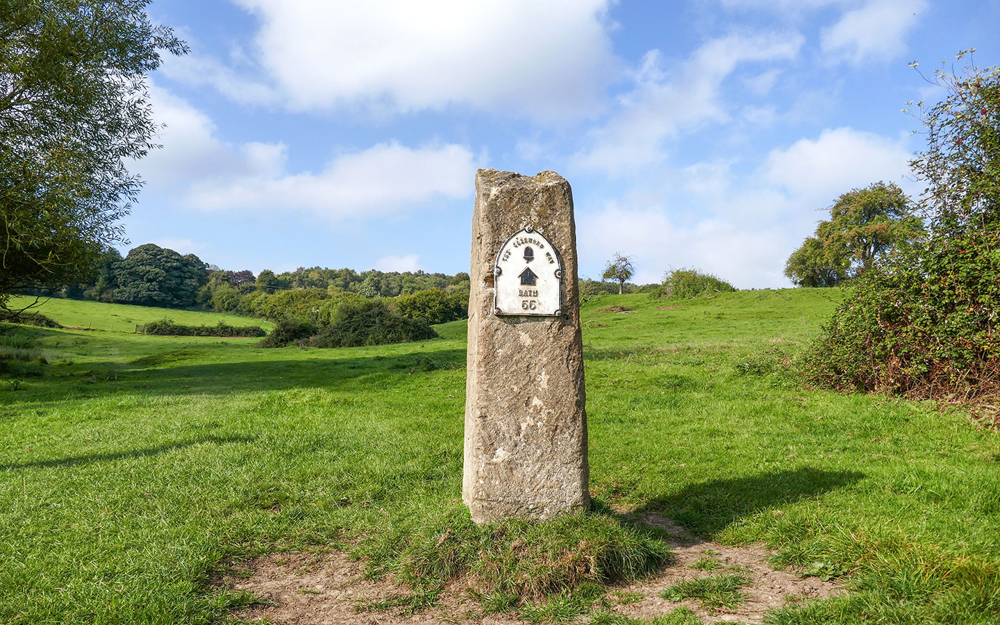
Cotswold Way: 102 miles
Chipping Campden > Broadway > Winchcombe > Cleeve Hill > Birdlip > Painswick > King’s Stanley > Dursley > Wotton-under-Edge > Old Sodbury > Cold Ashton > Bath
The Cotswold Way is the most iconic long-distance walking route in the Cotswolds. It was designated a National Trail in 2007 and is one of 16 trails across England and Wales. The route follows the western edge of the Cotswold hills, and includes some spectacular viewpoints as well as pretty villages, historic sights, battlefields and plenty of peaceful countryside and woodland.

The Cotswold Way isn’t too challenging – despite having a lot of hills along the way, particularly at the northern end, they aren’t too steep. Most people walk the route in seven–eight days, but you can also spread it out over 10 days if you want time to explore the places you pass through.
The route can be walked in either direction. There are more villages and more to see in the northern part, and more open countryside in the south, so it depends what you want to do first. And if you don’t want to take on the full route, there’s also a series of Cotswold Way circular walks.
More information: Cotswold Way tips | 10-day itinerary | Accommodation guide | Guidebook*

Palladian Way: 125 miles
Buckingham > Brackley > Woodstock > Minster Lovell > Burford > Bibury > Cirencester > Rodmarton > Malmesbury > Castle Combe > Box > Bath
The Palladian Way is inspired by the classical style of architecture developed by Andrea Palladio in 17th-century Italy. It starts in Buckingham and passes through Stowe Gardens, which is home to one of only four Palladian bridges in the world. Then it travels southwest through Brackley before entering the Cotswolds at Woodstock, passing through Blenheim Palace’s grounds.
There’s some beautiful architecture along the way, including Kirtlington House, Minster Lovell Hall, Malmesbury Abbey and the villages of Bibury and Castle Combe. And it ends up in Bath, passing though Prior Park National Trust site where you can see a second Palladian Bridge.
More information: Guidebook* | GPX files


Monarch’s Way (Cotswolds): 107 miles
Stratford-upon-Avon > Chipping Campden > Moreton-in-Marsh > Stow-on-the-Wold > Bourton-on-the-Water > Northleach > Cirencester > Tetbury > Chipping Sodbury > Bristol
Established in 1994, the Monarch’s Way follows the escape route King Charles II took after being defeated by Oliver Cromwell in the Battle of Worcester in 1651, with Parliamentary troops in hot pursuit. The full route runs for 625 miles between Worcester and Shoreham-by-Sea in West Sussex, where Charles set sail for France. But it includes a 107-mile section in the Cotswolds.
The Monarch’s Way is a great option if you’ve already walked the Cotswold Way, as it covers a similar distance but there’s very little overlap. And it includes famous Cotswold locations like Bourton-on-the-Water, Lower Slaughter, Stow-on-the-Wold, Cirencester and Tetbury.
More information: Guidebook | GPX files


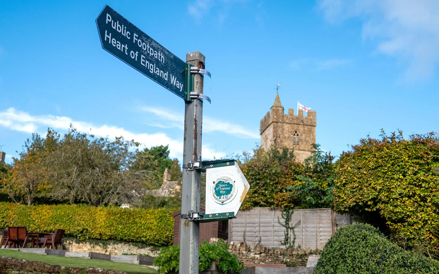
Heart of England Way: 101 miles
Milford > Cannock Chase > Lichfield > Henley in Arden > Alcester > Mickleton > Chipping Campden > Blockley > Longborough > Lower Slaughter > Bourton-on-the-Water
The Heart of England Way was created to link the Staffordshire Way at Cannock Chase and the Cotswold Way at Chipping Campden (later extended to Bourton-on-the-Water). It was part of a plan to create a network of footpaths running all the way from John O’Groats to Lands End.
The route includes Staffordshire, Warwickshire and Gloucestershire. It starts at Milford in Staffordshire, at the top of Cannock Chase. And after travelling through Lichfield and Henley in Arden, the Heart of England Way enters the Cotswolds at Mickleton, north of Chipping Campden.
The Cotswold section of the route runs through Broad Campden, Bourton-on-the-Hill, Longborough, Lower Swell and Lower Slaughter, before ending in Bourton-on-the-Water. If you just wanted to walk the Cotswold section then it’s 19.3 miles, so could be done in a day or two.
More information: Guidebook* | GPX files

Gloucestershire Way: 100 miles
Chepstow > Parkend > Gloucester > Salperton > Lower Slaughter > Stow-on-the-Wold > Ford > Winchcombe > Tewkesbury
The Gloucestershire Way runs across almost the full width of the county, covering a distance of 100 miles. It’s split into three sections, with the first two covering the Forest of Dean and the Severn Vale before it reaches the Cotswolds, entering the region at Crickley Hill near Cheltenham.
The route runs east through tranquil countryside around Salperton and Cold Aston, then heads north though Lower Slaughter to Stow-on-the-Wold. Next it does a sharp turn to the west, passing through Winchcombe on its way to the finish at Tewkesbury Abbey. It normally takes eight days to walk – and links to the 31-mile Worcestershire Way if you want to keep going.
More information: GPX files


Macmillan Way (Cross-Cotswold Pathway): 86 miles
Banbury > Adlestrop > Lower Slaughter > Cold Aston > Rendcomb > Avening > Chavenage > Westonbirt > Castle Combe > Box > Bath
The Macmillan Way is a series of interlinked long-distance footpaths across England and Wales, which was designed to help raise money for the charity Macmillan Cancer Support. The whole route runs for 287 miles from Boston in Lincolnshire to Abbotsbury on the Dorset coast.
There’s also a shorter 86-mile section called the Cross-Cotswold Pathway, running diagonally across the Cotswolds from Banbury to Bath. It passes through small villages like Cold Aston, Rendcomb and Chavenage, as well as Westonbirt Arboretum and picturesque Castle Combe.
Or for more of a challenge, the Cotswold Round turns it into a 217-mile circular route, returning on the Cotswold Way north to Chipping Campden then cutting back across to Banbury.
More information: Guidebook | GPX files


Oxfordshire Way: 67 miles
Bourton-on-the-Water > Wyck Rissington > Bledington > Shipton-under-Wychwood > Charlbury > Kirtlington > Islip > Henley-on-Thames
The Oxfordshire Way is one of the few long-distance walks in the Cotswolds which focuses on the east of the region, and is a brilliant way to explore the Oxfordshire Cotswolds. The route links the Heart of England Way with the Thames Path National Trail and takes four–six days.
It starts in Bourton-on-the-Water (just over the county border in Gloucestershire) then travels across the Cotswold hills and along the meandering route of the River Evenlode. It passes through Shipton-under-Wychwood and Charlbury. Then after leaving the Cotswolds, the Oxfordshire Way runs across the chalk hills of the Chilterns to reach the River Thames at Henley.
More information: Guidebook* | GPX files
Donnington Way: 62 miles (circular)
Stow-on-the-Wold > Longborough > Bourton-on-the-Water > Naunton > Guiting Power > Snowshill > Broadway > Chipping Campden > Blockley > Moreton-in-Marsh > Stow-on-the-Wold
If your idea of a good walk involves stopping at a cosy Cotswold pub, then you’ll love the Donnington Way. This is a bit different to our other long-distance walking routes in the Cotswolds since it was designed to connect the Donnington Brewery with its 15 original Cotswold pubs.
The route starts in the Market Place at Stow-on-the-Wold. The pubs are spread across the 62-mile route and some have B&B rooms so you can stop overnight, including The Coach and Horses in Longborough, The Golden Ball Inn in Lower Swell and The Halfway at Kineton. And you could also add on a tour of the 159-year-old Donnington Brewery if you’re passing on a Friday.
More information: Guidebook* | App | GPX files


North Cotswold Diamond Way: 60 miles (circular)
Moreton-in-Marsh > Chipping Campden > Blockley > Notgrove > Northleach > Farmington > Bourton-on-the-Water > Daylesford > Adlestrop > Moreton-in-Marsh
The Diamond Way was devised in 1995 to celebrate the Ramblers’ Association’s Diamond Jubilee. Its circular route links some of the North Cotswolds’ smaller scenic villages and is an ideal way to visit lesser-known places like Notgrove, Naunton, Broad Campden and Adlestrop.
The route is generally walked anticlockwise from Moreton-in-Marsh over three–seven days, but being a loop means you can start wherever you like. It runs mainly along quiet footpaths through the countryside. And there are some fantastic pubs to stop at along the way, including The Ebrington Arms, The Kings Head in Bledington and The Bakers Arms in Broad Campden.
More information: GPX files

Cotswold Ring: 61 miles (circular)
Cheltenham > Winchcombe > Broadway > Chipping Campden > Blockley > Moreton-in-Marsh > Stow-on-the-Wold > Lower Slaughter > Bourton-on-the-Water > Cheltenham
The Cotswold Ring is another circular route, this time starting in Cheltenham. Its 61-mile route is a real highlight reel of the North Cotswolds, featuring Broadway, Chipping Campden, Bourton-on-the-Water, Stow-on-the-Wold and Lower Slaughter, as well as lots of smaller villages.
The route also passes a host of fascinating historic sites along the way, including Neolithic burial chamber Belas Knap Long Barrow, the ruins of Hailes Abbey, stately home Stanway House and the Broadway Tower. It’s usually walked over four–six days and includes parts of the Cotswold Way and Monarch’s Way routes, so it’s a good option if you don’t have time for a longer walk.
More information: Guidebook* | GPX files


Wysis Way: 55 miles
Monmouth > Mitcheldean > Gloucester > Painswick > Bisley > Chalford > Kemble
One of the lesser-known long-distance walking routes in the Cotswolds is the Wysis Way. This links two National Trails – Offa’s Dyke Path and the Thames Path. It starts in Monmouth in Wales, and like the Gloucestershire Way it runs through the Forest of Dean and Severn Vale first.
From Gloucester the route heads southeast through the rolling hills of the Cotswolds. Along the way you’ll see fantastic views from Painswick Beacon, the pretty village of Bisley, Arts and Crafts design in Sapperton, the Thames and Severn Canal, and the source of the Thames.
And in case you’re wondering about the name, it’s a made-up word that’s combines the two rivers it connects – the Wye and the Isis (as the Thames is known when it flows through Oxford).
More information: Guidebook* | GPX files
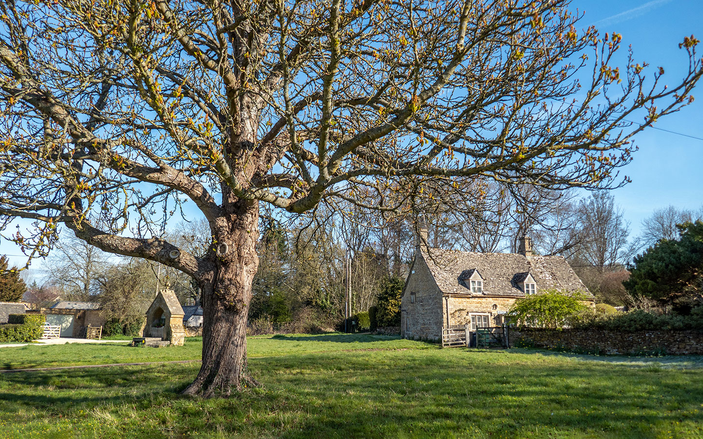
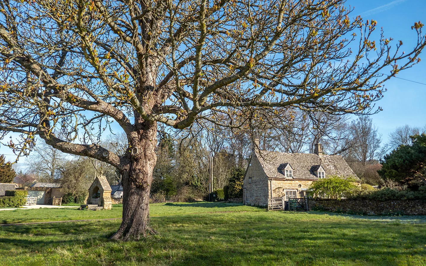
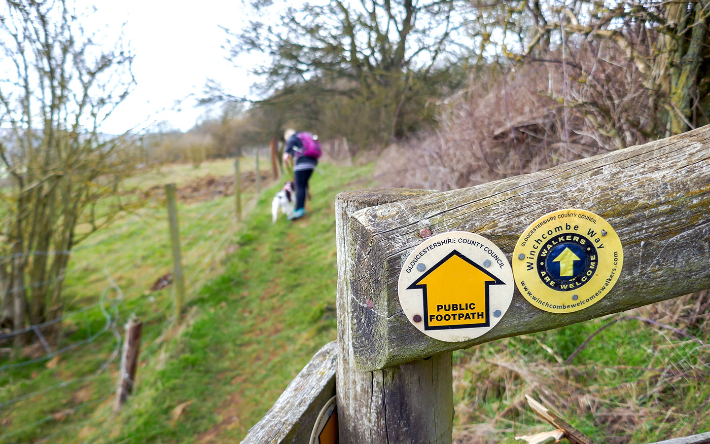
Winchcombe Way: 42 miles (circular)
Winchcombe > Dumbleton > Cleeve Hill > Winchcombe > Temple Guiting > Snowshill > Buckland > Stanton > Stanway > Hailes > Winchcombe
Winchcombe is one of the best places in the Cotswolds for walking, with miles of trails as well as an annual walking festival. And it also has its own long-distance walking route – the Winchcombe Way. The trail forms a figure of eight shape with Winchcombe at the centre. The loop design means it’s easy to split the trail across four days (or two if you’re looking for more of a challenge).
The Winchcombe Way’s western loop includes the village of Dumbleton, Belas Knap Long Barrow and panoramic views from Cleeve Hill. And the western route passes through Guiting Wood, Stanton village and historic landmarks Snowshill Manor, Stanway House and Hailes Abbey.
More information: Guidebook and GPX files

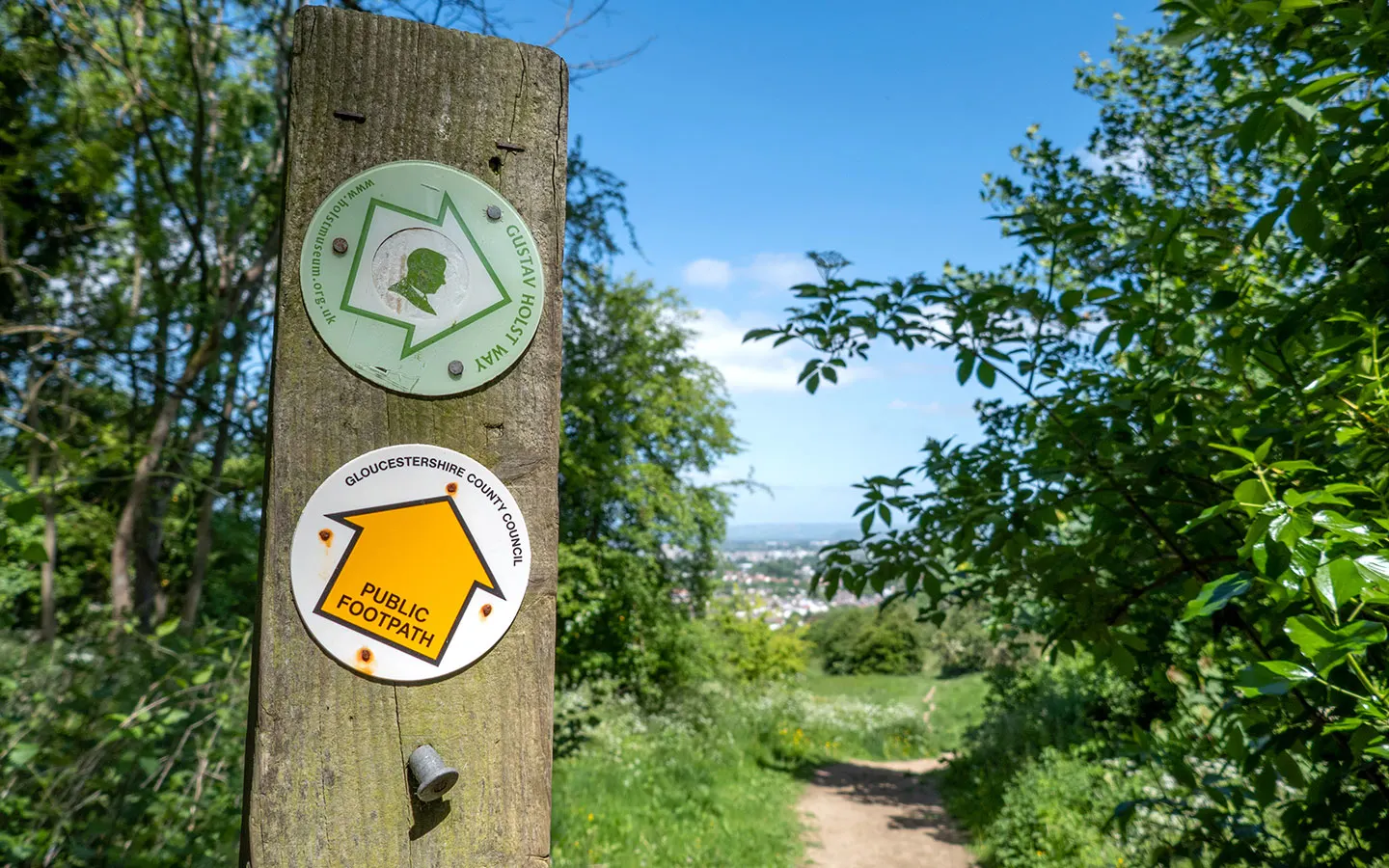
Gustav Holst Way: 34 miles
Cranham > Cheltenham > Guiting Power > Naunton > Bourton-on-the-Water > Wyck Rissington
The Gustav Holst Way celebrates the life of the Cheltenham-born composer of The Planets. It runs over 34 miles and normally takes two–three days. Holst was a keen walker and his hours roaming the Cotswold hills inspired his first orchestral work – Symphony in F: The Cotswolds.
The walk starts in the hamlet of Cranham, where Holst’s grandparents lived and his mother played the harmonium at the church. It runs through Cheltenham past the terraced house he was born in in 1874 (now the Holst Victorian House museum), Bourton-on-the-Water where he conducted the local choral society, to Wyck Rissington where he was organist and choirmaster in the 1890s.
More information: Guidebook* | GPX files

More long-distance walks nearby
As well as the long-distance routes which primarily cover the Cotswolds, there are also several others which are just outside the region or only include a small part of it:
Cheltenham Circular Footpath (25 miles): A circular route which starts and finishes at Pittville Pump Rooms in Cheltenham and runs in a loop around the edge of the town.
The Wychavon Way (40 miles): Created in 1977 to celebrate Queen Elizabeth II’s Silver Jubilee, it starts in Droitwich Spa and runs via Pershore and Bredon Hill before ending in Broadway.
Thames Path National Trail (184 miles): Follows the route of England’s most famous river from its source near Kemble to Cricklade and Lechlade then on towards Woolwich in London.


* This site contains affiliate links, where I get a small commission from purchases at no extra cost to you.
Save for later


You might also like