
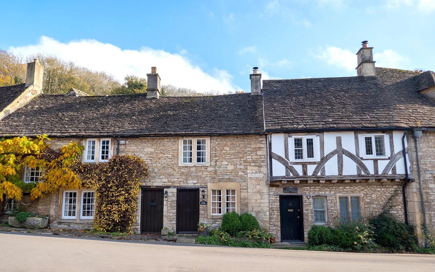
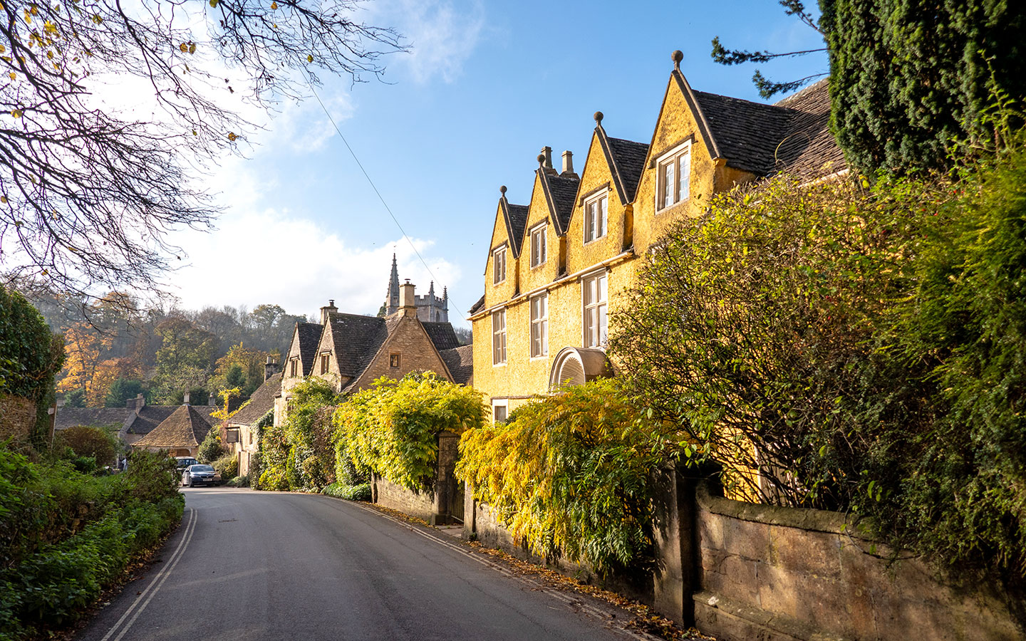
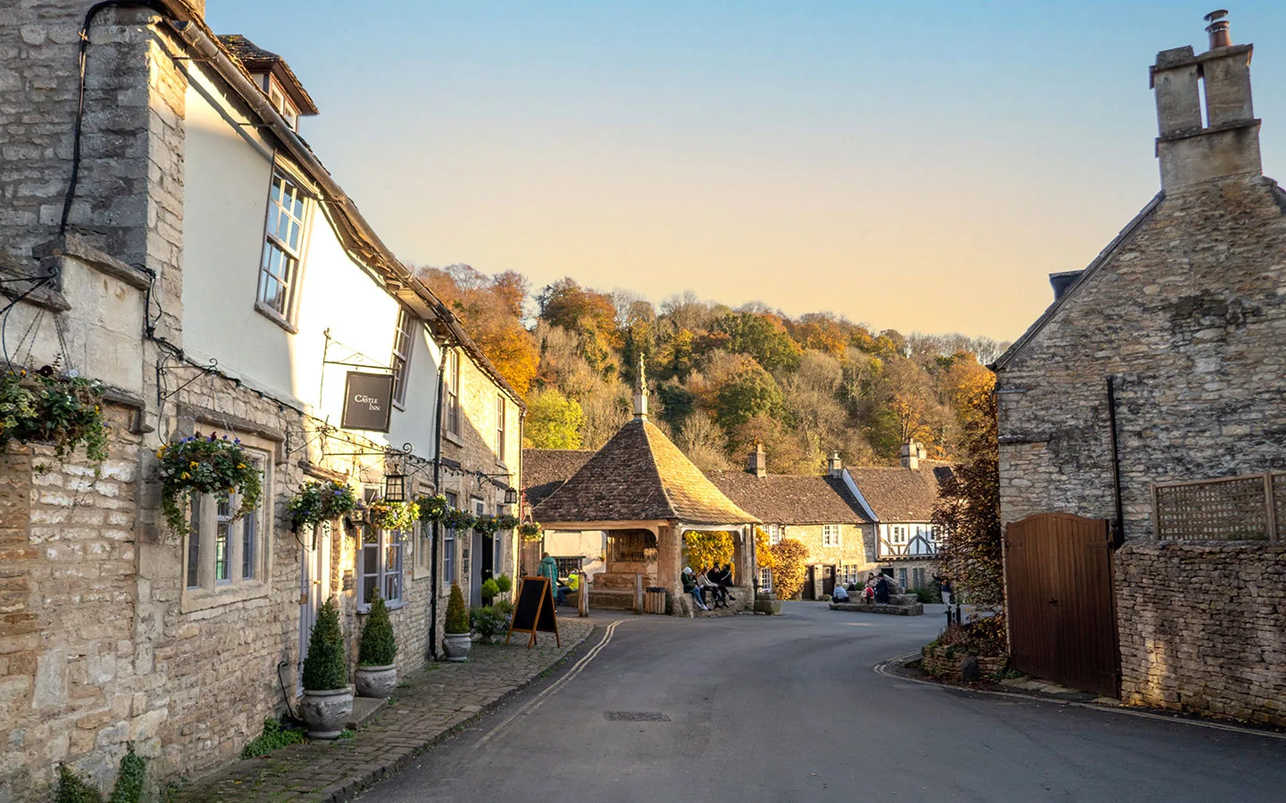
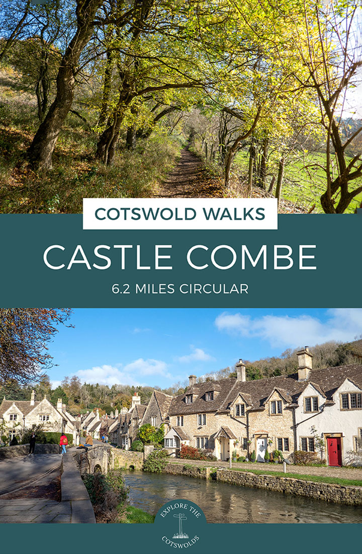
Head out into the countryside and escape the crowds in one of the region’s prettiest villages on this 6.2-mile/10km circular Castle Combe walk in the Cotswolds. Castle Combe’s historic buildings – with no street lights, telegraph poles or TV aerials – have made it a popular film location.
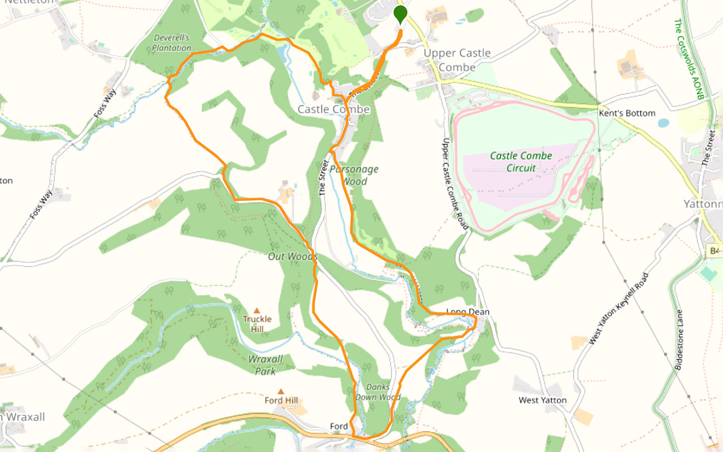
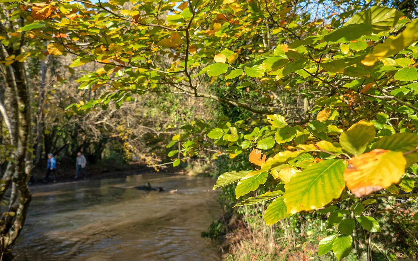
As well as visiting the village, the route runs along riverbanks and through woodland. The trail starts in Upper Castle Combe, and heads downhill and through Lower Castle Combe, crossing the famous Bybrook bridge and following the meandering river towards the hamlet of Long Dean.
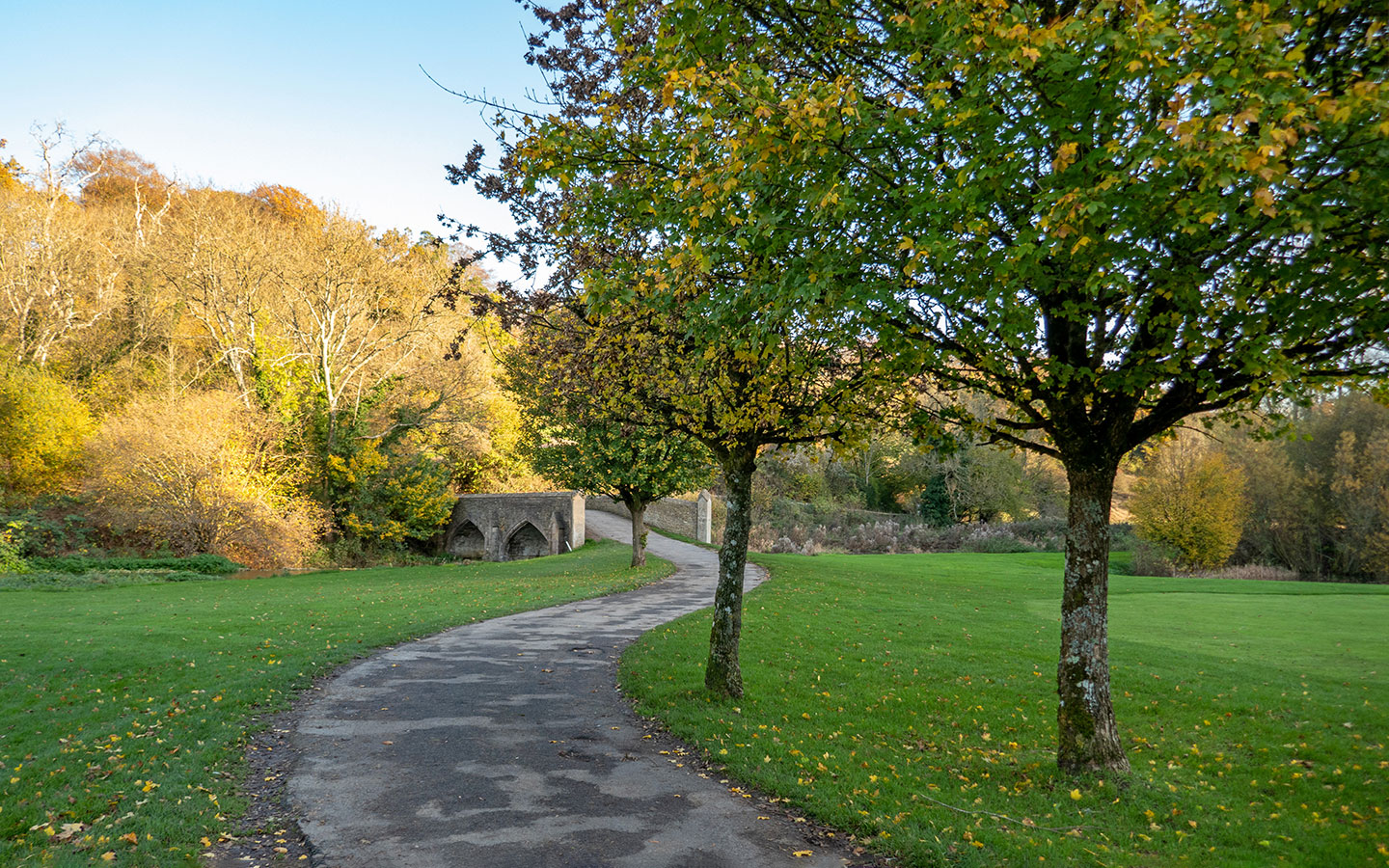
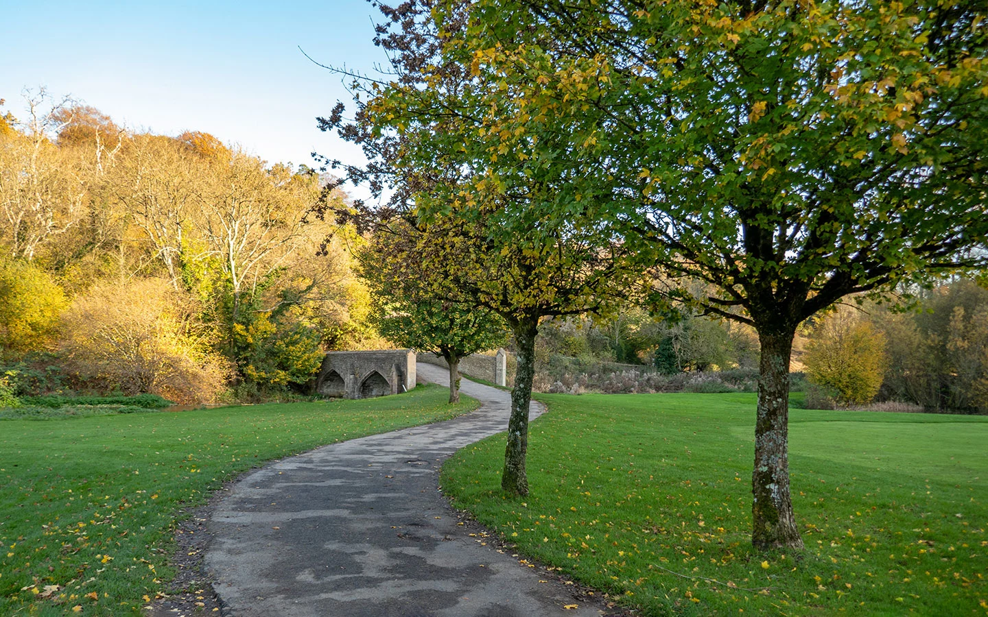
From there the route crosses fields towards the village of Ford before looping back through woodland and along the Broadmead Brook. The final stretch takes you across the well-manicured golf course at Castle Combe’s Manor House hotel before arriving back in the village.
This Castle Combe walk takes around 2.5–3 hours and is easy to moderate, with a few hills to climb. There’s a mix of dirt paths and some sections of road, and the route follows part of the Macmillan Way long-distance walk. It’s popular with dog-walkers (though you’re asked to keep them on the lead in some parts). And there are pubs in Castle Combe and Ford you can stop off at.

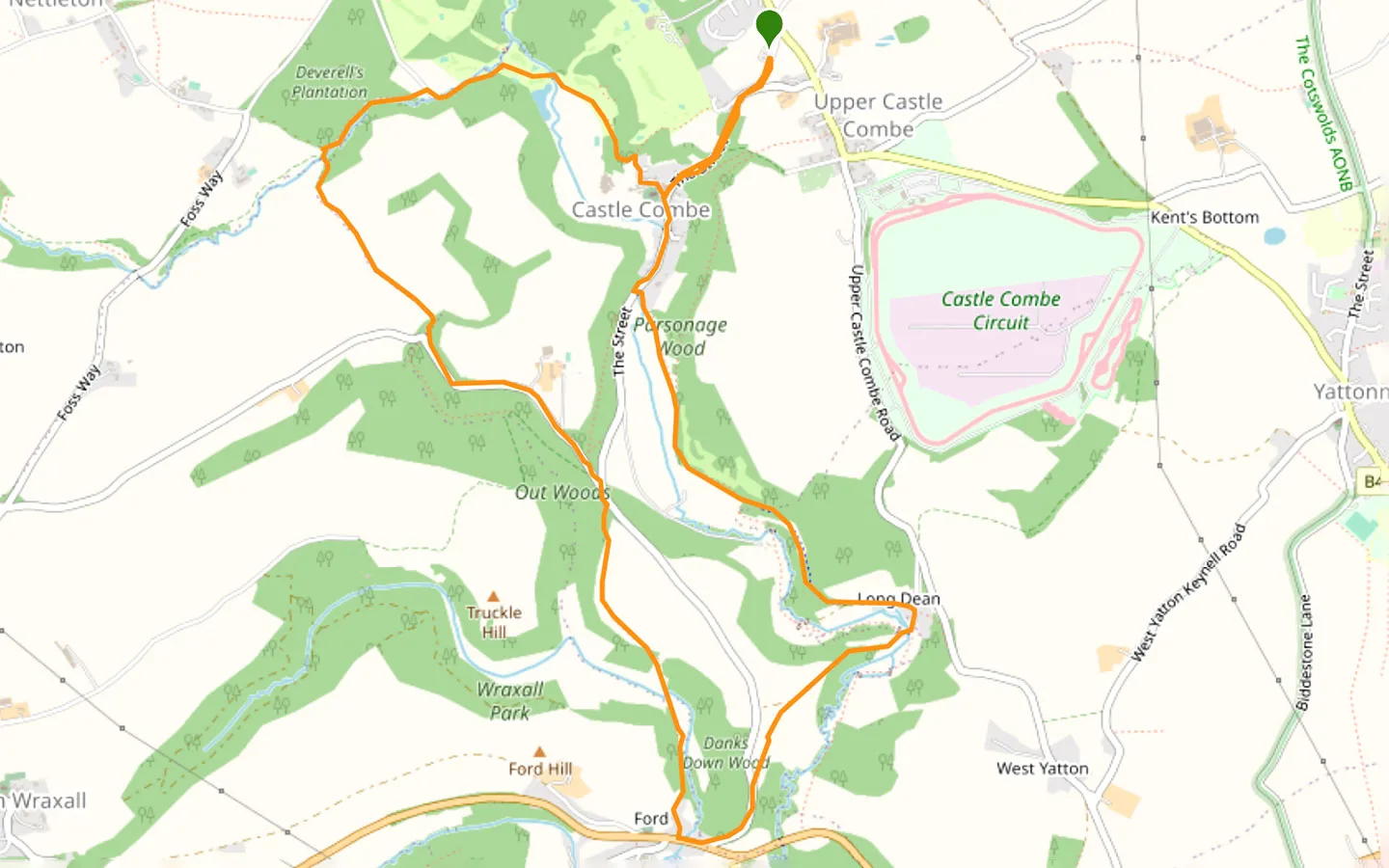
Castle Combe circular walk details and map
- Distance: 6.2 miles/10km (with a short cut to take it to 4.5 miles).
- Time: 2.5–3 hours.
- Elevation: 627 feet elevation gain.
- Difficulty: Easy to moderate.
- Paths: A mix of grass and dirt paths, some quiet country roads and a short stretch on pavement by the busy A420. Route from Upper to Lower Castle Combe is along the road with no verge.
- Accessibility: Two stiles, lots of kissing gates and a short steep climb.
- Map: 156 Chippenham & Bradford-on-Avon*
- Toilets: Free public toilets on The Street in Castle Combe, just past the Bybrook Bridge.
- Facilities: There’s the Castle Inn and White Hart pubs in Castle Combe as well as several tea rooms, plus some houses in the village open up as pop-up shops selling coffee and cake or ice creams. Or The White Hart pub in Ford is just a short diversion off the walking route.
Disclaimer: While we try to keep information up-to-date and accurate, Explore the Cotswolds cannot accept responsibility for errors or omissions. Walks are undertaken at your own risk, and we are not liable for any personal injury, loss or damage that may occur.
Click on the map above to be taken to Wikiloc, a free app where you can download a map and GPS directions for the Castle Combe circular walk.
Start/finish point
The starting point for the walk is the car park on Dunns Lane in Upper Castle Combe (SN14 7HH). There are around 90 parking spaces, which do fill up at weekends and in the summer. The car park was free until recently but is now pay and display (charging £2 for up to three hours).
If you’re travelling by public transport, the nearest train station is in Chippenham. From there you can take the Faresaver 95/95A bus to Castle Combe, which takes around 20 minutes. The bus runs on Monday–Saturday year-round plus on Sundays and bank holidays from April to August.
The bus stops at the Market Cross in the main village, so you can avoid walking up and down the hill to Upper Castle Combe, which cuts the route down by just under a mile.

Castle Combe circular walk route
Stage 1: Castle Combe to Ford
Start your walk in the car park in Upper Castle Combe (unless you’re travelling by public transport, in which case you can join the route at the Market Cross below). Walk down the steps from the car park and follow the road downhill, which is signposted ‘Lower Village’. This road can be quite busy and has no pavement so be prepared to duck out of the way of passing cars.
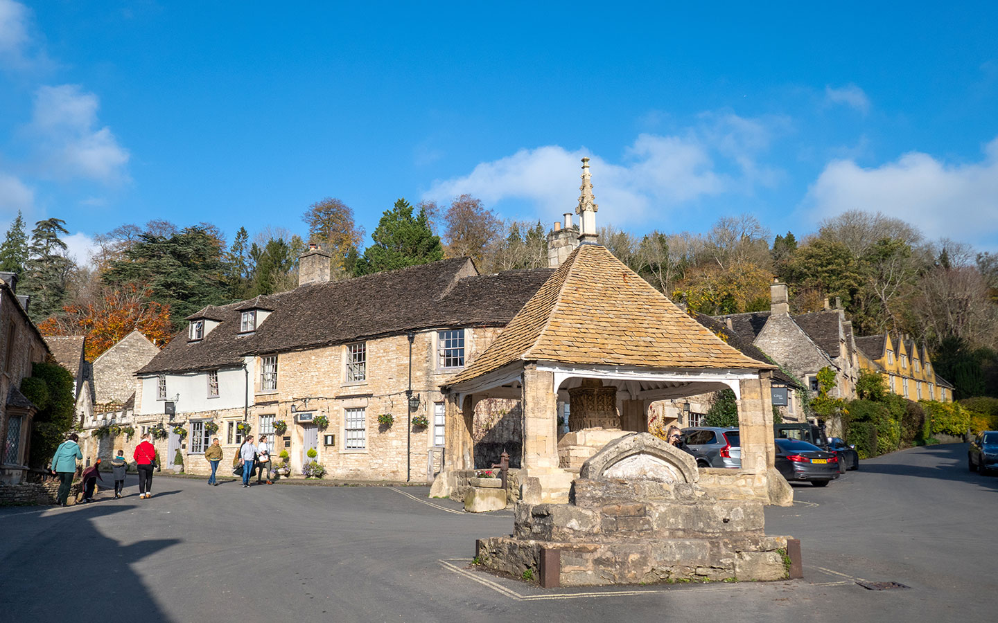
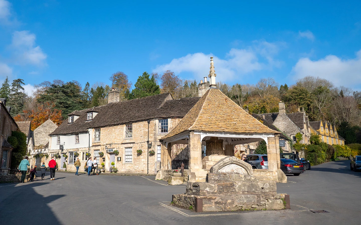
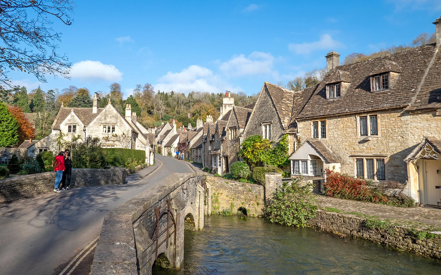
When you reach the Market Cross in Lower Castle Combe, turn left and walk down The Street. The road crosses the picturesque Bybrook Bridge, Castle Combe’s most photographed spot.
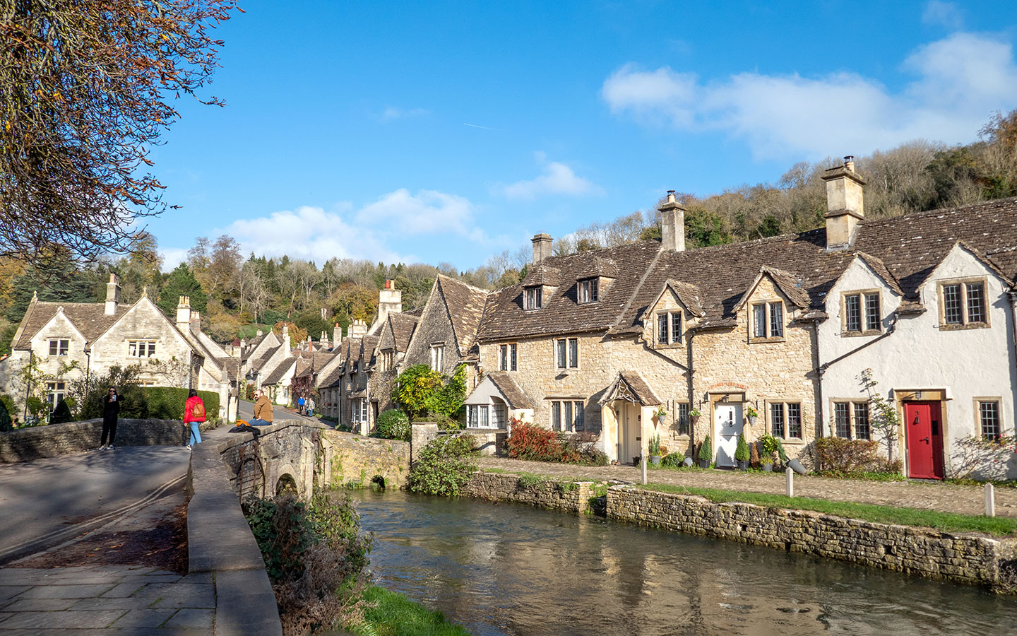

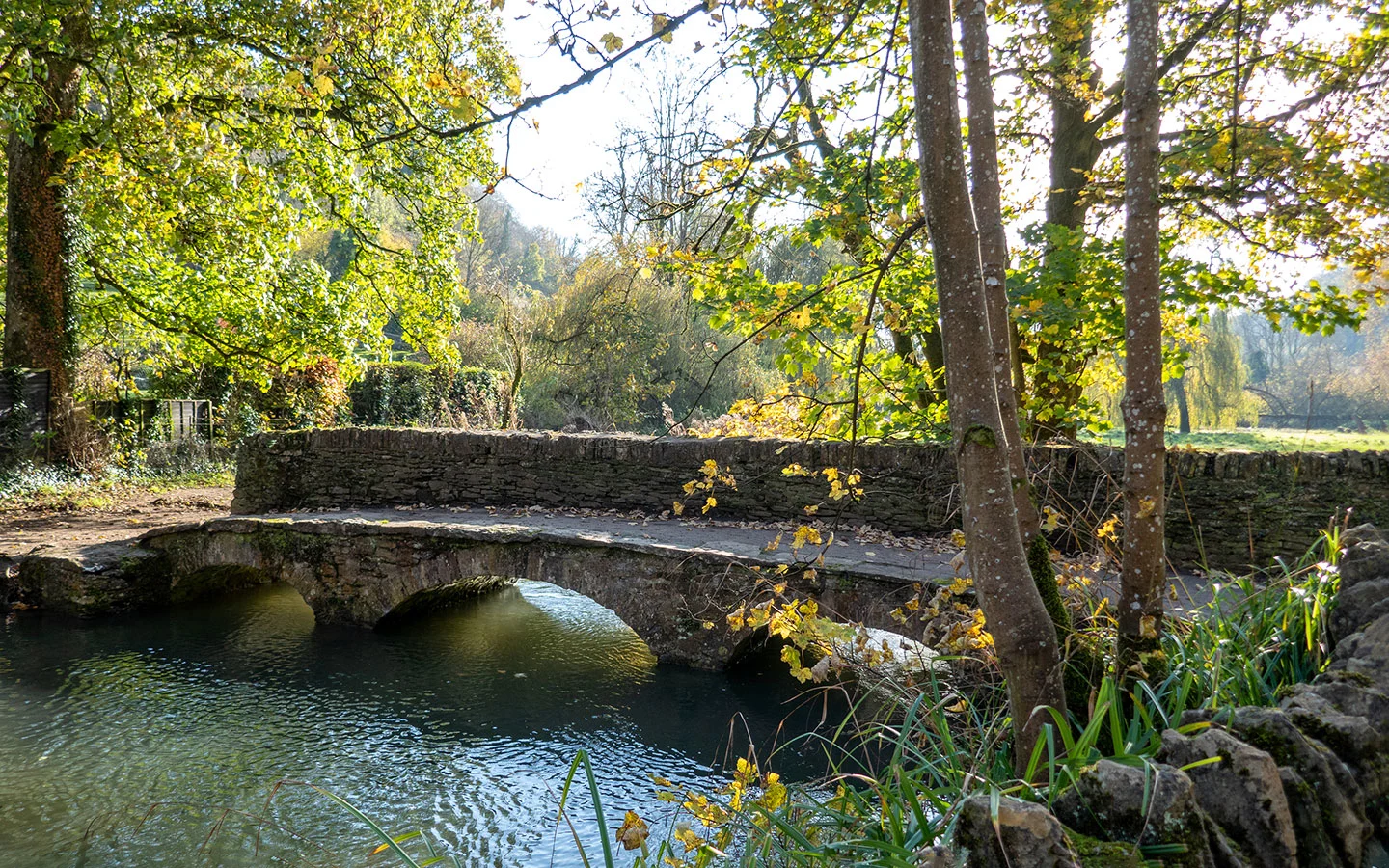
Carry on along the path by the river (there are toilets on the right if you need them). You’ll pass a gated bridge marked ‘Brook House’ on your left and then a stone bridge. Walk over this second bridge and follow the footpath ahead through a kissing gate with a Macmillan Way sign.
The Macmillan Way was designed to raise money for Macmillan Cancer Support and is a 287-mile long-distance walking route from Boston in Lincolnshire to Abbotsbury in Dorset.

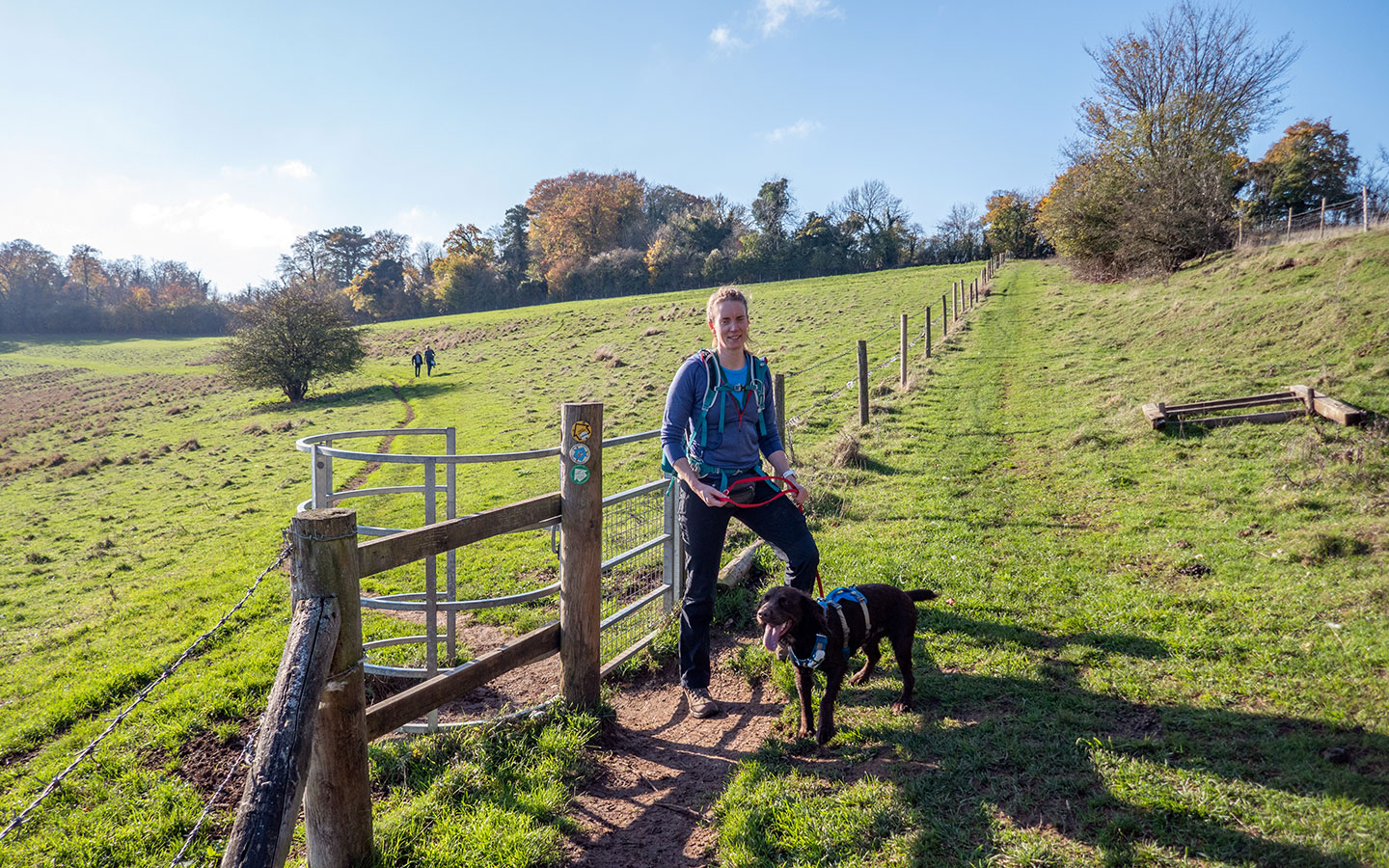
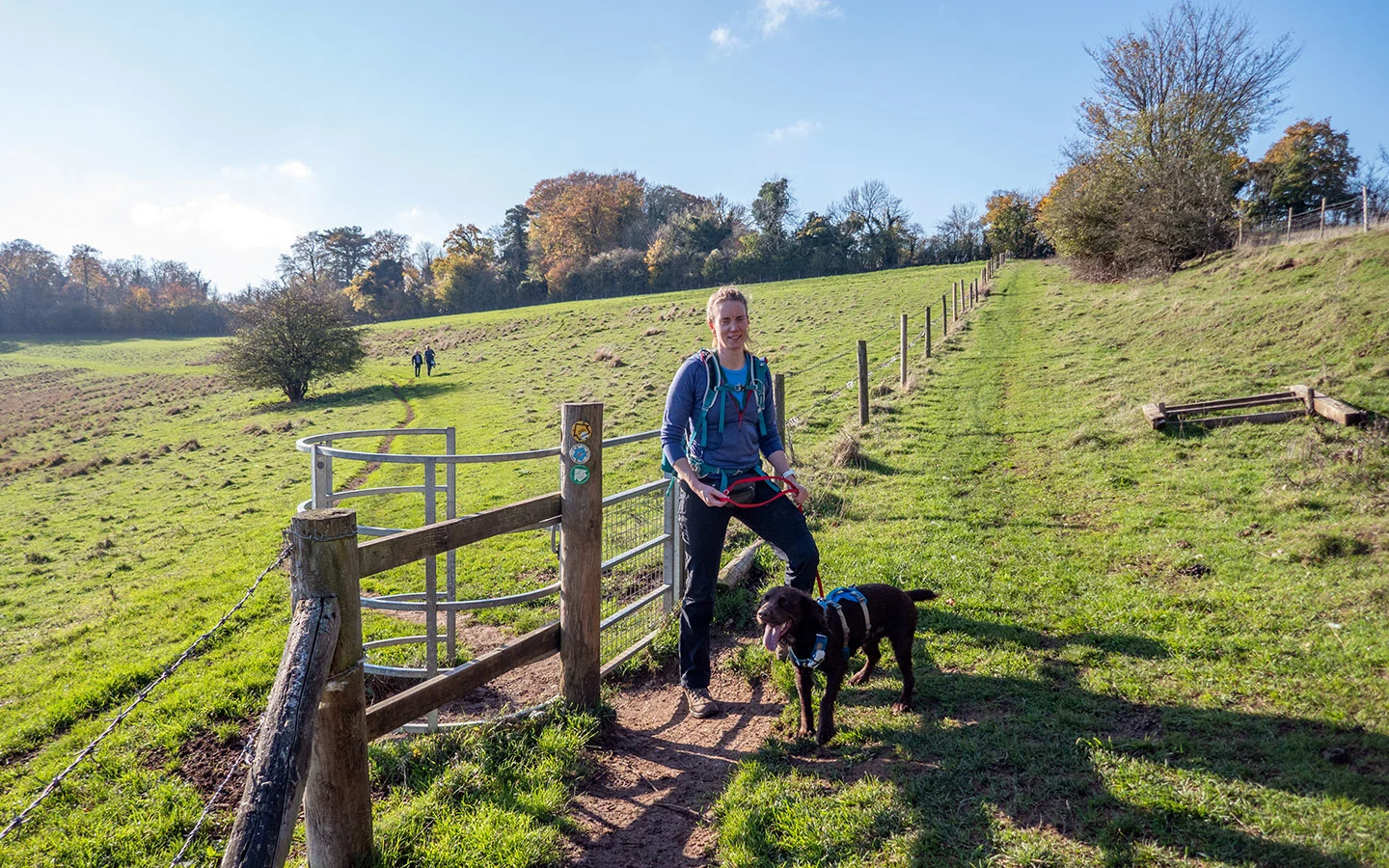
Our walk runs along the hillside with the By Brook down below to the right. Look out for a cut tree on your left – the end has a tiny secret door and a sign for ‘The Hollow’. The path crosses over two stiles before merging onto small, stony track into the hamlet of Long Dean.
Turn to the right when you reach the houses and you’ll see a metal signpost – take the route towards Ford, signposted with a blue bridleway and public footpath sign. Follow this path over a bridge and uphill through woodland. Then go through a metal gate (with signs warning of sheep) and through a kissing gate marked with a Macmillan Way sign that leads across an open field.
Once you reach the trees, the path goes through another kissing gate and joins onto a small road. Follow the road to the left downhill where it merges into the busy A420 just after a ‘Give Way’ sign. Turn right and walk along the pavement towards the village of Ford.
After 100 metres, take the first road to the right and follow the track between ‘The Old Post Office’ and ‘Church Farm House’. Or you can do a short diversion to The White Hart pub – just carry on along the main road for another 50 metres then take the turning off to the left.

Stage 2: Ford to Castle Combe
Follow the track between the two houses until you reach a wooden gate, then take the kissing gate just to the left of the gate and follow the public footpath sign. It runs through the woods then goes off to the right across an open grassy area, marked with a public footpath signpost.
Go through the gate at the end of the field and cross the small bridge to the right over the stream. The path heads steeply uphill – with a bench partway up where you can catch your breath – before emerging at the top and running along a ridge until it meets a road junction.

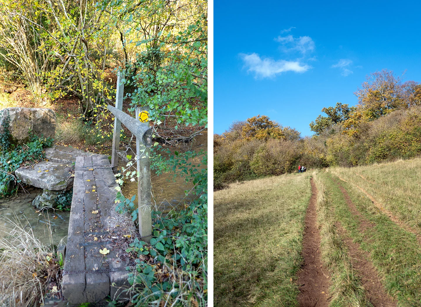
Take the road to the left marked ‘North Wraxhall, West Kington’ (or if you want a shorter walk you could take the road downhill marked ‘Castle Combe’ and follow it into the village, which would cut the route down to 4.5 miles) and follow the road, which is usually fairly quiet. After 850 metres, just before the road does a hairpin turn to the left, turn off to the right onto the public bridleway.
Follow the track until you reach a stretch of water – Broadmead Brook. Cross over the stone bridge and take the path to the right, which goes through a kissing gate. Soon after go through another kissing gate on the right which has a yellow public footpath sign (this bit can be muddy).

The path joins onto a small road next to Nettleton Mill. Turn right and walk past the garages and you’ll see an ornate metal gate ahead of you. Go around to the right of the gate and through a kissing gate, then stay on this path until you reach The Manor House hotel golf course.
Follow the concrete path to the right over the golf course (watch out for buggies and flying balls!) which runs across a stone bridge. Then turn right and follow the path – shortly you’ll see a red ‘Private Property No Entry’ sign with an arrow pointing to a public footpath to the left.
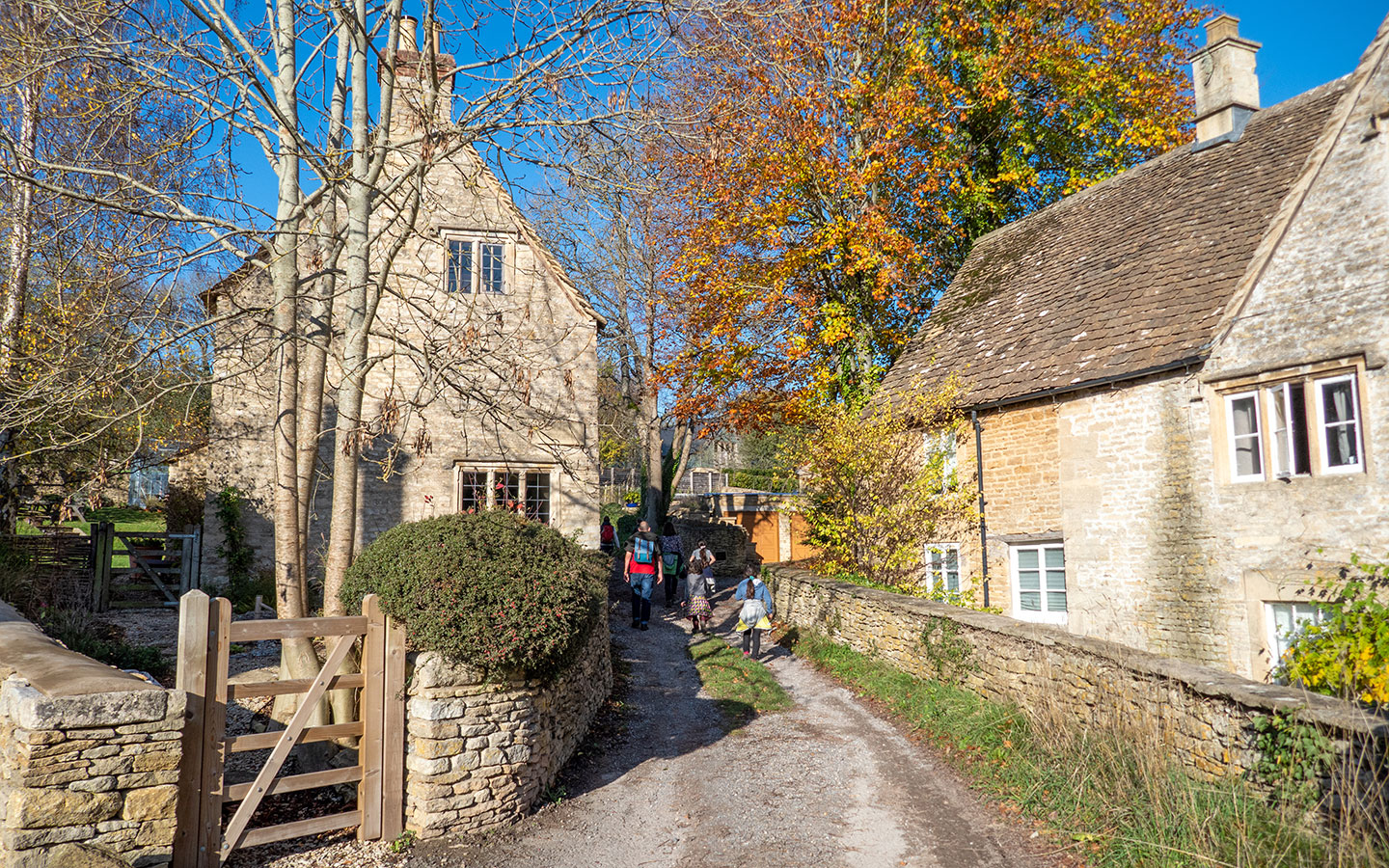
Take this footpath, then once you pass a high stone wall on your right you’ll see a wooden gate to your left with a Macmillan Way marker. Follow the path through the gate, down some steps and under an archway until you join the road, with St Andrew’s Church in front of you.
Walk down the road as it curves to the left and go under another archway where you’ll see the Market Cross ahead of you. You’re right next to the Castle Inn and White Hart pubs if you want to stop off. Otherwise retrace your steps back up the hill to Upper Castle Combe car park.

* This site contains affiliate links, where I get a small commission from purchases at no extra cost to you.
Save for later

You might also like


Jane
Thursday 30th of April 2026
Absolutely enjoyed it! As someone else mentioned, the descriptions and pics were super helpful, easy to follow. What a great walk, with nice landscapes and quiet woods... and a car park for starting point, perfect. Absolutely loved it, thumbs ups to the author for this. 100% recommend
Lucy Dodsworth
Sunday 3rd of May 2026
Thanks Jane, that's great to hear that you liked it!
Claire
Thursday 3rd of August 2023
What a fantastic walk. The descriptions of the route were super helpful and clear to follow. Highly recommended.
Lucy Dodsworth
Monday 7th of August 2023
Thanks so much, great to hear you enjoyed it!