
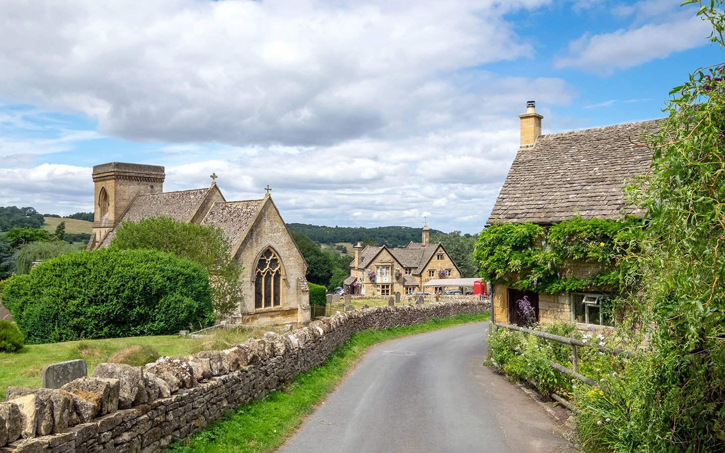
What makes a good pub walk? Scenic views, picturesque villages and most importantly a good country pub – all things the Cotswolds does brilliantly. There’s no better way to see the region than on foot, and we’ve chosen 10 of the best pub walks in the Cotswolds, ranging from 5.3–7.2 miles.
All walks are circular and have pubs partway along the route, so you don’t have to wait until the end for a hearty lunch or pint of local ale. And they start and finish in towns and villages which have great pubs too. Walks are all also accessible by public transport if you don’t want to drive.
We’ve also listed some shorter walks at the end of the post which don’t have a pub along the route, but they do have them at the start/end point if you’d rather do your walking first.


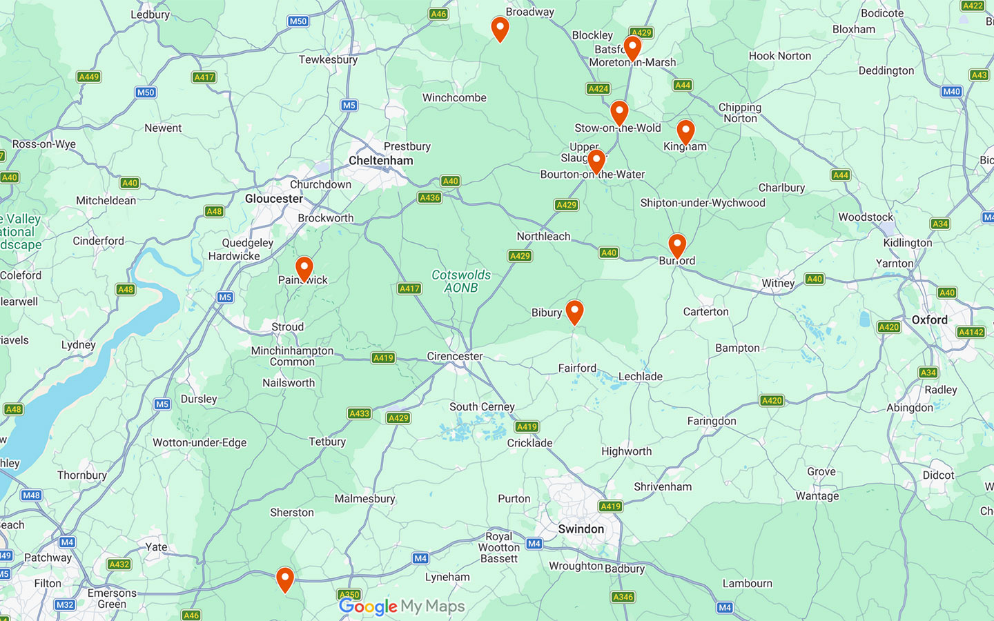
Map of pub walks in the Cotswolds
Stow-on-the-Wold to Lower Swell (5.3 miles)
Starting in Stow-on-the-Wold, this is a peaceful, lesser-known Cotswold walk with a traditional country pub along the way. It starts by following the Gloucestershire Way towards Upper Swell where you can visit tiny St Mary’s Church, then continues through the grand Abbotswood Estate, a 774-acre property featuring a manor house and gardens designed by Edwin Lutyens.
You then follow the River Dikler to Lower Swell, where The Golden Ball is 100 metres off the route, serving sandwiches, pub food and Donnington Ales. From there the walk runs across fields and farmland, though the village of Maugersbury and finally loops back into Stow.
- Distance: 5.3 miles/8.6km circular.
- Walking time: 2–2.5 hours.
- Start/finish point: Stow-on-the-Wold Market Square (GL54 1AF).
- Access: Free parking at the Fossway car park (GL54 1BX). Or the Pulhams 801 bus (every day) runs from Moreton-in-Marsh or Cheltenham to Stow.
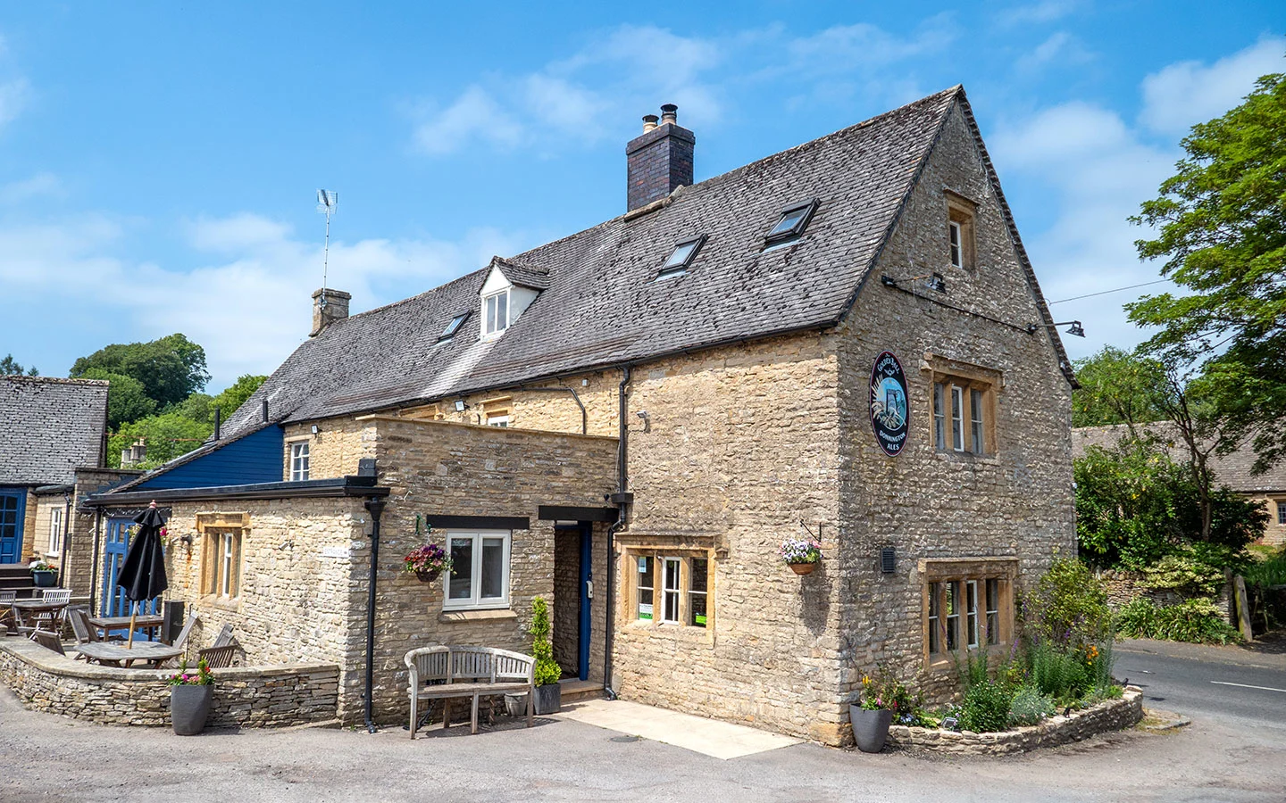
- Pub: The Golden Ball in Lower Swell (2 miles into the walk – closed Mondays/Tuesdays).
- Map and directions

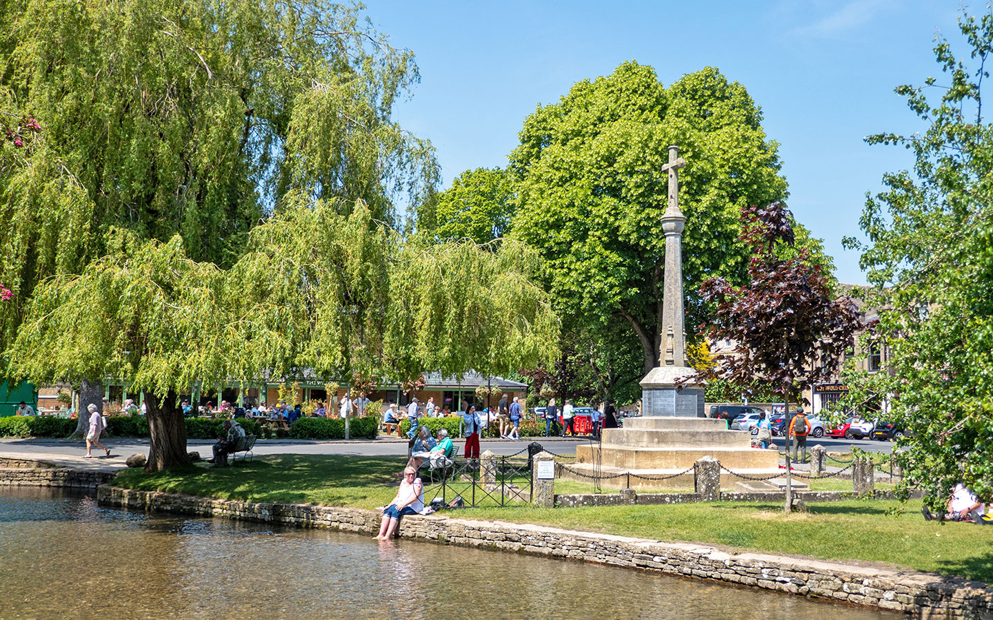
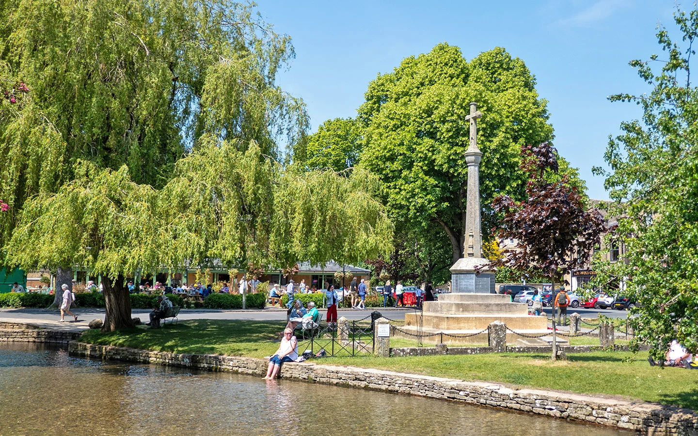
Bourton-on-the-Water to the Slaughters (5.4 miles)
This scenic walk from Bourton-on-the-Water has to be one of the most popular pub walks in the Cotswolds, visiting the pretty villages of Upper and Lower Slaughter. Leaving busy Bourton behind, you head west along the River Windrush before cutting across fields to Upper Slaughter (where you can have lunch at The Lords of the Manor hotel if you prefer fine-dining to pub food).
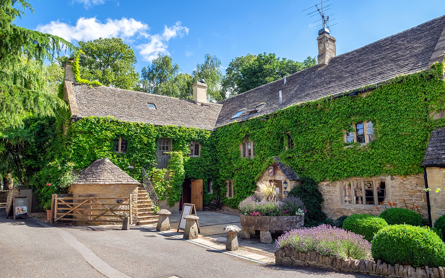
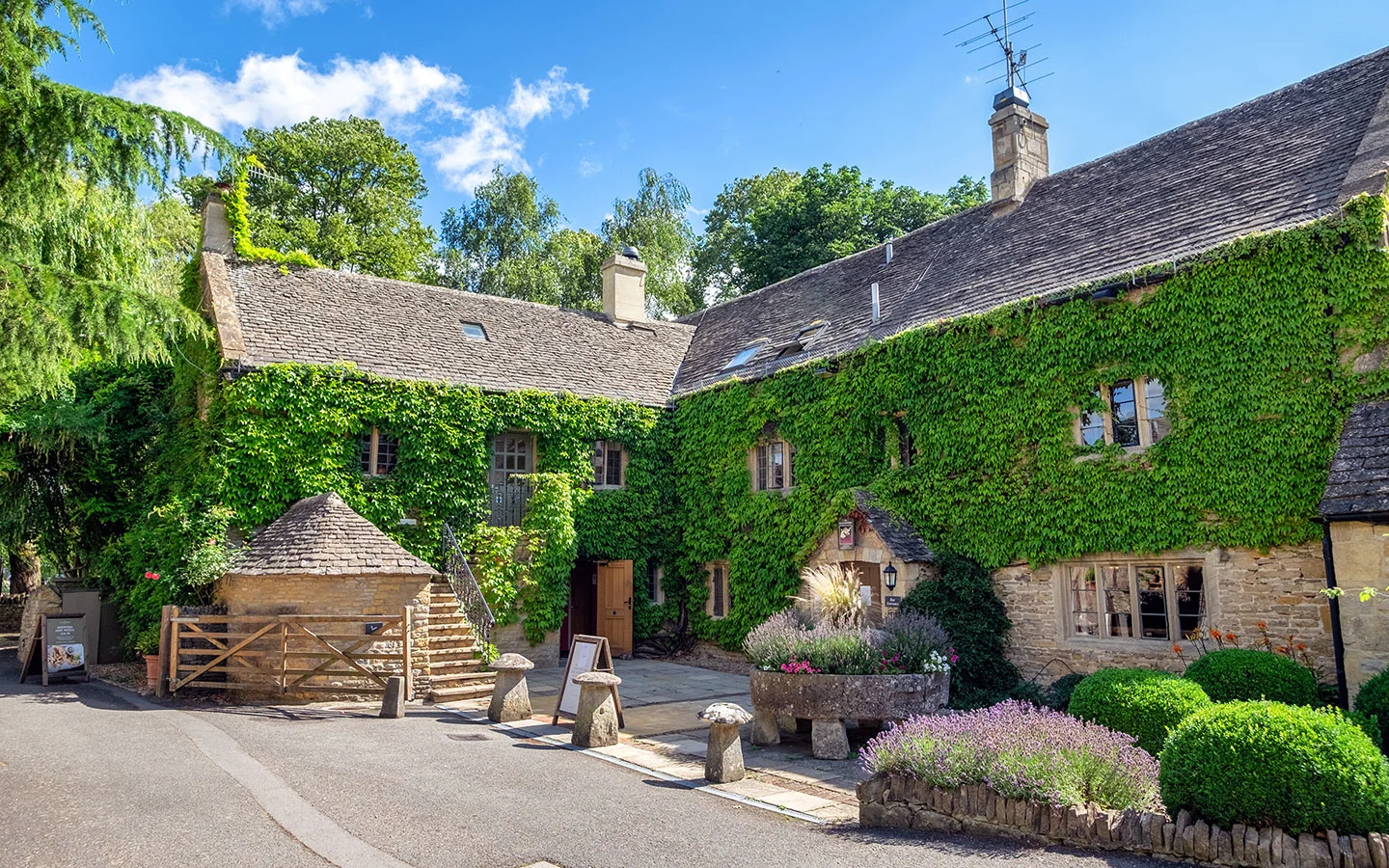
From Upper Slaughter, follow the River Eye to Lower Slaughter where The Slaughters Country Inn has a riverside terrace and cosy fires in winter. As well as a bar and restaurant, their outdoor Field Kitchen serves sandwiches and ice creams. Then it’s a short walk back to Bourton.
- Distance: 5.4 miles/8.6km circular.
- Walking time: 2.5 hours.
- Start/finish point: Bourton-on-the-Water war memorial (GL54 2AN).
- Access: Paid parking at Bourton Vale car park (GL54 2LU). Or the Pulhams 801 bus (every day) connects Bourton with Moreton-in-Marsh and Cheltenham.
- Pub: The Slaughters Country Inn in Lower Slaughter (3.8 miles in).
- Map and directions
Kingham to Daylesford (5.9 miles)
Foodie favourite Kingham is home to two top Cotswold pubs, but this walk takes you out of the village into the surrounding countryside. It’s just a short walk from Kingham to Bledington, where The Kings Head Inn serves hearty lunches in a gorgeous setting on the village green.
From Bledington you loop northwards, following the Diamond Way and River Evenlode across farmland and past woodland to the Daylesford estate. The estate is home to a celeb-favourite farm shop selling organic fruit, vegetables, cheeses and meats – as well as cafés and restaurants if you’re still hungry. Then it’s around an hour’s walk back to Kingham along farm tracks.
- Distance: 5.9 miles/9.4km circular.
- Walking time: 2.5–3 hours.
- Start/finish point: St Andrew’s Church in Kingham (OX7 6YA).
- Access: On-street parking in Kingham and a pay and display car park at Kingham train station. The station is around a mile south of Kingham village.
- Pub: The Kings Head Inn in Bledington (1.4 miles in) and Daylesford Organic (3.9 miles in).
- Map and directions


Stanton to Snowshill (6 miles)
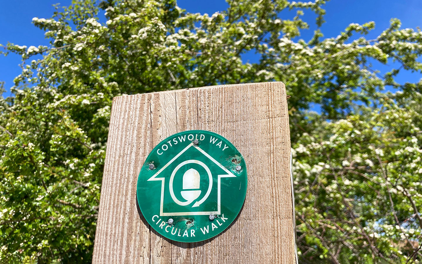
Fancy walking a stretch of the Cotswold Way, the 102-mile walking route between Chipping Campden and Bath? This circular route gives you a taste of one of the Cotswold Way’s most scenic sections, beginning in the village of Stanton then climbing east up Shenberrow Hill.
You leave the Cotswold Way behind to walk through peaceful Littleworth Woods on the way to the village of Snowshill. As well as 16th-century Snowshill Manor, the village is home to the Snowshill Arms pub which serves real ales and big portions of pub grub. Afterwards, you rejoin the Cotswold Way with views of Stanton and across the Severn Vale on the way back to the start.
- Distance: 6 miles/10km circular.
- Walking time: 3–3.5 hours.
- Start/finish point: East end of the High Street in Stanton (WR12 7NF).
- Access: Parking at the Stanton Village Club (WR12 7NE). Or the Pulhams 606 bus runs from Cheltenham to Stanton, stopping on the B4632, an 18-minute walk away.
- Pub: Snowshill Arms (2.7 miles in).
- Map and directions

Burford to Swinbrook (6.2 miles)
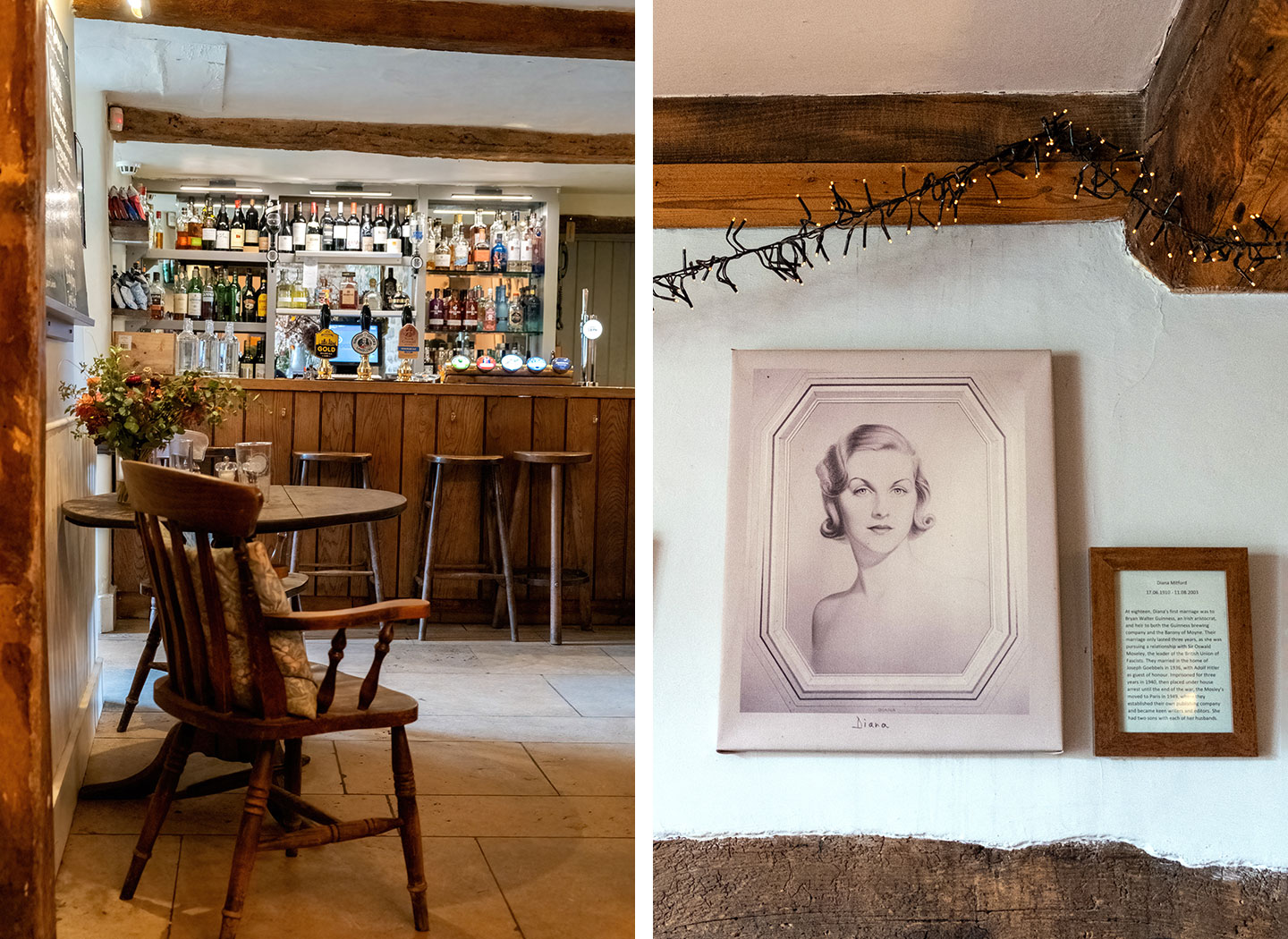
Explore the Windrush Valley east of Burford on this circular walk, which starts by crossing Burford’s medieval bridge on its way to the village of Fulbrook, then loops around to Swinbrook. The Swan Inn is around 400 metres off the route and has a 2 AA Rosette restaurant. It was once owned by Deborah Mitford, the oldest of the six Mitford sisters who became notorious in the 1930s.
You can see the graves of four Mitford sisters in Swinbrook Church. Then walk across fields to tiny Widford Church, the last remaining building from a lost medieval village with original wall paintings. Finally, pick up the riverside path and follow the Windrush back into Burford.
- Distance: 6.2 miles/10km circular.
- Walking time: 2.5–3 hours.
- Start/finish point: Burford war memorial on the High Street (OX18 4QY).
- Access: Free parking at the Guildenford car park (OX18 4SE). Or the Pulhams X52 bus (every day) runs from Cheltenham and Oxford to the Oxford Road Layby in Burford.
- Pub: The Swan Inn in Swinbrook (3.8 miles in).
- Map and directions
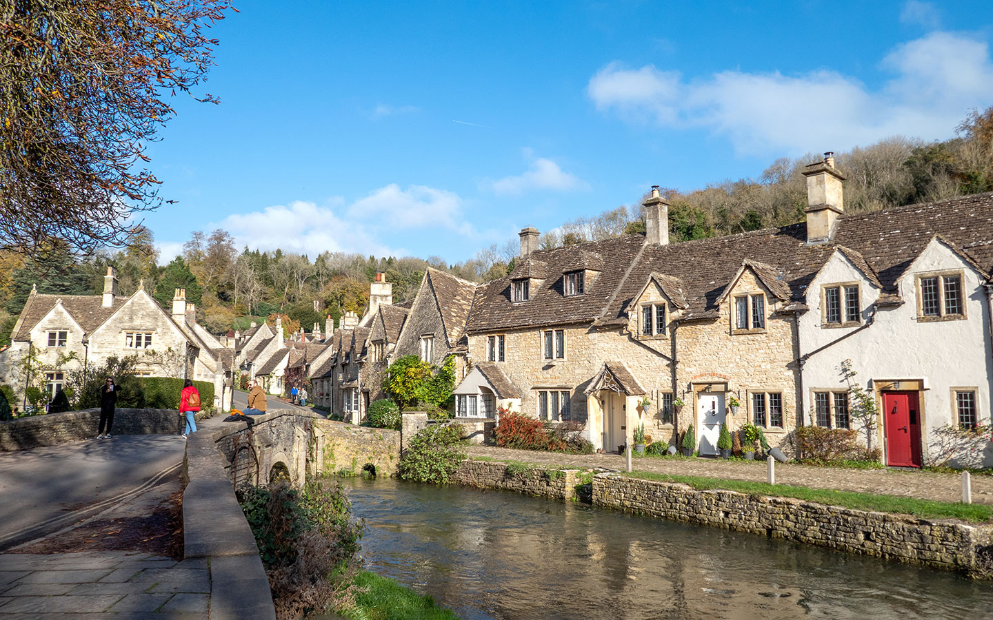
Castle Combe (6.2 miles)
Explore the countryside around Castle Combe on this Cotswold pub walk. The trail starts in Upper Castle Combe and heads downhill through the lower part of the village, which was used as a film location for War Horse and Stardust. After crossing the much-photographed Bybrook bridge, you leave the crowds behind and follow the river towards the hamlet of Long Dean.
Once you reach the village of Ford, you can do a 150-metre diversion to The White Hart, a 16th-century coaching inn serving classic pub food. Then walk through woodland and along the Broadmead Brook before crossing The Manor House hotel golf course into Castle Combe.
- Distance: 6.2 miles/10km circular (with a short cut to take it to 4.5 miles).
- Walking time: 2.5–3 hours.
- Start/finish point: The car park on Dunns Lane in Upper Castle Combe (SN14 7HH).
- Access: Paid parking at Dunns Lane car park (SN14 7HH). Or the Faresaver 95/95A bus (Monday–Saturday) runs from Chippenham to Castle Combe.
- Pub: The White Hart pub in Ford (2.7 miles in).
- Map and directions

Coln St Aldwyns to Bibury (6.7 miles)
Visit beautiful Bibury without having to worry about finding a parking space on this circular walk which begins in the nearby village of Coln St Aldwyns. The route heads out of the village and along the Palladian Way long-distance walking route, running through farmland to Bibury, where you pass the famous Arlington Row weavers’ cottages and the Rack Isle Water Meadows.
There’s a choice of places to stop off in Bibury, with The Catherine Wheel pub, the more upscale Swan Hotel restaurant and several cafés, including Eleven Bibury right on the route. Then follow the River Coln as it winds its way through the valley from Bibury back to Coln St Aldwyns.
- Distance: 6.7 miles/10.8km circular.
- Walking time: 3 hours.
- Start/finish point: The Community Stores in Coln St Aldwyns (GL7 5AN).
- Access: On-street parking in Coln St Aldwyns. Or The Robin bookable minibus (Monday–Saturday) from Cirencester or Kemble train station to Coln St Aldwyns.
- Pub: The Catherine Wheel and The Swan Hotel in Bibury (3.5 miles in).
- Map and directions
Moreton-in-Marsh to Blockley (6.9 miles)
This country walk from Moreton-in-Marsh visits the village of Blockley, which is one of the main filming locations for the BBC TV series Father Brown. Leaving Moreton behind, the route runs along the edge of Batsford Arboretum, which is extra beautiful in autumn. It climbs up onto a ridge where you get great views of Blockley down below, before descending into the village.
Blockley has two pubs to choose from, The Great Western Arms and The Crown Hotel, plus a village shop and café. From there you climb back up the ridge through farmland, passing through the village of Batsford where you can stop to visit St Mary’s Church before returning to Moreton.
- Distance: 6.9 miles/11km circular.
- Walking time: 3 hours.
- Start/finish point: Junction of the High Street and Corders Lane in Moreton-in-Marsh (GL56 0AH).
- Access: Paid parking at the Old Market Way car park (GL56 0JY). Or train to Moreton.
- Pubs: The Great Western Arms (lunch on Fridays–Sundays only) and The Crown Hotel in Blockley (3.4 miles in).
- Map and directions

Moreton-in-Marsh to Longborough and Bourton-on-the-Hill (7 miles)
This second Cotswold pub walk from Moreton-in-Marsh comes with not one but two great Donnington Brewery pubs on the route, so you can choose which you prefer – or try them both. The trail follows the Monarch’s Way south of Moreton towards the village of Longborough, known for its summer opera festival, where you’ll find traditional Cotswold pub The Coach and Horses.
From Longborough the route heads north, passing the unusual Indian-inspired Sezincote House and Gardens towards Bourton-on-the-Hill and The Horse and Groom, a popular gastropub. Then finally you walk along the edge of Batsford Arboretum on the way back into Moreton.
- Distance: 7 miles/11.2km circular.
- Walking time: 3 hours.
- Start/finish point: Outside The Swan Inn (GL56 0LL) in Moreton-in-Marsh.
- Access: Paid parking at the Old Market Way car park (GL56 0JY). Or train to Moreton.
- Pubs: The Coach and Horses in Longborough (2.7 miles in – no food on Mondays) and The Horse and Groom in Bourton-on-the-Hill (4.6 miles in).
- Map and directions

Painswick to Slad (7.3 miles)
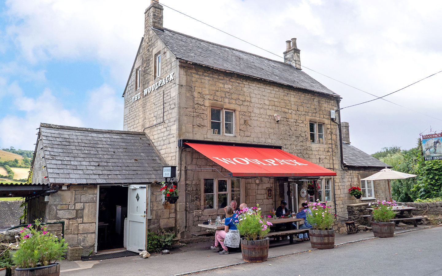
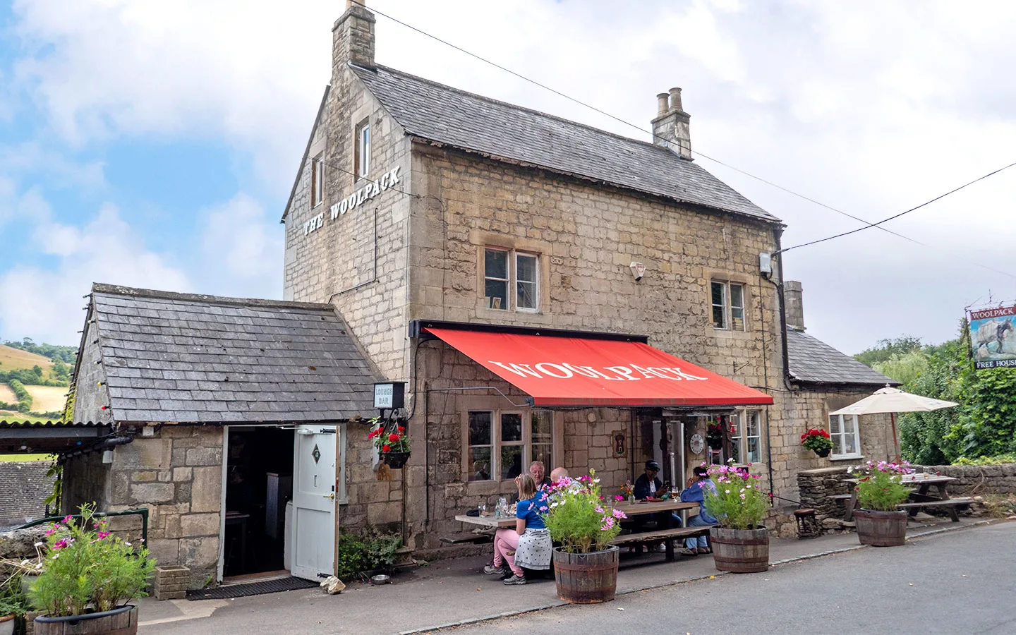
Walk through the Slad Valley countryside which inspired local author Laurie Lee’s book Cider with Rosie and visit his favourite pub on this circular walk from Painswick. The route follows the Painswick Stream out of the village and crosses fields and woodland on its way to Slad.
You can do a 500-metre diversion to The Woolpack at this point or wait until later. This cosy pub comes with great views and top-rated dining. From Slad the route heads up the other side of the valley, passing a nature reserve rich in wildflowers and the hamlet of Elcomb then looping back to Slad. Then there’s another chance to visit The Woolpack before returning to Painswick.
- Distance: 7.3 miles/11.7km circular.
- Walking time: 3–4 hours.
- Start/finish point: St Mary’s Church in Painswick (GL6 6XH).
- Access: Paid parking at the Stamages Lane car park (GL6 6UZ). Or the Stagecoach 66 bus (every day) runs from Stroud or Cheltenham to Painswick.
- Pub: The Woolpack Inn in Slad (3.8 or 5.8 miles in – no food on Mondays).
- Map and directions
Shorter walks with a pub at the end
Looking for more Cotswold pub walk ideas? These shorter walks range from 3.7–5.1 miles (taking 1 hour 45 minutes to 2.5 hours) and don’t have pubs along the route, but they all start/end in towns with plenty of places to eat and drink. So you could walk first then have lunch afterwards.
- Winchcombe and Sudeley Castle (3.7 miles circular)
- Chipping Campden to Dover’s Hill (4.1 miles circular)
- Broadway to the Broadway Tower (4.4 miles circular)
- Painswick to Painswick Beacon (4.4 miles circular)
- Bourton-on-the-Water to Wyck Rissington (4.6 miles circular)
- Winchcombe to Belas Knap (5.1 miles circular).
You can find our recommendations for the best pubs in Winchcombe, Chipping Campden, Broadway, Painswick and Bourton-on-the-Water in our town and village guides.
* This site contains affiliate links, where I get a small commission from purchases at no extra cost to you.
Save for later
You might also like


Sue Bax
Saturday 9th of May 2026
Do you stay at the pubs overnight or bnb nearby?
Lucy Dodsworth
Monday 11th of May 2026
Hi Sue, most of the pubs on the walks have accommodation but I've usually stayed at the starting point town or villages which has a bigger choice, usually with a mix of pubs, BnBs and hotels.