Combine historic market town architecture and panoramic hilltop views on this 4.1-mile/6.6km Chipping Campden to Dover’s Hill walk. The trail starts in the centre of Chipping Campden and takes you along the first stretch of the Cotswold Way – a 102-mile walking route between Chipping Campden and Bath – and is one of a series of Cotswold Way circular walks.
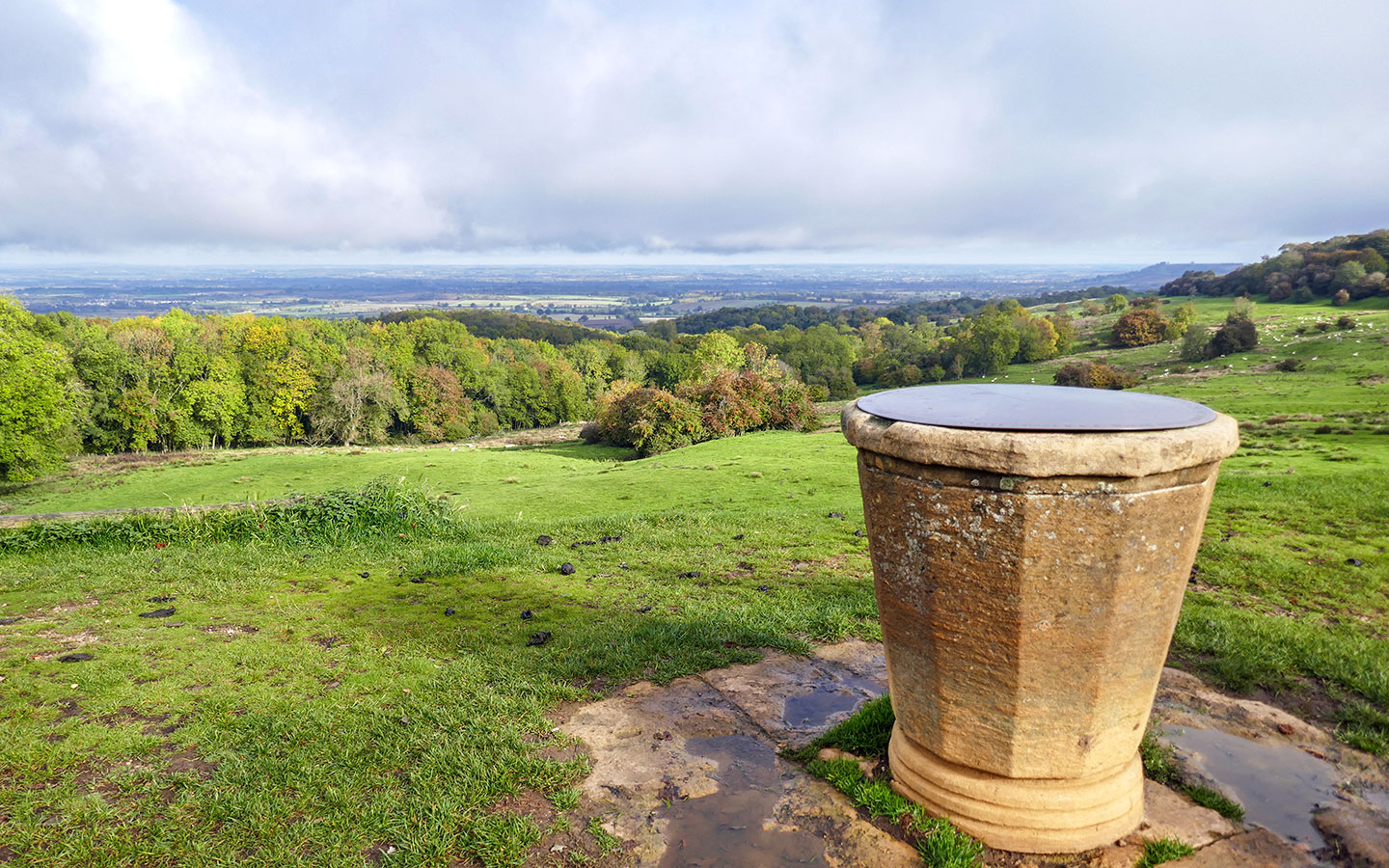
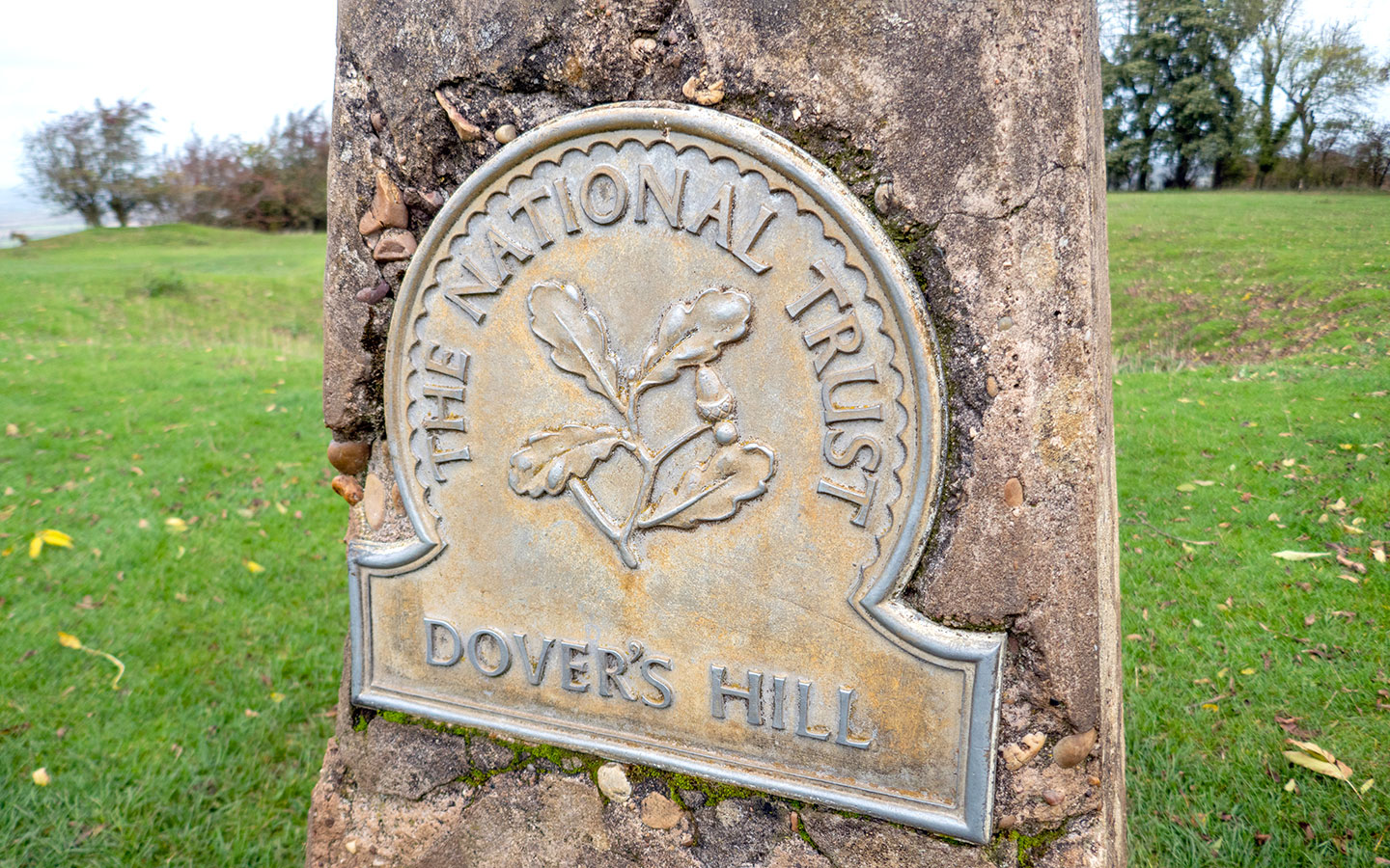
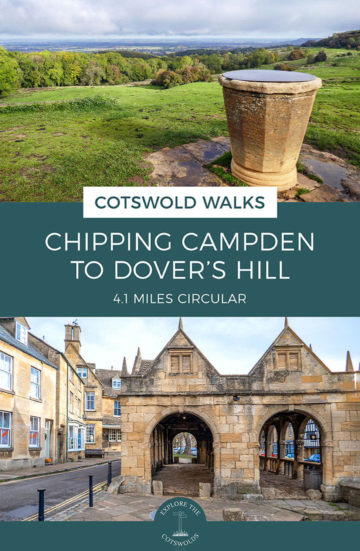
It climbs up to Dover’s Hill, a National Trust site at 230 metres (754 feet) high which is a natural amphitheatre with views out across the Cotswolds. It was also the site of the original English Olympic Games, which were started by Robert Dover (who gave the hill his name) in 1612.

Today the hill still hosts the annual Cotswold Olimpick Games each summer, with some unusual sporting events like tug o’ war, spurning the barre (an old English version of tossing the caber) and shin-kicking, which is followed by a torchlight procession back to Chipping Campden.
After running through leafy Lynches Wood, the trail then heads across fields back down to Chipping Campden, where there are plenty of pubs and cafés. The Chipping Campden to Dover’s Hill walk takes around two hours and is moderately challenging, with a few steep climbs.
Chipping Campden to Dover’s Hill walk details and map
- Distance: 4.1 miles/6.6km.
- Time: 2 hours.
- Elevation: 541 feet elevation gain.
- Difficulty: Moderate.
- Paths: A mix of grass and dirt paths (which can be muddy if it’s been wet) and stony tracks, with one main road to cross.
- Accessibility: No stiles but a few steep up- and downhill sections.
- Map: OL45 The Cotswolds*
- Toilets: There are public toilets in Chipping Campden on Sheep Street (GL55 6DX) and at the tourist information office on the High Street (GL55 6HB), but none along the route.
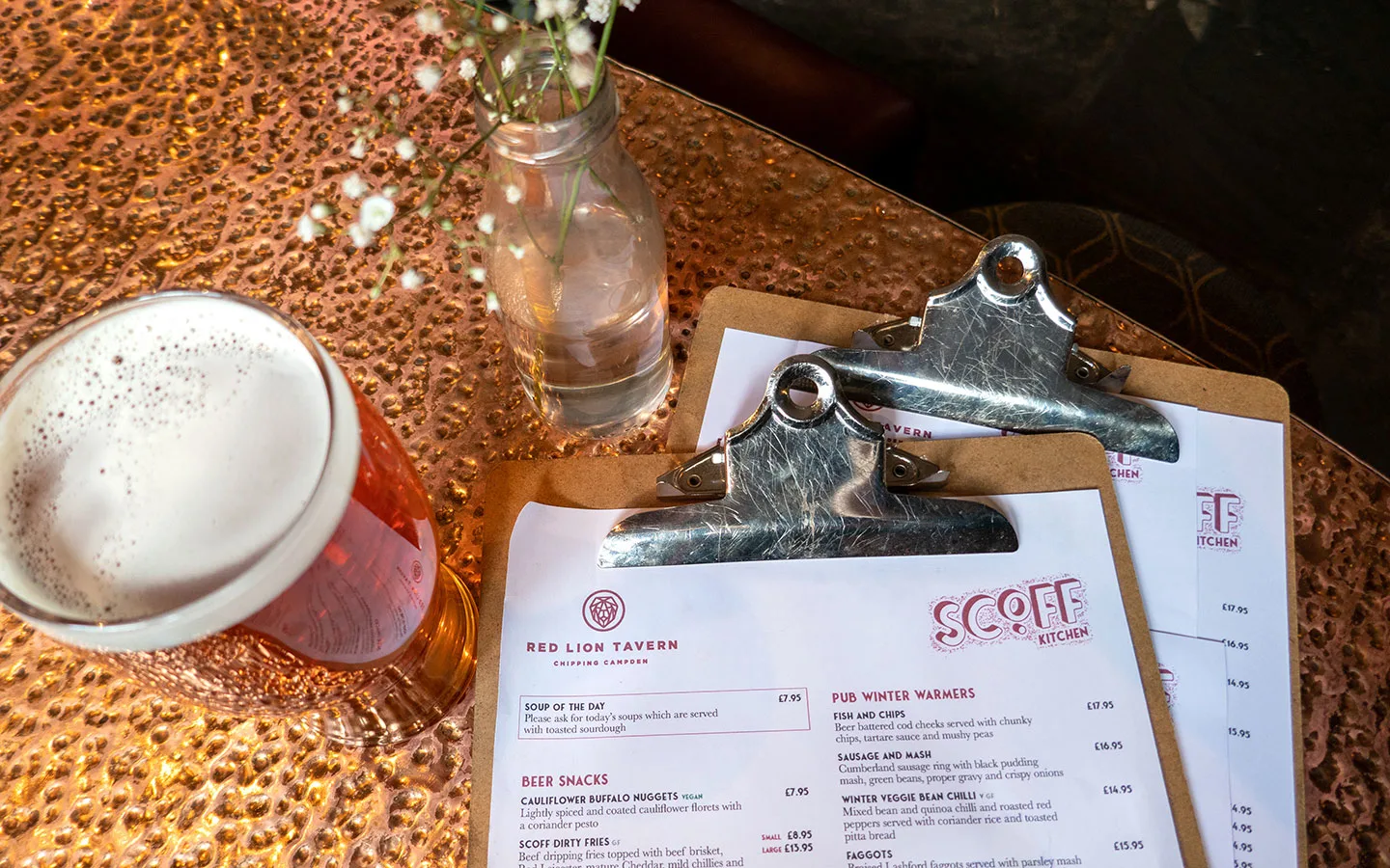
- Facilities: There are lots of places to eat and drink in Chipping Campden, including small Coop and One Stop supermarkets as well as delis, cafés, restaurants and pubs.
Disclaimer: While we try to keep information up-to-date and accurate, Explore the Cotswolds cannot accept responsibility for errors or omissions. Walks are undertaken at your own risk, and we are not liable for any personal injury, loss or damage that may occur.

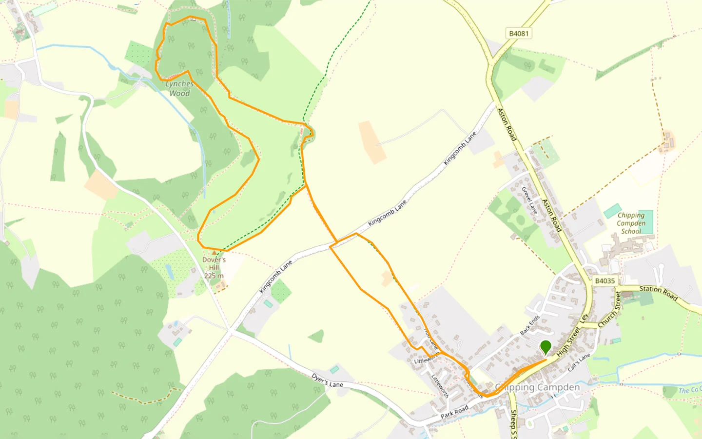
Click on the map above to be taken to Wikiloc, a free app where you can download a map and GPS directions for the Chipping Campden to Dover’s Hill walk.
Start/finish point
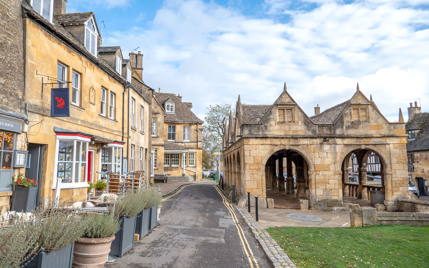
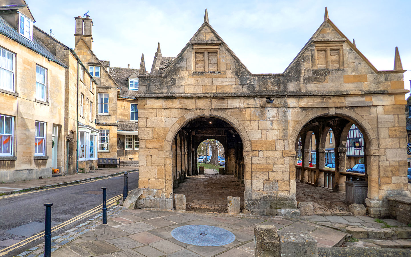
The starting point for the walk is the Market Hall in Chipping Campden (GL55 6AJ), where you’ll see a circular marker on the ground indicating the start (or finish) of the Cotswold Way.
If you’re travelling by car, there’s a car park in Chipping Campden Market Square, but the maximum stay is only two hours. There’s also on-street parking on the Back Ends and a car park at Chipping Campden School (GL55 6HT), which is open on weekends and in school holidays.
If you’re travelling by public transport, the nearest train stations are Moreton-in-Marsh and Stratford-upon-Avon. Both are connected to Chipping Campden by the Stagecoach number 1/2 bus in around 40 minutes. But there are only a few services a day and none on Sundays.
The Robin, the Cotswolds’ bookable bus service, also covers Chipping Campden. Its North Cotswolds service allows you to pre-book minibus journeys around the area, including to or from Moreton-in-Marsh train station. Rides can be requested and booked via their website and cost £3.

Chipping Campden to Dover’s Hill walk route
Stage 1: Chipping Campden to Dover’s Hill
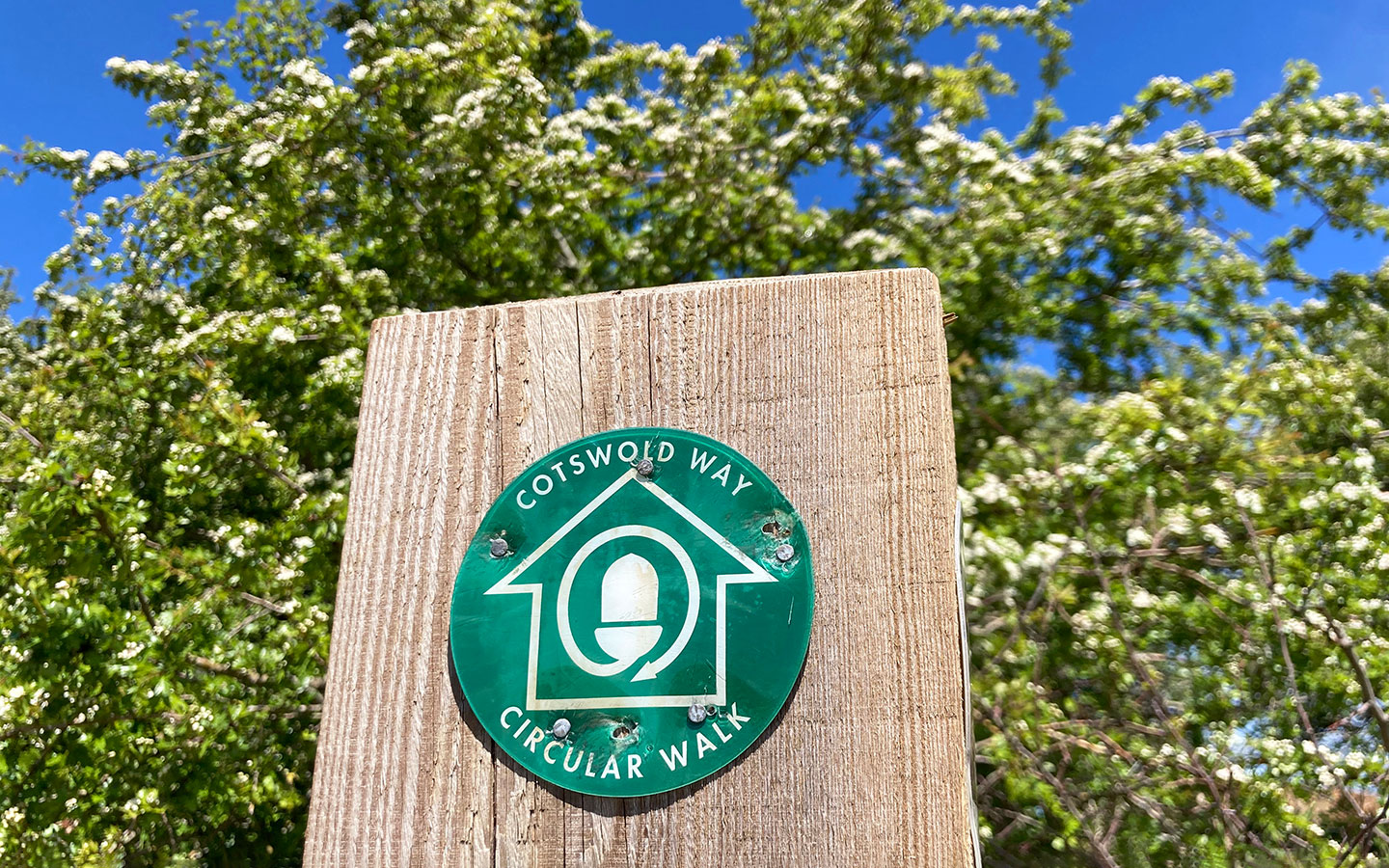
Start your walk at the Cotswold Way marker stone next to Chipping Campden Market Hall. Walk down the High Street past the war memorial and Town Hall, then turn right just after St Catharine’s Catholic Church, which was built in the 1880s. When you come to a road junction, go left up Hoo Lane – you’ll see a wooden fingerpost which marks the route of the Cotswold Way.
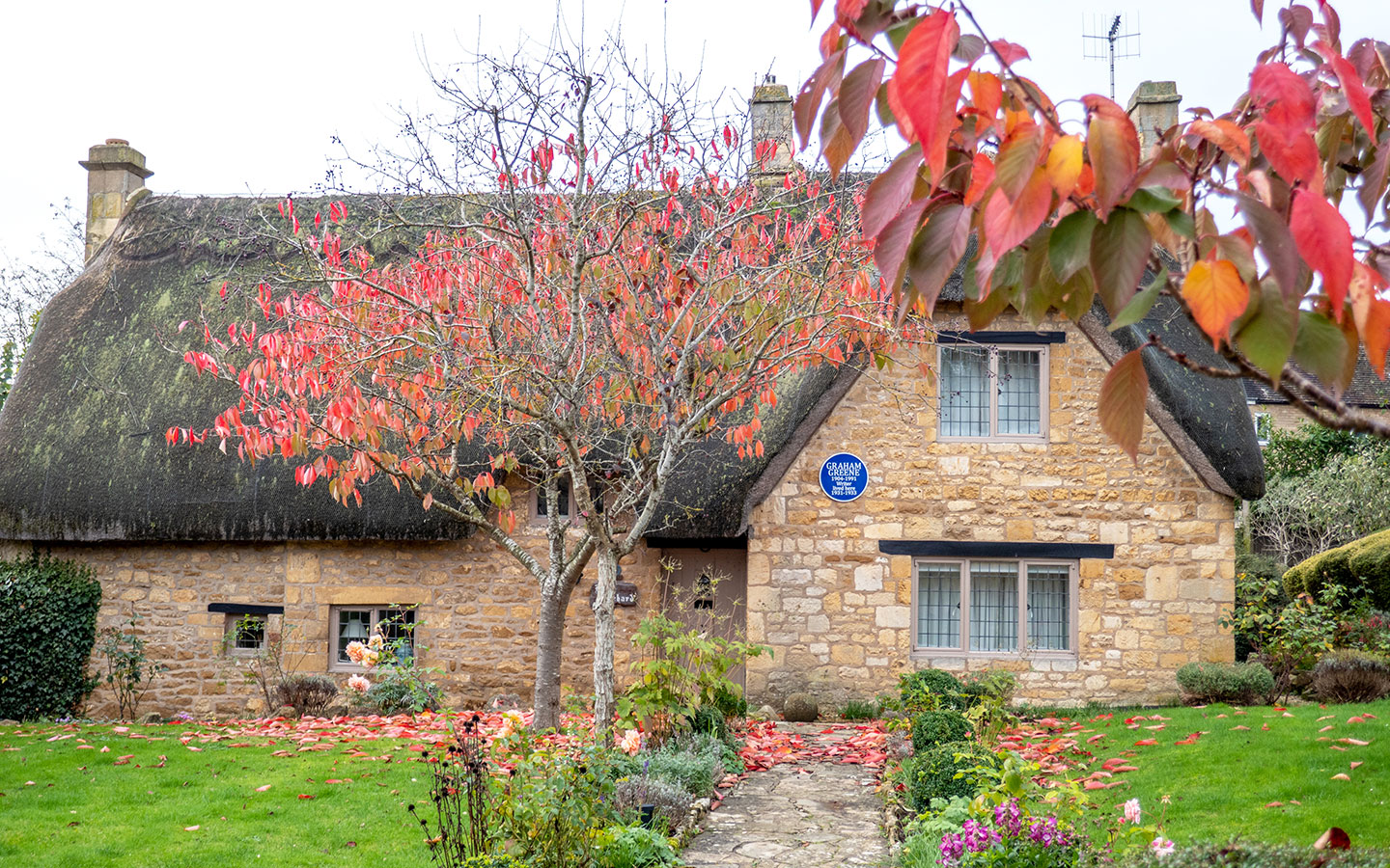
Keep an eye out for a pretty thatched cottage on your left as you walk up Hoo Lane. It has a blue plaque on the front as it was the home of author Graham Greene from 1931–1933, who penned famous novels including The Third Man, Brighton Rock and The End of the Affair.

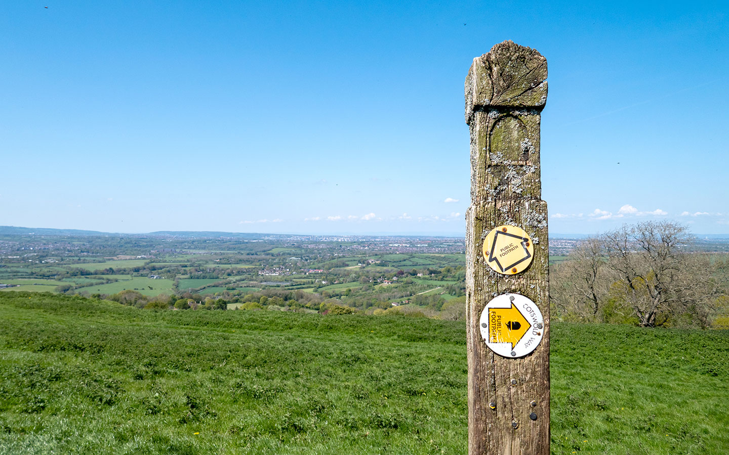
Carry on up Hoo Lane as it climbs uphill and turns into a stony track. When you reach Kingcomb Lane at the top of the hill, turn left and walk along the edge of the road for 85 metres (watch out for traffic). Then cross the road and take the footpath marked with another Cotswold Way signpost.
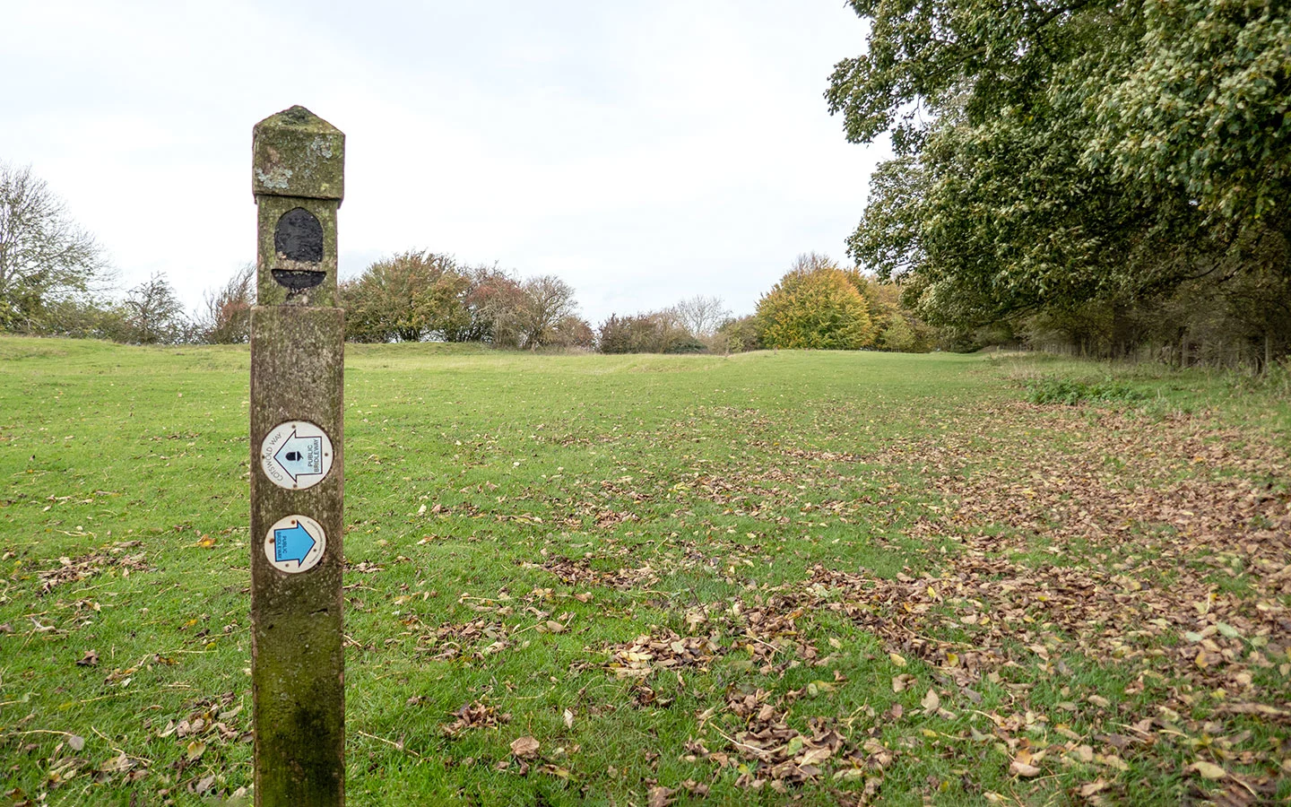
A narrow path runs between two fields before going through a wooden kissing gate onto Dover’s Hill, which is managed by the National Trust. At this point the Cotswold Way runs off to the left, but ignore that and follow the blue public bridleway sign pointing to the right instead.

Once you reach the trees, go through a wooden gate then take the path to the left which curves downhill. As you get to the edge of the trees you’ll see two gates in front of you. Go through the kissing gate on the left-hand side, marked with a green Cotswold Way Circular Walk sign.
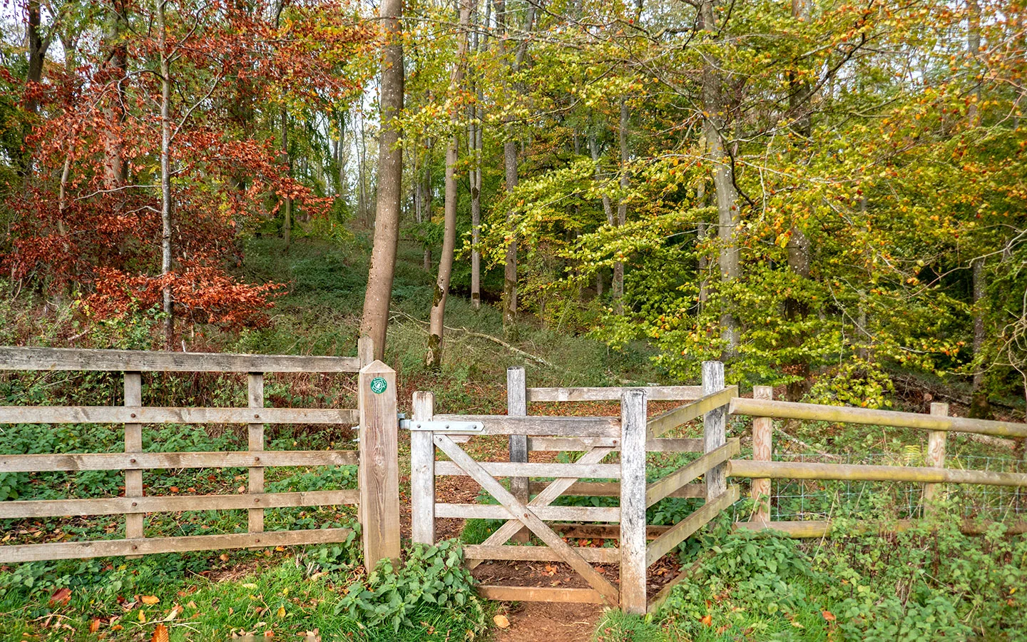
Walk down the hill, staying to the right of the field near the trees. Then when you reach the bottom of the hill you’ll see a wooden kissing gate which takes you into Lynches Wood.

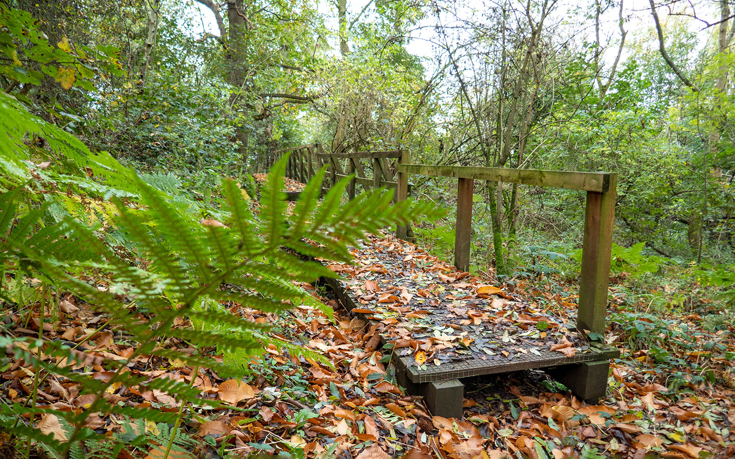
Stage 2: Lynches Wood
Go through the gate and follow the path through the woods, which are carpeted with bluebells in the spring. The path turns into a boardwalk for a short stretch the avoid the mud, then when you get towards the edge of the woods the path curves to the left and starts to climb uphill.
When you reach a National Trust/Cotswold Way Circular Walk signpost, turn to the left and climb up a long flight of steps (the arrow isn’t all that clear and looks a bit like you should follow the path ahead rather than turning a sharp left, so be be careful not to miss the turning).
When you get to the top of the steps, turn right and follow the path through the woods until you reach a wooden kissing gate, which takes you back into the field you walked down earlier. This time stay to the right of the field and follow the path as it climbs uphill.

Stage 3: Dover’s Hill to Chipping Campden
Partway up the hill the path splits in two, with one path running close to the treeline and the other going on straight ahead. Follow the path straight ahead. You’ll see a Cotswold Way Circular Walk signpost on your left where the path curves to the right and runs along the side of the hill.
Once you get near the top, follow the path as it bends to the left towards a stone topograph. From this point at the top of the hill you can look out over the Vale of Evesham and Malvern Hills (there’s also a convenient bench to stop at if you need to get your breath back).

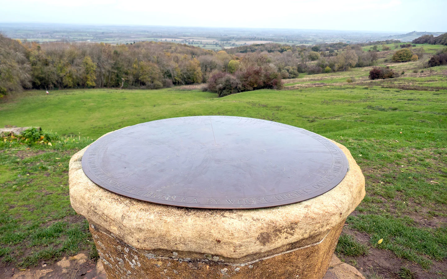
When you’re ready to carry on, leave the topograph behind you and head across the field towards a stile/gate which has a sign for the Cotswold Way pointing left. Follow the Cotswold Way along the ridge, passing a Dover’s Hill National Trust marker stone on the way.
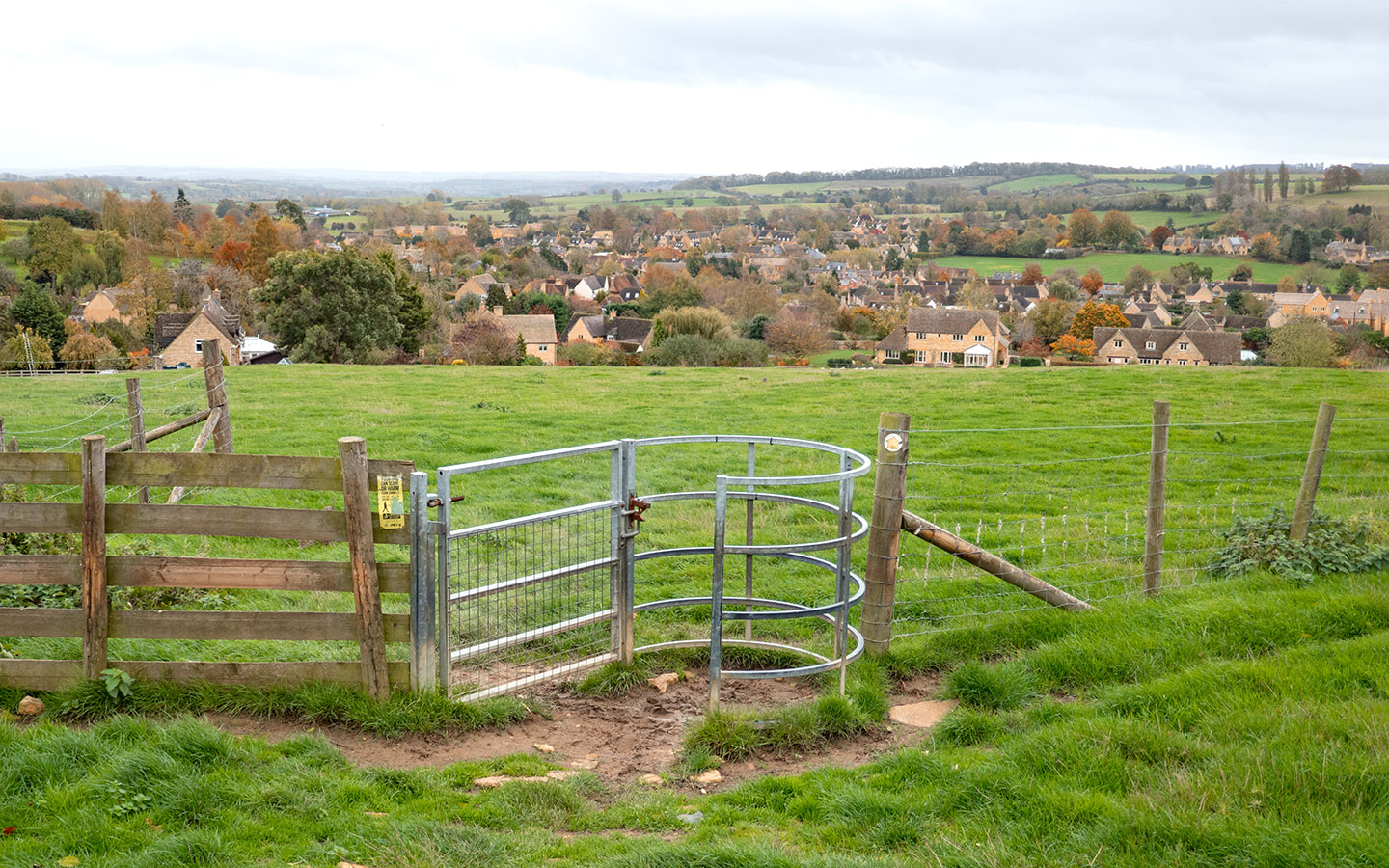
When you reach the corner of the field, go back through the kissing gate from earlier and retrace your steps to Kingcomb Lane. This time turn right and walk along the road for around 25 metres then turn off to the left at the metal signpost saying ‘Public footpath C. Campden’.
The path runs across the field, with views of the town in front of you. Keep heading downhill, passing through two kissing gates marked with a yellow public footpath sign. The next gate takes you along the edge of a field (which can contain sheep so be careful if you have a dog).

Then go through a fourth gate into a path between two houses, which joins onto a cul de sac. Walk down the road for around 10 metres then turn off to the right when you see a public footpath sign, which takes you across a tiny bridge and along a path which turns to the right.
When you meet the road, turn left and you’ll join back onto Hoo Lane. Follow the road down to the right and retrace your steps back past the church and along the High Street to the Market Hall (or you pass the Volunteer Inn and Red Lion pubs if you want to stop off).

* This site contains affiliate links, where I get a small commission from purchases at no extra cost to you.
Save for later

You might also like