
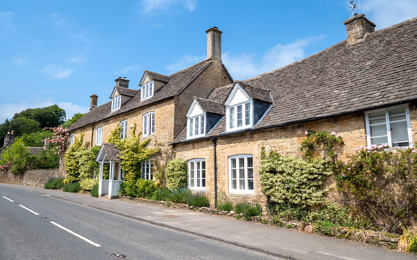
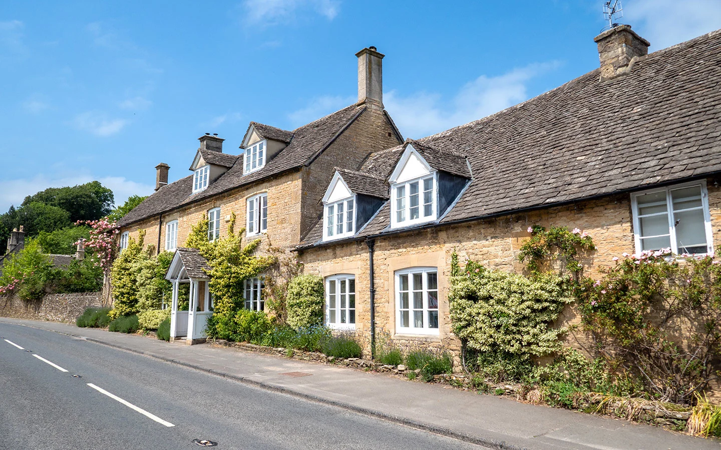
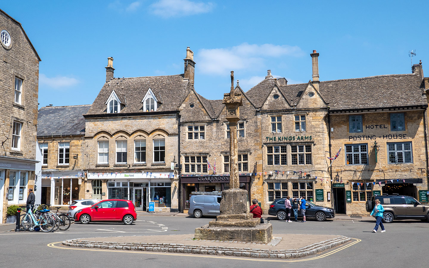
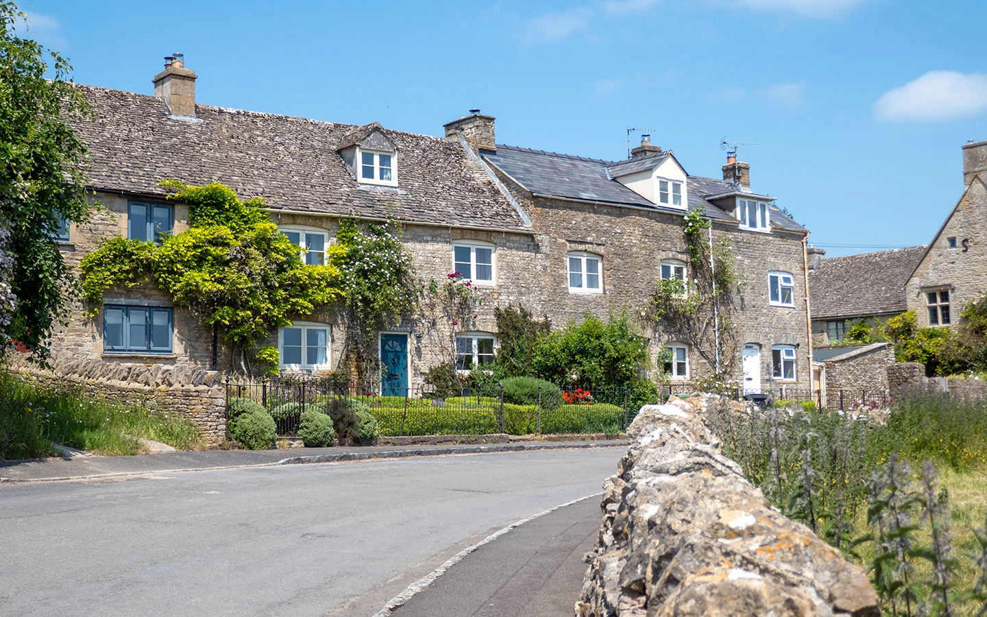
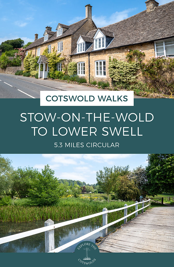
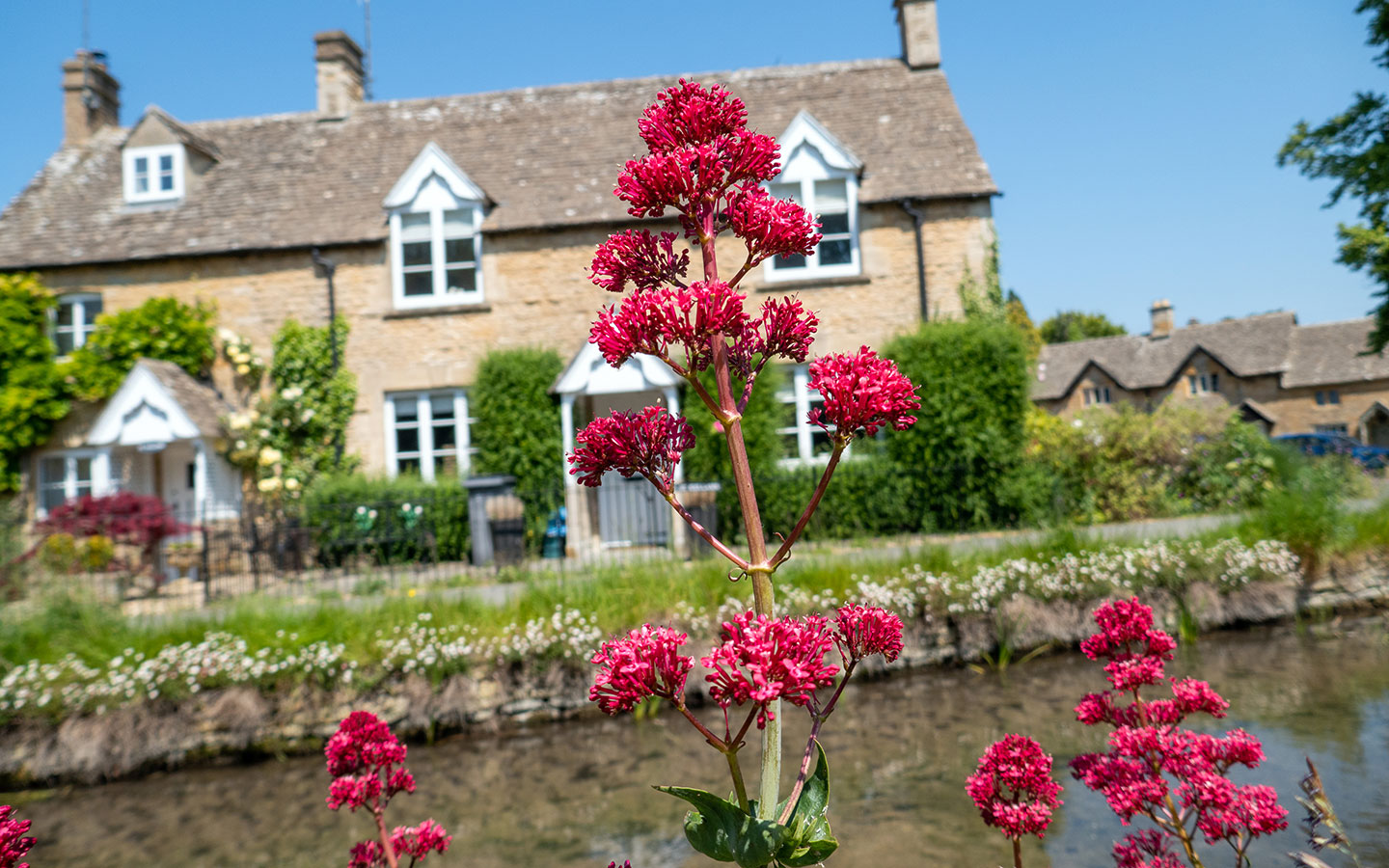
Explore the countryside and pretty villages surrounding Stow-on-the-Wold on this 5.3-mile/8.6km Stow-on-the-Wold to Lower Swell walk in the Cotswolds. The walk starts in the historic wool town of Stow-on-the-Wold, known for its picturesque Market Square and St Edward’s Church.
The route heads west towards tiny Upper Swell, where you can take a short diversion to visit St Mary’s Church. Then it runs south, following the River Dikler to Lower Swell, where there’s a lovely country pub you can stop off at, before continuing on through the Abbotswood Estate.
After joining the Fosse Way, which was once one of Britain’s major Roman roads, the route turns off and heads through Maugersbury village before looping back into the centre of Stow.
The Stow-on-the-Wold to Lower Swell walk takes around 2–2.5 hours and is rated as moderately difficult, with some gradual hills to climb. It follows stretches of several long-distance walking routes, including the Gloucestershire Way, Macmillan Way, Monarch’s Way, Heart of England Way and Donnington Way (a 62-mile route which connects 15 Donnington brewery pubs).

Stow-on-the-Wold to Lower Swell walk details and map
- Distance: 5.3 miles/8.6km.
- Time: 2–2.5 hours.
- Elevation: 440 feet elevation gain.
- Difficulty: Moderate.
- Paths: Grass and dirt paths, some quiet country roads and private driveways, pavements through the villages and a short stretch alongside the busy A429.
- Accessibility: Lots of kissing gates and some gradual up- and downhill climbs.
- Map: OL45 The Cotswolds*
- Toilets: Public toilets in Stow-on-the-Wold just off the Market Square (GL54 1AB) and in Maugersbury Road Car Park (GL54 1HH), both of which charge 40p. There are also customer toilets at the Golden Ball pub in Lower Swell but no public toilets along the route.
- Facilities: The Golden Ball in Lower Swell is just off the walking route and serves food and drinks. And there are plenty of shops, cafés and pubs in Stow-on-the-Wold.
Disclaimer: While we try to keep information up-to-date and accurate, Explore the Cotswolds cannot accept responsibility for errors or omissions. Walks are undertaken at your own risk, and we are not liable for any personal injury, loss or damage that may occur.


Click on the map above to be taken to Wikiloc, a free app where you can download a map and GPS directions for the Stow-on-the-Wold to Lower Swell walk.
Start/finish point
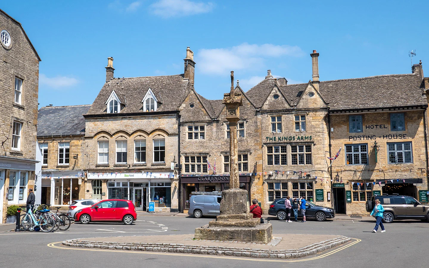
The starting point for the Stow-on-the-Wold to Lower Swell walk is Stow’s Market Square, on the corner of Church Street outside the shop ‘Scotts of Stow Across the Square’.
If you’re travelling by car, there’s parking in the Market Square, though it gets very busy and is limited to two hours. There are more spaces at the free Fossway Car Park (GL54 1BX) next to Tesco north of town plus a pay and display car park on Maugersbury Road (GL54 1HH). Both are very close to the walking route – the Fosseway near the start and Maugersbury Road at the end.
If you’re travelling by public transport, Stow-on-the-Wold’s nearest train station is in Moreton-in-Marsh. From there the Pulhams 801 bus (daily) runs to Stow around once an hour, taking 15 minutes. The nearest bus stop to the start of the walk is Stow-on-the-Wold Library.
Stow-on-the-Wold to Lower Swell walk route
Stage 1: Stow-on-the-Wold to Lower Swell via Upper Swell
Start your walk in Stow-on-the-Wold’s Market Square, and head north up the High Street, past the Post Office on your left and the wooden village stocks on your right. There have been stocks in the town since the 15th century and they were used to publicly punish misbehaving locals, whose ankles and wrists were restrained in the stocks while people threw rotten food at them.
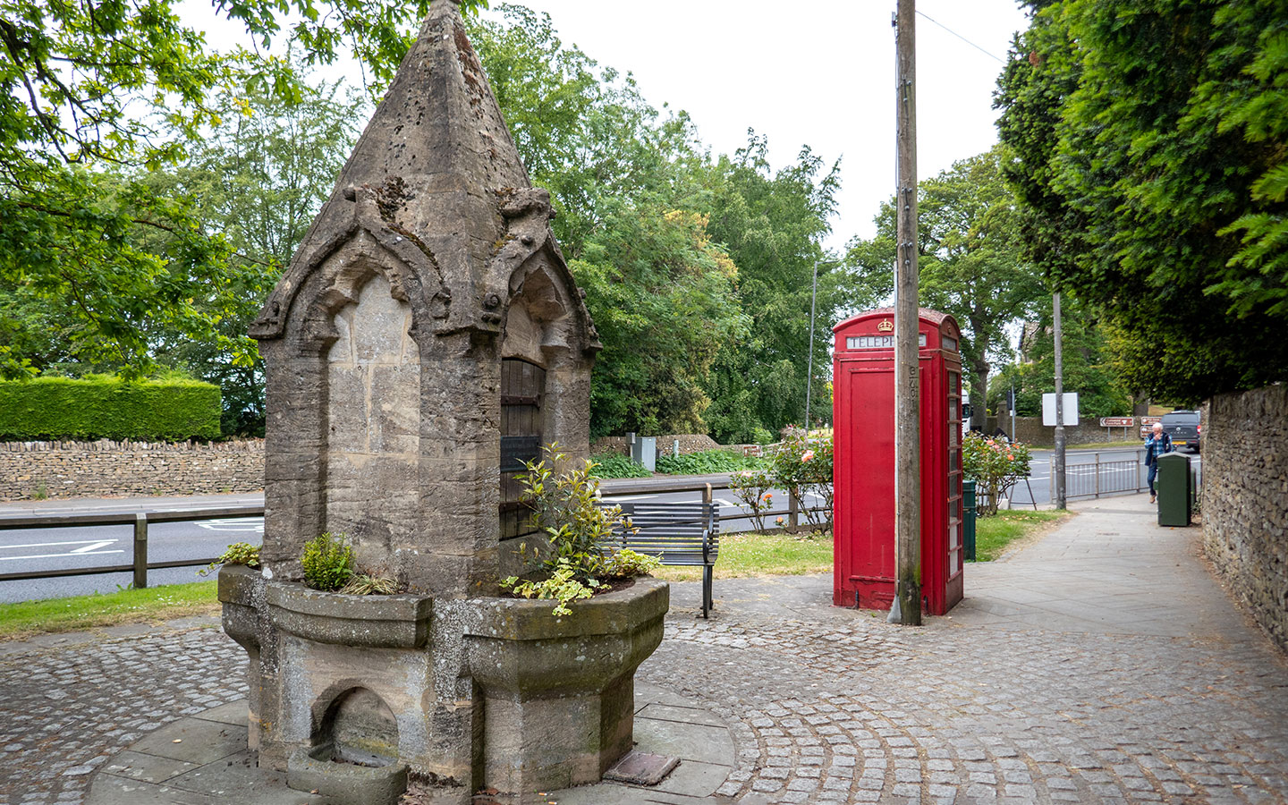
At the end of the High Street you’ll come to a red phone box and the Stow-on-the-Wold Fountain. Take the road in front of you signposted ‘Cotswold Farm Park’. You need to cross the busy A429 but there’s a crossing a few metres to your right which is the safest way to get across.

The road splits straight away – take the left-hand road (Tewkesbury Road) signposted Upper Swell, Ford, Tewkesbury and Cotswold Farm Park. This is also part of the Gloucestershire Way walking route, with a path along the wide grass verge so you don’t need to walk on the road.
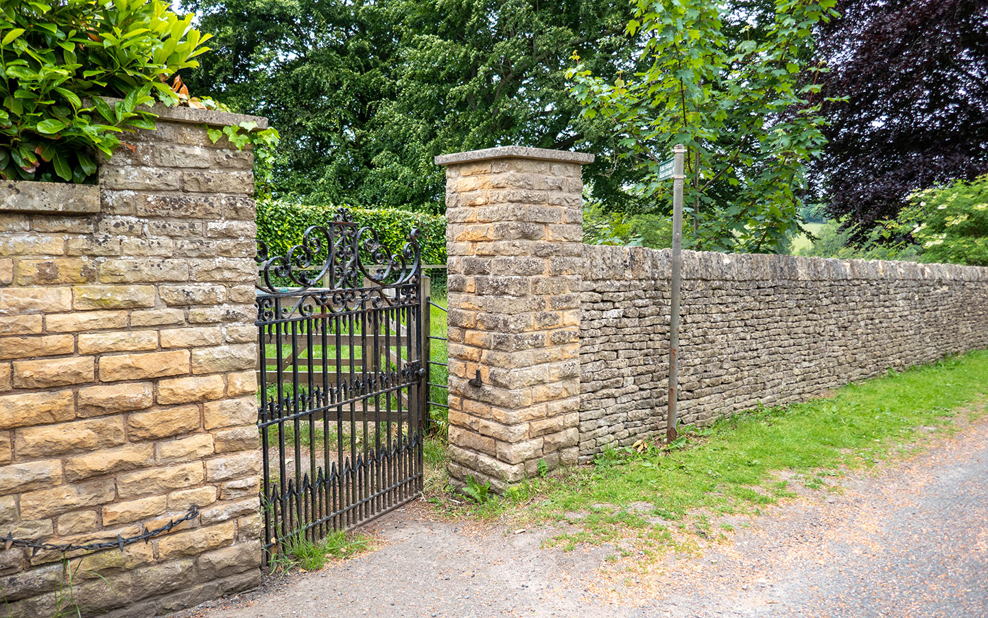
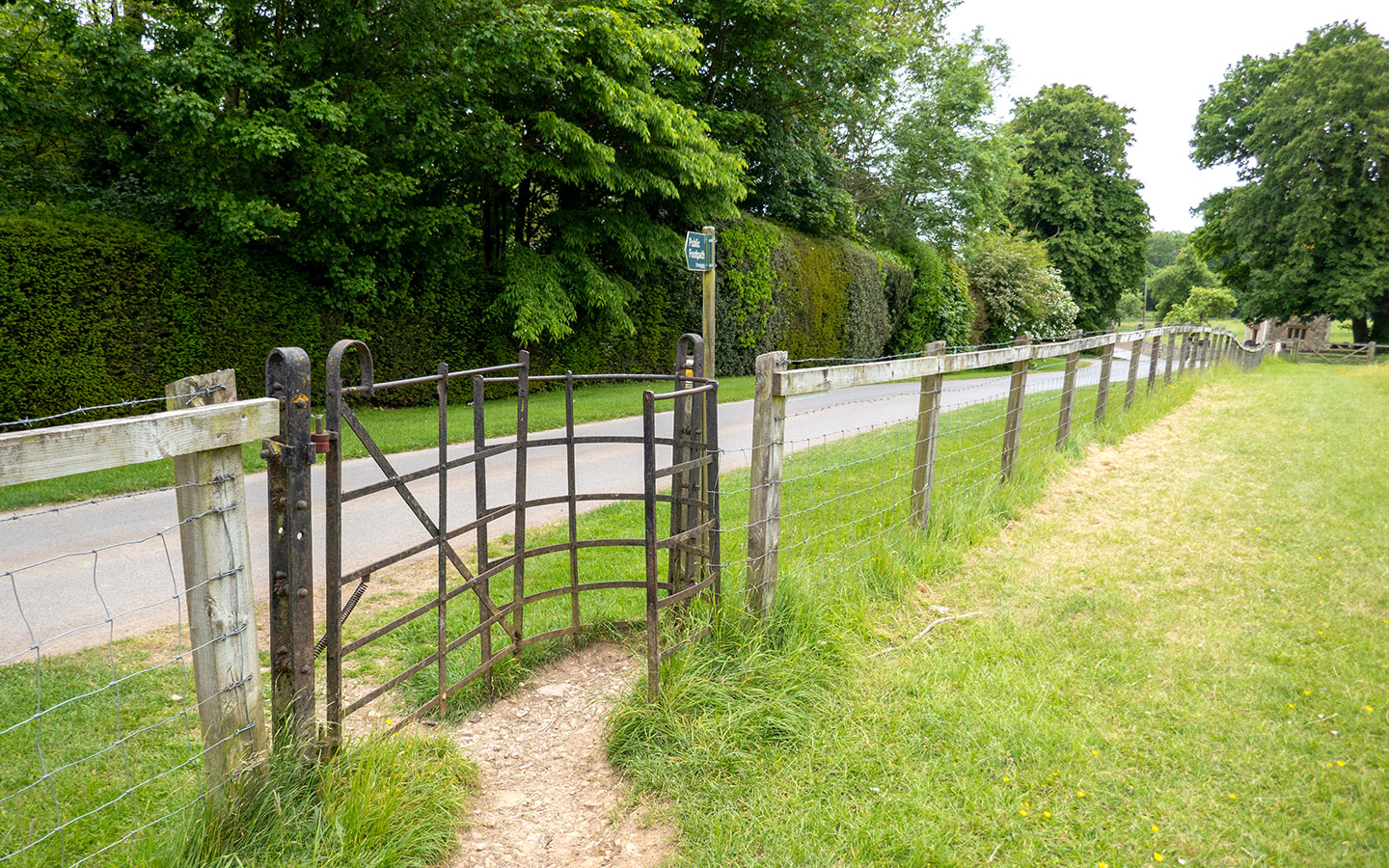
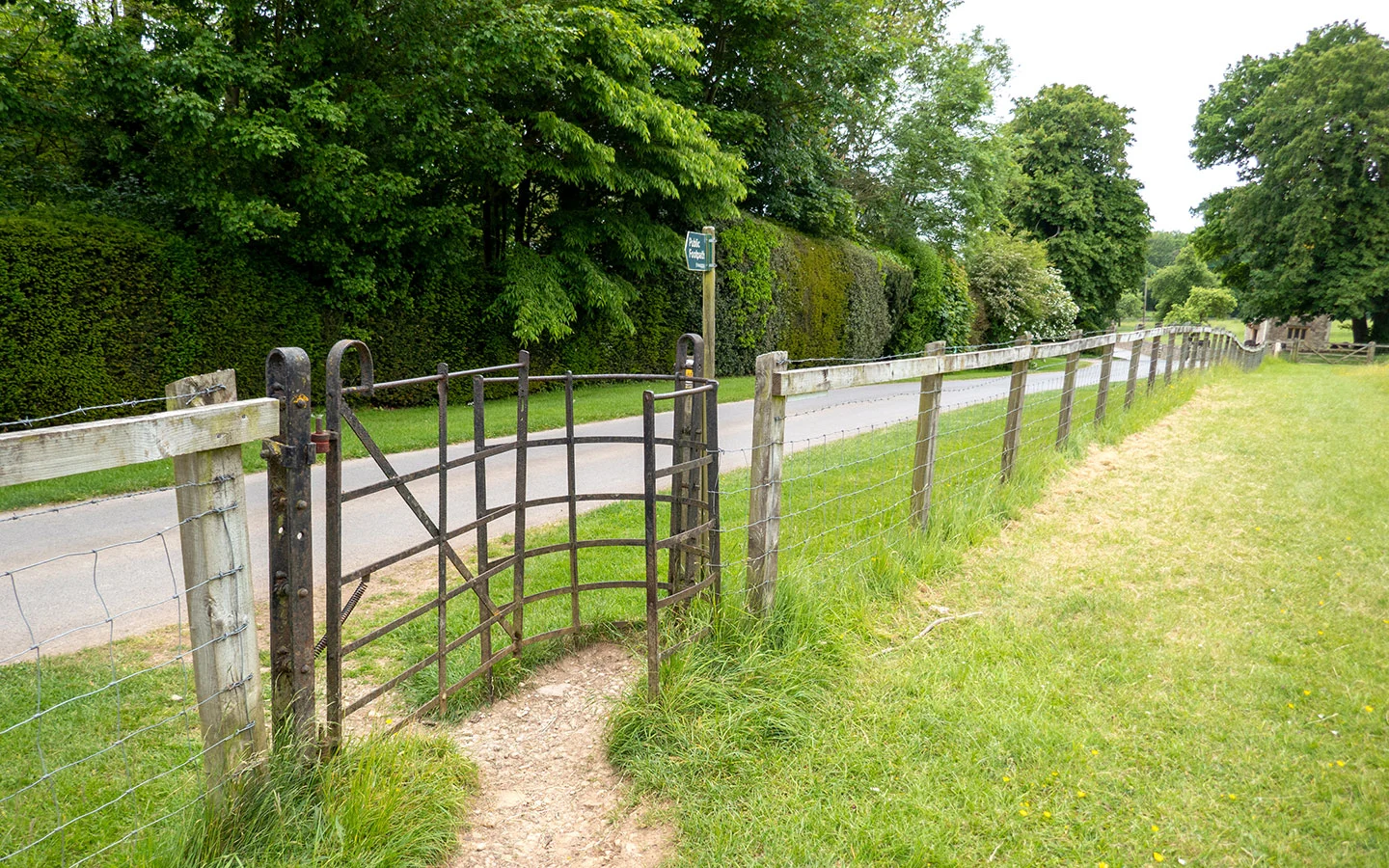
Just after you pass a driveway on your left and a gatehouse for the Abbotswood Estate, go through a metal gate on the left which is marked with a green Public Footpath/Gloucestershire Way finger post. Go through a kissing gate and follow the path as it runs straight ahead.

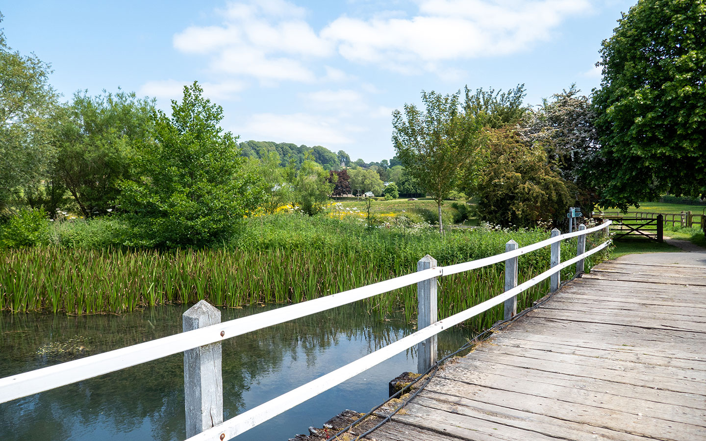
At the end of the field, go through another kissing gate and cross a stone bridge over the River Dikler. Go straight ahead as the path runs uphill along the edge of a field. At the top of the hill you’ll see a metal kissing gate on your right marked Public Footpath/Heart of England Way.
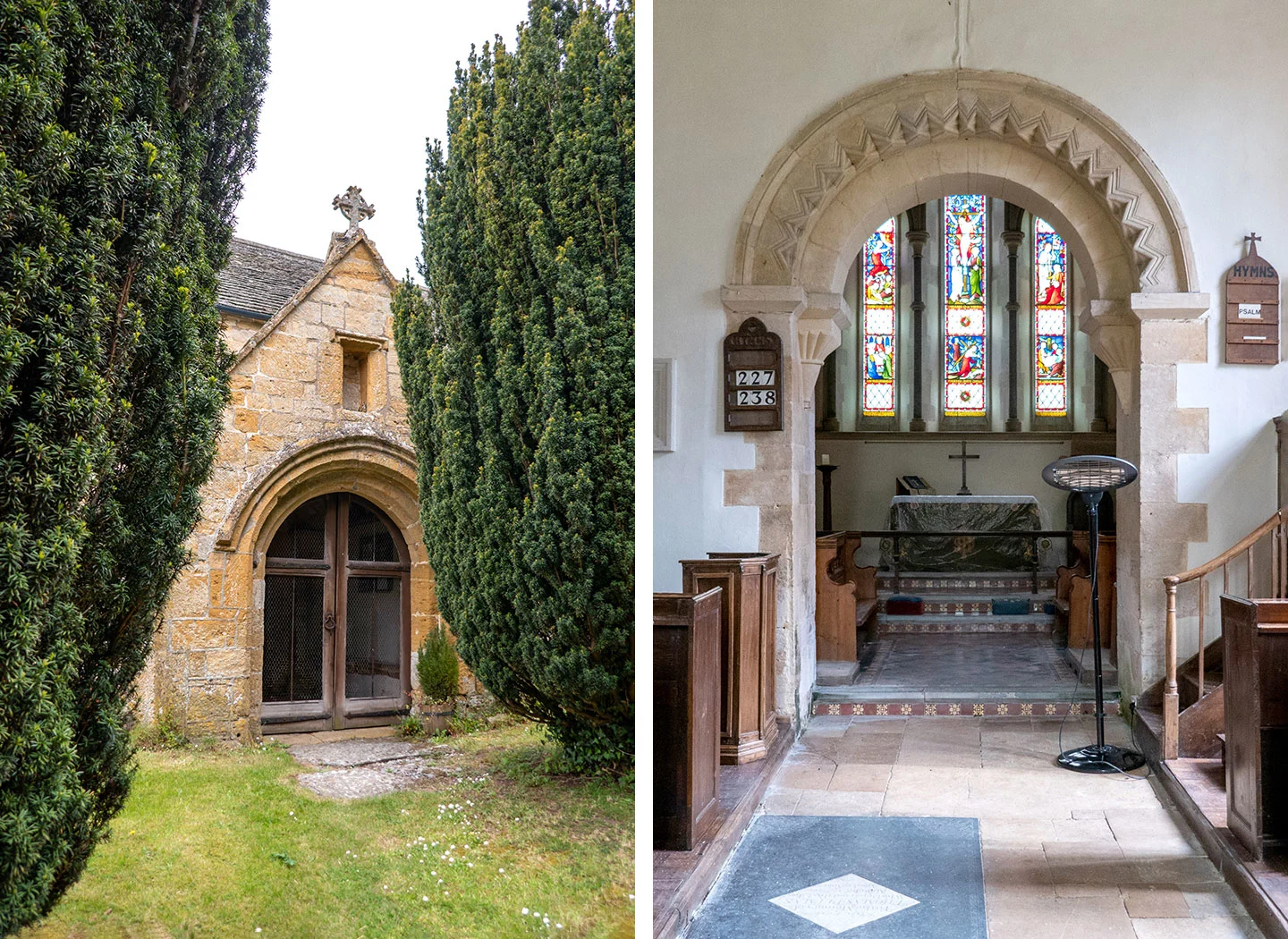
At this point you can take a short diversion into the village of Upper Swell. Go through the gate on the right and follow the path across the field. When the path reaches the road, turn left and walk into the village. It’s very small so there’s not much there but you can visit the tiny St Mary’s Church. Then retrace your steps to the kissing gate.

Rather than going through the kissing gate, follow the path as it turns sharply to the left instead. Stay on this path as it runs through woodland then opens out, passing through several kissing gates which are marked with Heart of England Way and Donnington Way signs.
After walking across a field you’ll reach a metal kissing gate, go through this onto a driveway, just in front of a gate into the Abbotswood Estate. The estate covers over 774 acres, with a 10-bedroom manor and gardens designed by Edwin Lutyens – and has a £32 million price tag!
Turn right and follow the driveway as it runs downhill. Just before reaching the main road, go through a wooden kissing gate on the right and follow the path across the field towards the church. The path curves around to the left following a stone wall then joins onto a track.
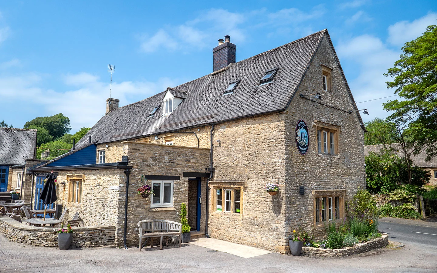
Go straight ahead, and when the track meets the main road into Lower Swell you can take a brief diversion to the right to visit (another) St Mary’s Church. Otherwise turn left and follow the road downhill into the village. At the crossroads, turn left if you want to stop off at The Golden Ball, a traditional Cotswold stone inn serving sandwiches, pub food and Donnington Ales.

Stage 2: Lower Swell to Stow-on-the-Wold via Maugersbury
Back at the crossroads, take the road ahead which is signposted The Slaughters, Naunton and Cheltenham, and walk past the bus shelter. After 250 metres turn left down Mill Lane, which is marked with a School sign. Then just after you pass a house called Much Hills, take the stony path which runs off to the left and is marked with Public Bridleway/Heart of England Way signs.
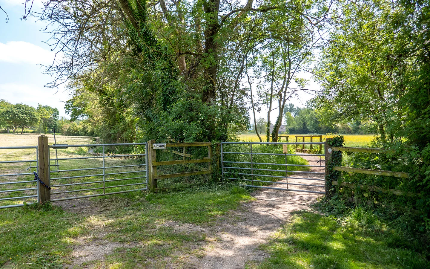
Carry straight on across the crossroads with farm buildings to your left, and continue on through a couple of gates. At the end of the next field you’ll see two metal gates next to each other – go through the right-hand one (the other is marked Private) and cross over a small bridge.

Walk straight ahead across the field towards a group of stone buildings. When you reach them you’ll see a signpost pointing to the left which says Monarch’s Way. Follow this path in front of the houses and garages, then cross the bridge over the River Dickler.
Just after the bridge there are two pathways – one on the left through a white gate and one in front through a wooden gate. Take the path straight ahead marked with a signpost saying Public Footpath/Stow-on-the-Wold. The path runs past stables and around the edge of a paddock.


At the end of the paddock, go through a wooden gate and turn left onto a driveway. Follow the drive as it climbs uphill until it eventually reaches the A429. Turn left and walk along the A429 – there’s an island to help you cross over and then a path along the right-hand side of the road.
The A429 is also known as the Fosse Way and follows the route of the old Roman road which was built in the First and Second Centuries AD to connect Exeter and Lincoln.
After 300 metres at the end of the stone wall, you’ll see a track to your right. Go through the metal gate and follow this small road as it heads towards the village of Maugersbury along a stretch of the Macmillan Way – with some lovely views over the valley to your right.


When the road comes to a junction, carry on straight ahead up the road into Maugersbury. Then when you reach the next junction, take the road on the left signposted Stow-on-the-Wold 1/2 mile. Follow this road as it climbs uphill. Towards the top of the hill you’ll pass The Bell at Stow pub on your right – and there are public toilets opposite in Maugersbury Road Car Park.
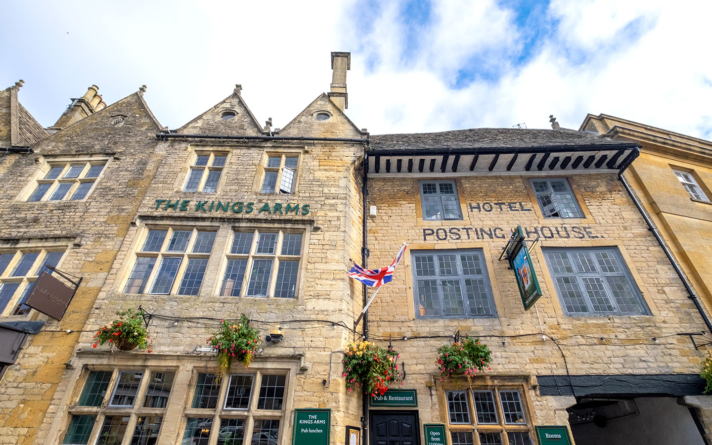
At the top of the hill the road joins onto Stow’s Park Street. Turn left then cross over the road, following Digbeth Road as it turns off to the right just past the Porch House pub until you arrive back into the Market Square. Then if you want to stop for a drink or ice cream, the King’s Arms pub, Coach House Coffee and Alfonso Gelateria are all located around the square.

* This site contains affiliate links, where I get a small commission from purchases at no extra cost to you.
Save for later

You might also like


Nanci
Saturday 5th of July 2025
Would you say this is a picturesque walk or not?
Lucy Dodsworth
Friday 11th of July 2025
Hi Nanci, yes it's a nice countryside walk with lots of rural views.
Kelsey
Sunday 20th of April 2025
9/10 times my husband and I feel lost on hikes/walks- this guide was the exception! We were able to follow it seamlessly and the pictures were a great help. Thank you!
Lucy Dodsworth
Tuesday 22nd of April 2025
Thanks Kelsey, that's great to hear and so glad you enjoyed the walk!